MyTopo
Classic USGS Hopkins Butte California 7.5'x7.5' Topo Map
Couldn't load pickup availability
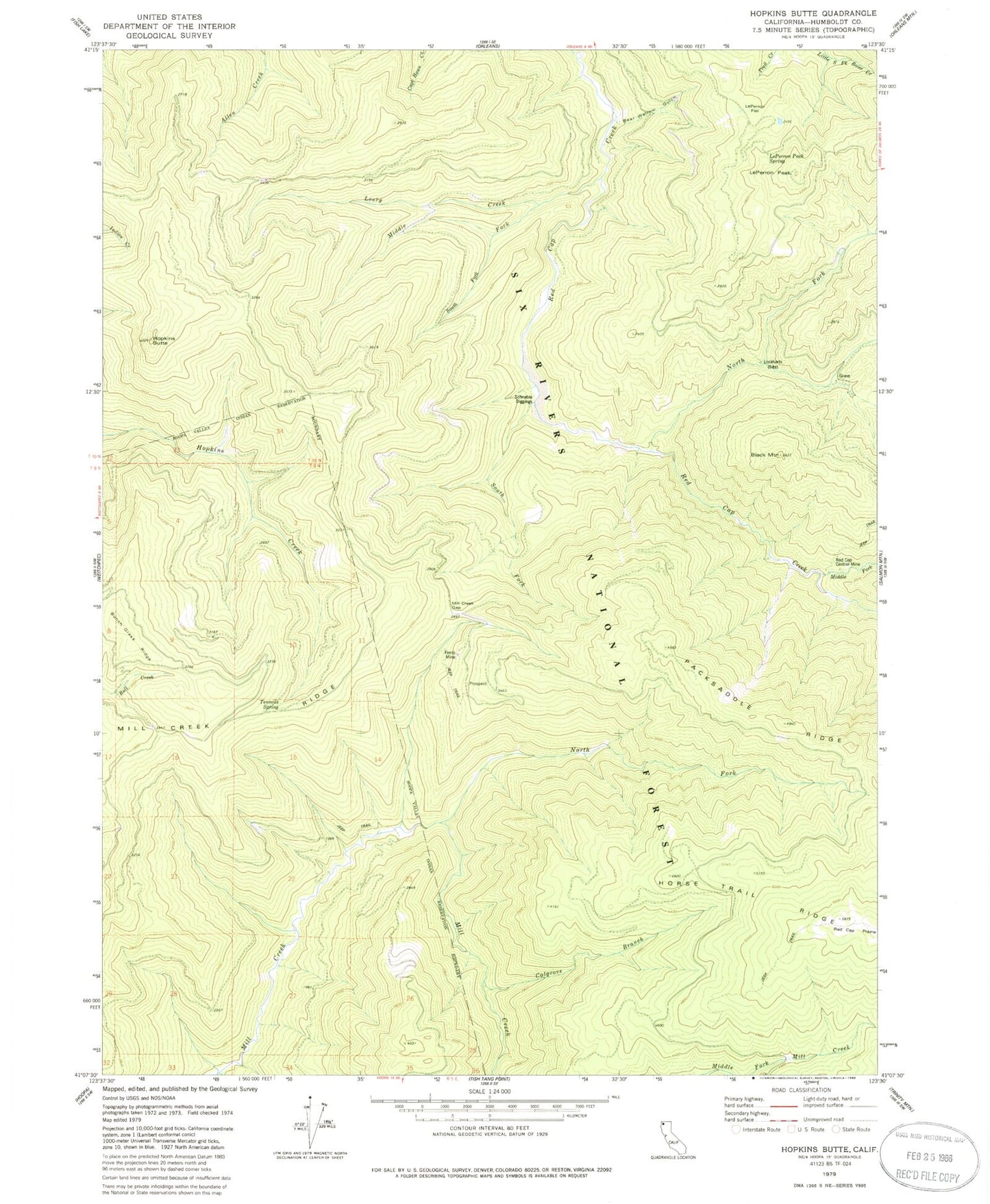
Historical USGS topographic quad map of Hopkins Butte in the state of California. Map scale may vary for some years, but is generally around 1:24,000. Print size is approximately 24" x 27"
This quadrangle is in the following counties: Humboldt.
The map contains contour lines, roads, rivers, towns, and lakes. Printed on high-quality waterproof paper with UV fade-resistant inks, and shipped rolled.
Contains the following named places: Bear Wallow Gulch, Black Mountain, Bunch Grass Ridge, Bunchgrass Creek, Colgrove Branch, Ferris Mine, Hopkins Butte, Le Perron Flat, Le Perron Peak, Leary Creek, LePerron Peak Spring, Lockharts, Middle Fork Leary Creek, Middle Fork Red Cap Creek, Mill Creek Gap, Mill Creek Ridge, North Fork Mill Creek, North Fork Red Cap Creek, Red Cap Central Mine, Schnable Diggings, South Fork Leary Creek, South Fork Red Cap Creek, Tenmile Spring