MyTopo
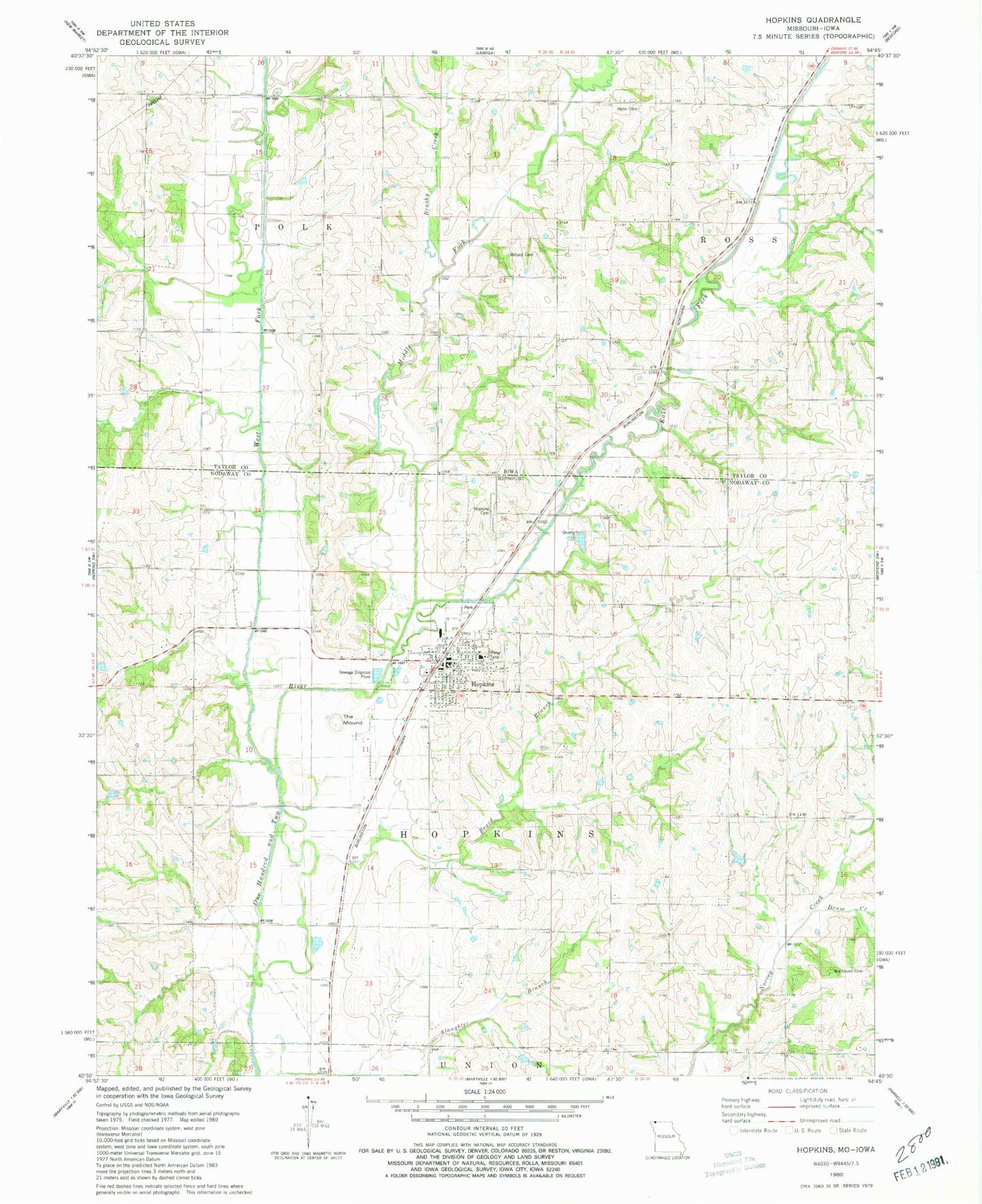
Classic USGS Hopkins Missouri 7.5'x7.5' Topo Map
Couldn't load pickup availability
Historical USGS topographic quad map of Hopkins in the states of Missouri, Iowa. Map scale may vary for some years, but is generally around 1:24,000. Print size is approximately 24" x 27"
This quadrangle is in the following counties: Nodaway, Taylor.
The map contains contour lines, roads, rivers, towns, and lakes. Printed on high-quality waterproof paper with UV fade-resistant inks, and shipped rolled.
Contains the following named places: Beard Branch, Blackford Lake Dam, Brushy Creek, City of Hopkins, Drum Creek, East Fork One Hundred and Two River, Excelsior School, Fairview School, Helm Cemetery, Hopkins, Hopkins Cemetery, Hopkins Fire Protection District, Hopkins Post Office, Landis Post Office, Middle Fork One Hundred and Two River, North Nodaway Junior Senior High School, Ovid Post Office, Prairie Flower School, State Line Station, The Mound, Township of Hopkins, Township of Polk, Unity Church, Unity School, Washburn Cemetery, West Fork One Hundred and Two River, Willard Cemetery, Williams Cemetery, ZIP Code: 64461