MyTopo
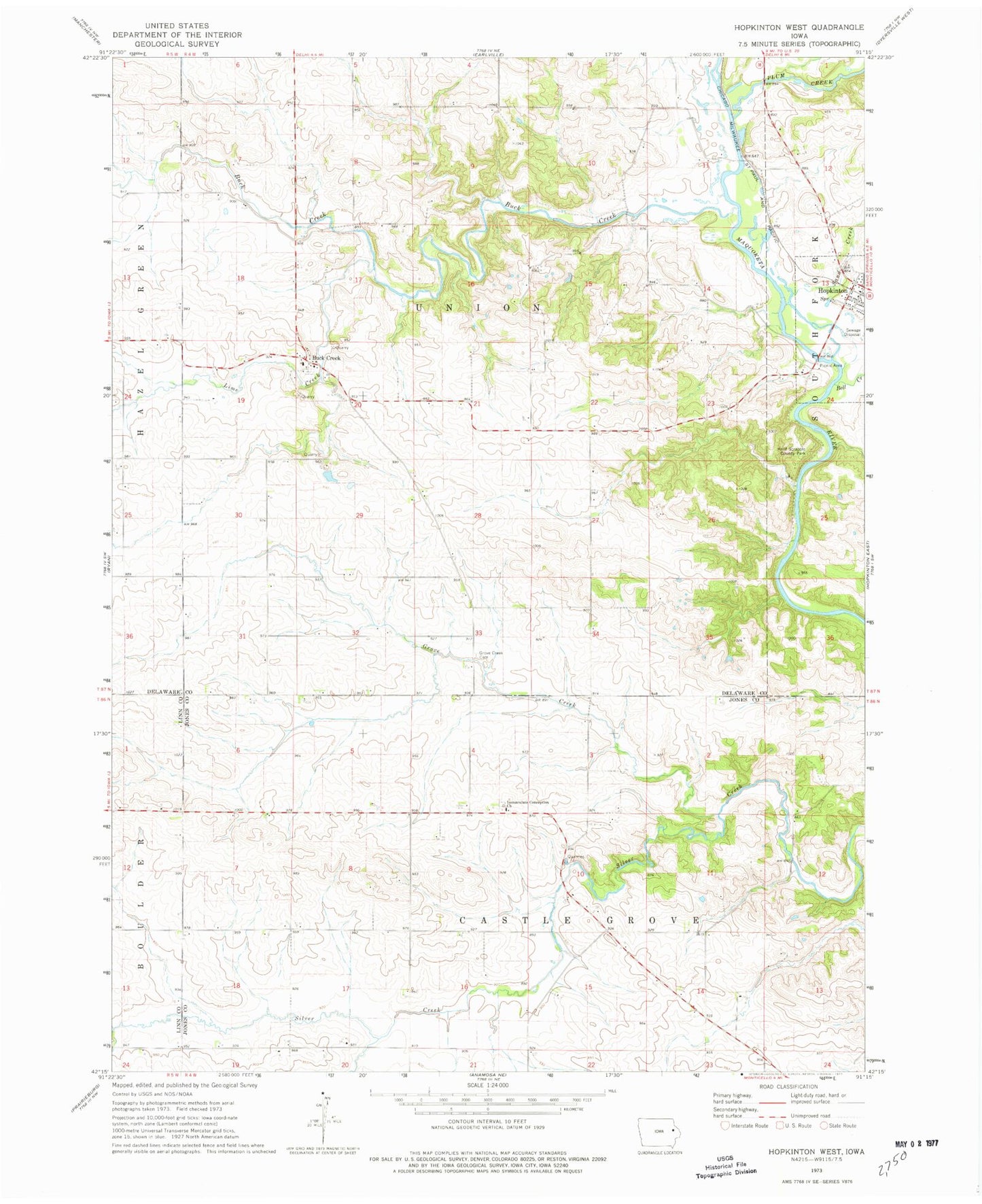
Classic USGS Hopkinton West Iowa 7.5'x7.5' Topo Map
Couldn't load pickup availability
Historical USGS topographic quad map of Hopkinton West in the state of Iowa. Map scale may vary for some years, but is generally around 1:24,000. Print size is approximately 24" x 27"
This quadrangle is in the following counties: Delaware, Jones, Linn.
The map contains contour lines, roads, rivers, towns, and lakes. Printed on high-quality waterproof paper with UV fade-resistant inks, and shipped rolled.
Contains the following named places: Argand, Argand Post Office, Argland, Bell Creek, Boulder Post Office, Buck Creek, Buck Creek Cemetery, Castle Grove, Castle Grove Baptist Cemetery, Downersville Post Office, Grove Creek, Grove Creek Cemetery, Grove Creek Post Office, Hard Scrabble County Park, Hopkinton Wastewater Plant, Immaculate Conception Cemetery, Immaculate Conception Church, Lime Creek, Plum Creek, Sand Creek, Township of Castle Grove, Township of Union, Uniontown, Uniontown Post Office