MyTopo
Classic USGS Hoppin Springs Oregon 7.5'x7.5' Topo Map
Regular price
$16.95
Regular price
Sale price
$16.95
Unit price
per
Couldn't load pickup availability
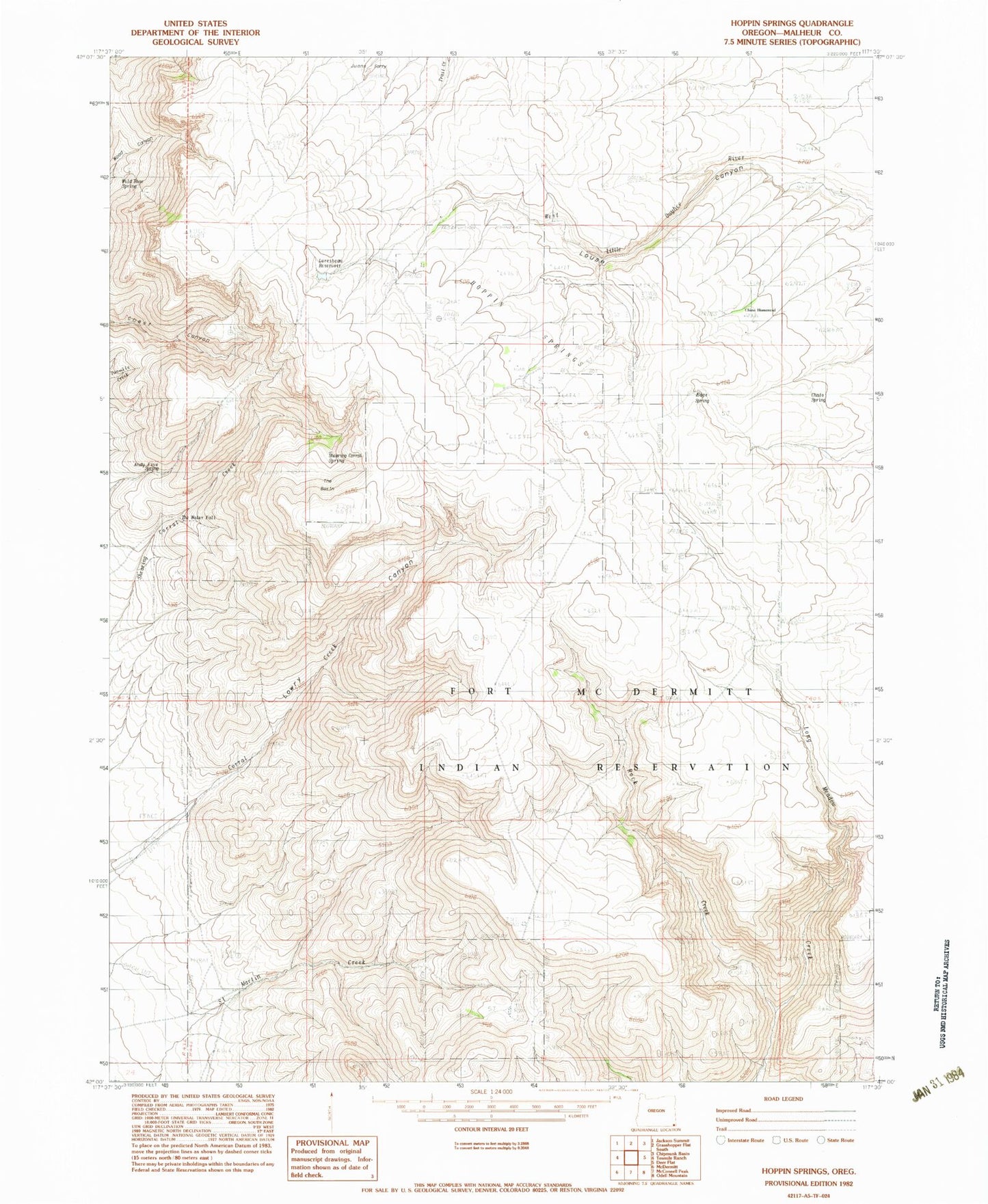
Historical USGS topographic quad map of Hoppin Springs in the state of Oregon. Map scale may vary for some years, but is generally around 1:24,000. Print size is approximately 24" x 27"
This quadrangle is in the following counties: Malheur.
The map contains contour lines, roads, rivers, towns, and lakes. Printed on high-quality waterproof paper with UV fade-resistant inks, and shipped rolled.
Contains the following named places: Andy Five Spring, Chato Spring, Chino Homestead, Edge Spring, Fort McDermitt Indian Reservation, Hoppin Springs, Juans Forty, Larribeau Reservoir, Lowry Canyon, Rock Creek, Shearing Corral Spring, The Basin, The Water Fall, Wild Rose Spring