MyTopo
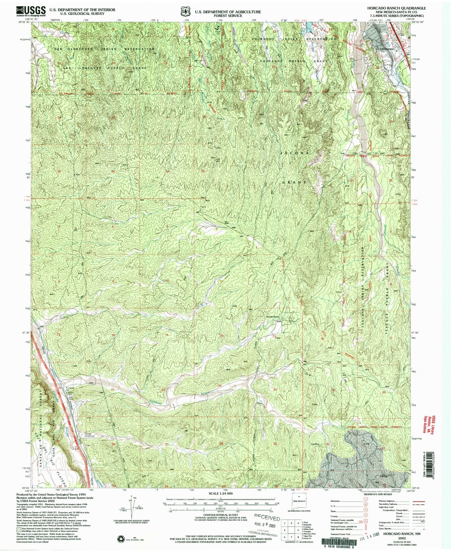
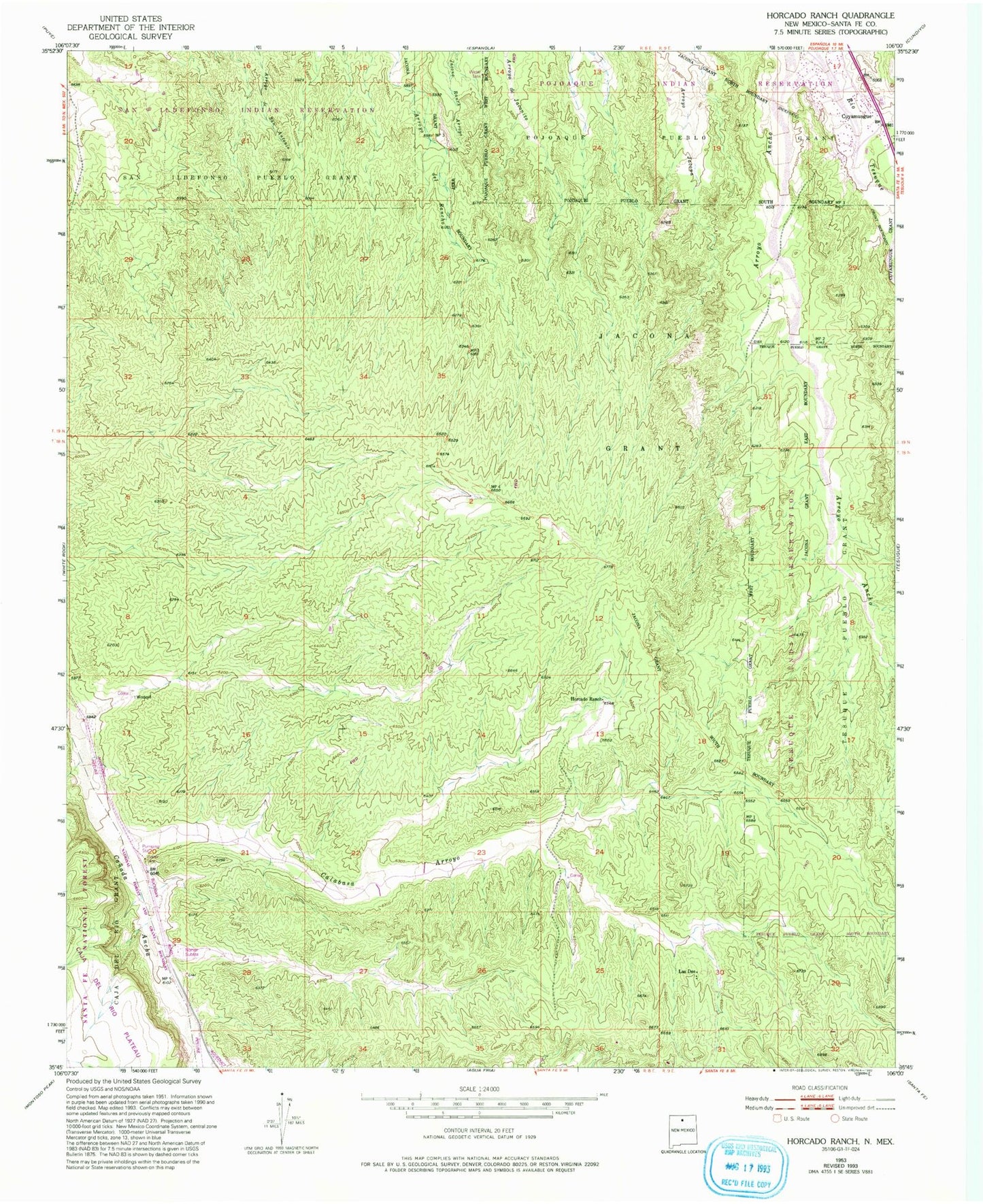
Classic USGS Horcado Ranch New Mexico 7.5'x7.5' Topo Map
Couldn't load pickup availability
Historical USGS topographic quad map of Horcado Ranch in the state of New Mexico. Map scale may vary for some years, but is generally around 1:24,000. Print size is approximately 24" x 27"
This quadrangle is in the following counties: Santa Fe.
The map contains contour lines, roads, rivers, towns, and lakes. Printed on high-quality waterproof paper with UV fade-resistant inks, and shipped rolled.
Contains the following named places: Calabasa Arroyo, Cuyamungue, Cuyamungue Census Designated Place, Fraction Mine, Horcado Ranch, Jacona Grant, Kosack Mining Company Mine, Las Dos, Norton Substation, RG-10843 Water Well, RG-11784 Water Well, RG-20606 Water Well, RG-26777 Water Well, RG-27065 Water Well, RG-2833 Water Well, RG-438 Water Well, RG-6386 Water Well