MyTopo
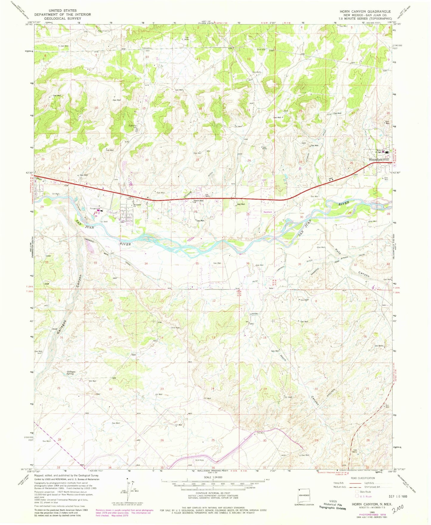
Classic USGS Horn Canyon New Mexico 7.5'x7.5' Topo Map
Couldn't load pickup availability
Historical USGS topographic quad map of Horn Canyon in the state of New Mexico. Map scale may vary for some years, but is generally around 1:24,000. Print size is approximately 24" x 27"
This quadrangle is in the following counties: San Juan.
The map contains contour lines, roads, rivers, towns, and lakes. Printed on high-quality waterproof paper with UV fade-resistant inks, and shipped rolled.
Contains the following named places: Crouch Mesa, Crouch Mesa Census Designated Place, Desert Hills Church, Farmington Mennonite Cemetery, Gallegos Canyon, Gallegos Spring, George Salmon Homestead Historic Site, Hammond Main Canal, Horn Canyon, Keller Field Airport, Kutz Canyon, Kutz Canyon Ditch, Lee Acres, Lee Acres Census Designated Place, Mesa Alta Junior High School, New Mexico State University Agricultural Experimental Station, PN-1 Water Well, PN-2 Water Well, PN-3 Water Well, PN-4 Water Well, PS-1 Water Well, PS-3 Water Well, Riverside Church, Salmon Ruin Historical Marker, Salmon Ruins, San Juan County Archaeological Research Center, San Juan County Fire District 6 - Station 1 Lee Acres, West Hammond Census Designated Place


