MyTopo
Classic USGS Horn Silver Gulch Utah 7.5'x7.5' Topo Map
Regular price
$16.95
Regular price
Sale price
$16.95
Unit price
per
Couldn't load pickup availability
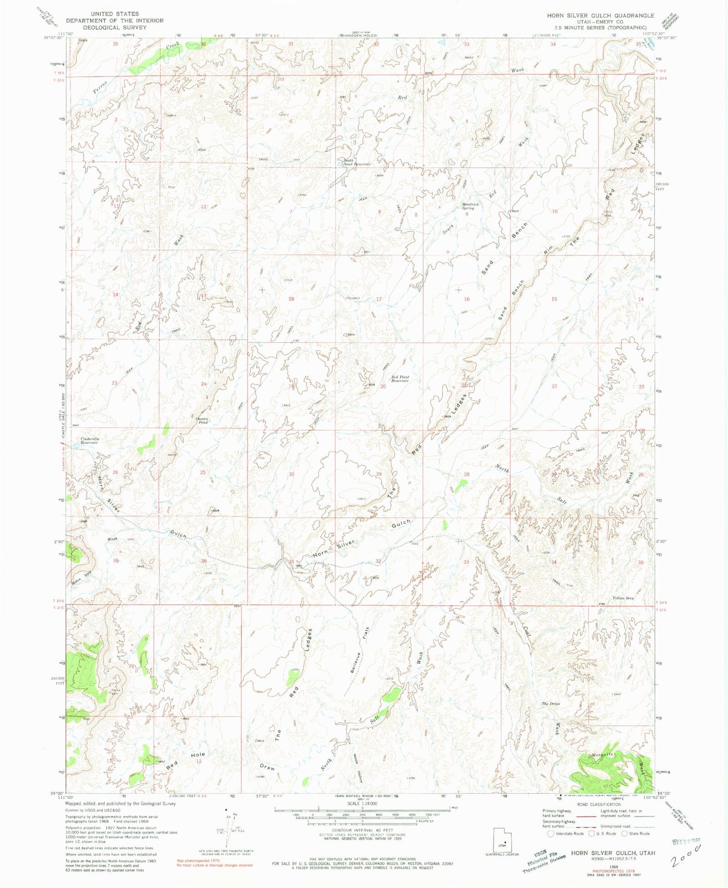
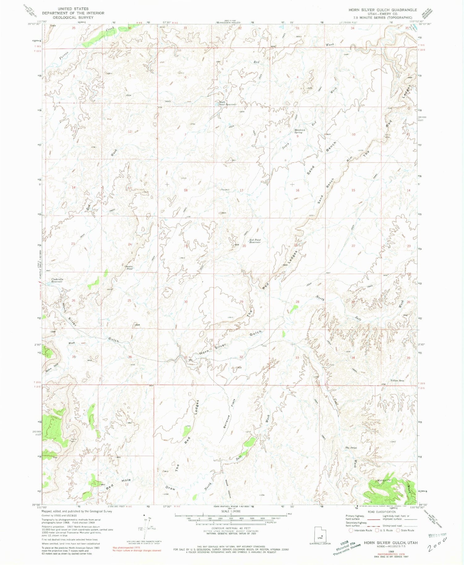
Historical USGS topographic quad map of Horn Silver Gulch in the state of Utah. Map scale may vary for some years, but is generally around 1:24,000. Print size is approximately 24" x 27"
This quadrangle is in the following counties: Emery.
The map contains contour lines, roads, rivers, towns, and lakes. Printed on high-quality waterproof paper with UV fade-resistant inks, and shipped rolled.
Contains the following named places: Bellevue Flats, Cinderella Reservoir, Coal Wash, Hendrick Spring, Horn Silver Gulch, Molen Seep Wash, Oscars Pond, Red Hole Draw, Red Point Reservoir, Red Wash, Sand Bench, Sand Bench Rim, South Red Wash, South Sand Reservoir, The Drips, The Red Ledges, Wood Hollow, Yellow Seep