MyTopo
Classic USGS Hornbeak Tennessee 7.5'x7.5' Topo Map
Couldn't load pickup availability
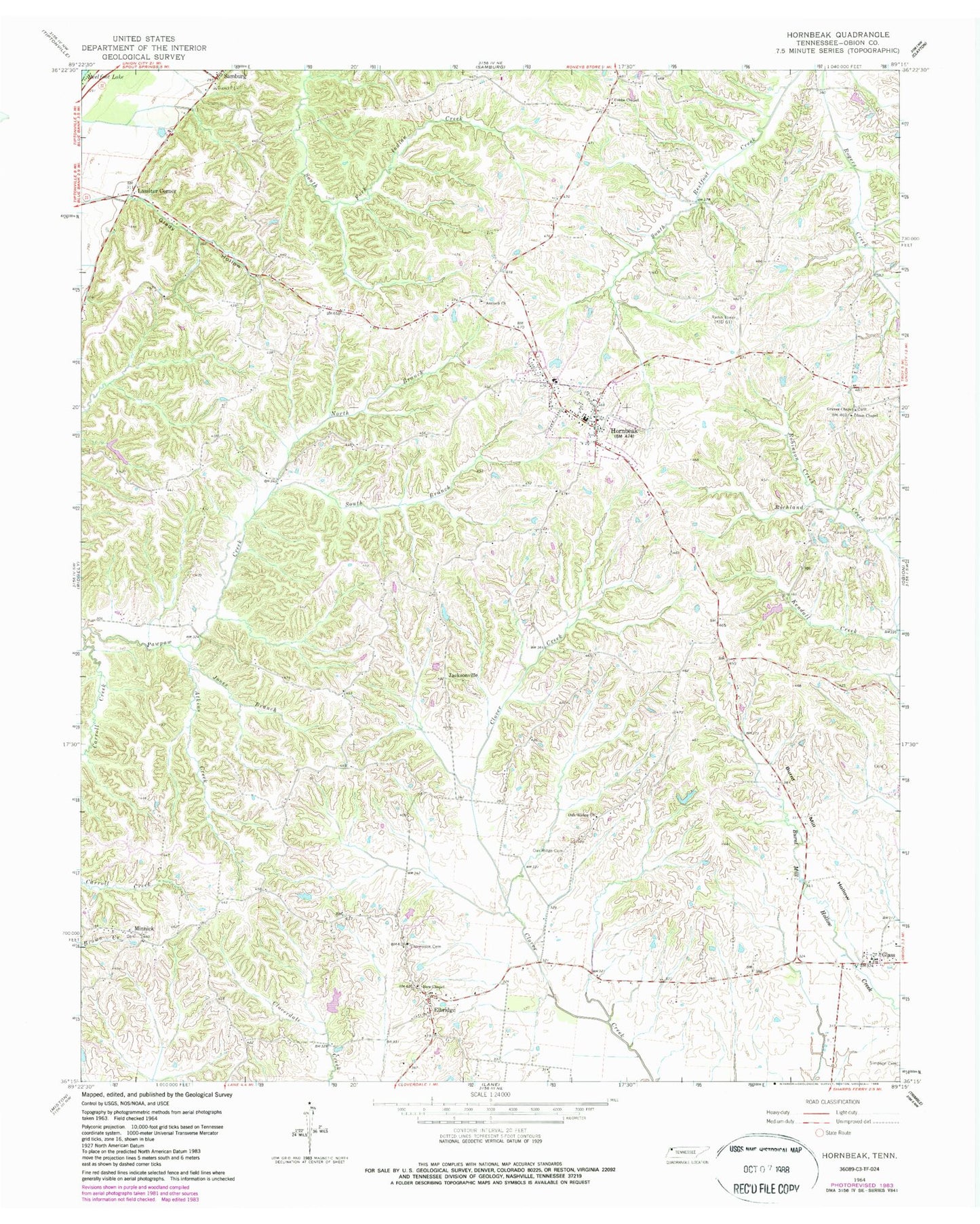
Historical USGS topographic quad map of Hornbeak in the state of Tennessee. Map scale may vary for some years, but is generally around 1:24,000. Print size is approximately 24" x 27"
This quadrangle is in the following counties: Obion.
The map contains contour lines, roads, rivers, towns, and lakes. Printed on high-quality waterproof paper with UV fade-resistant inks, and shipped rolled.
Contains the following named places: Antioch Baptist Cemetery, Antioch Baptist Church, Atkins Creek, Bethel, Bethel Church, Burnt Mill Hollow, Cobbs Chapel, Cobbs Chapel Cemetery, Commissioner District 5, Elbridge, Elbridge Post Office, Elbridge-Cloverdale Division, Glady Hollow, Glady Hollow 41-1 Dam, Glady Hollow 41-1 Lake, Glady School, Glass, Glass Church of Christ, Graves Chapel, Hornbeak, Hornbeak Cemetery, Hornbeak Post Office, Hornbeak School, Hornbeak Volunteer Fire Department, Jacksonville, Jones Branch, Kendall Creek, L E Dellinger Dam, L E Dellinger Lake, Lassiter Corner, Luker Dam, Luker Lake, Minnick, Minnick Cemetery, New Chapel, New Chapel Cemetery, North Branch Pawpaw Creek, Oak Ridge Cemetery, Oak Ridge Church, Oakridge School, Obion Chapel, Obion Chapel Cemetery, Obion Chapel School, Robinson Creek, South Branch Pawpaw Creek, Thompson Cemetery, Town of Hornbeak, Turnage School, ZIP Codes: 38232, 38254