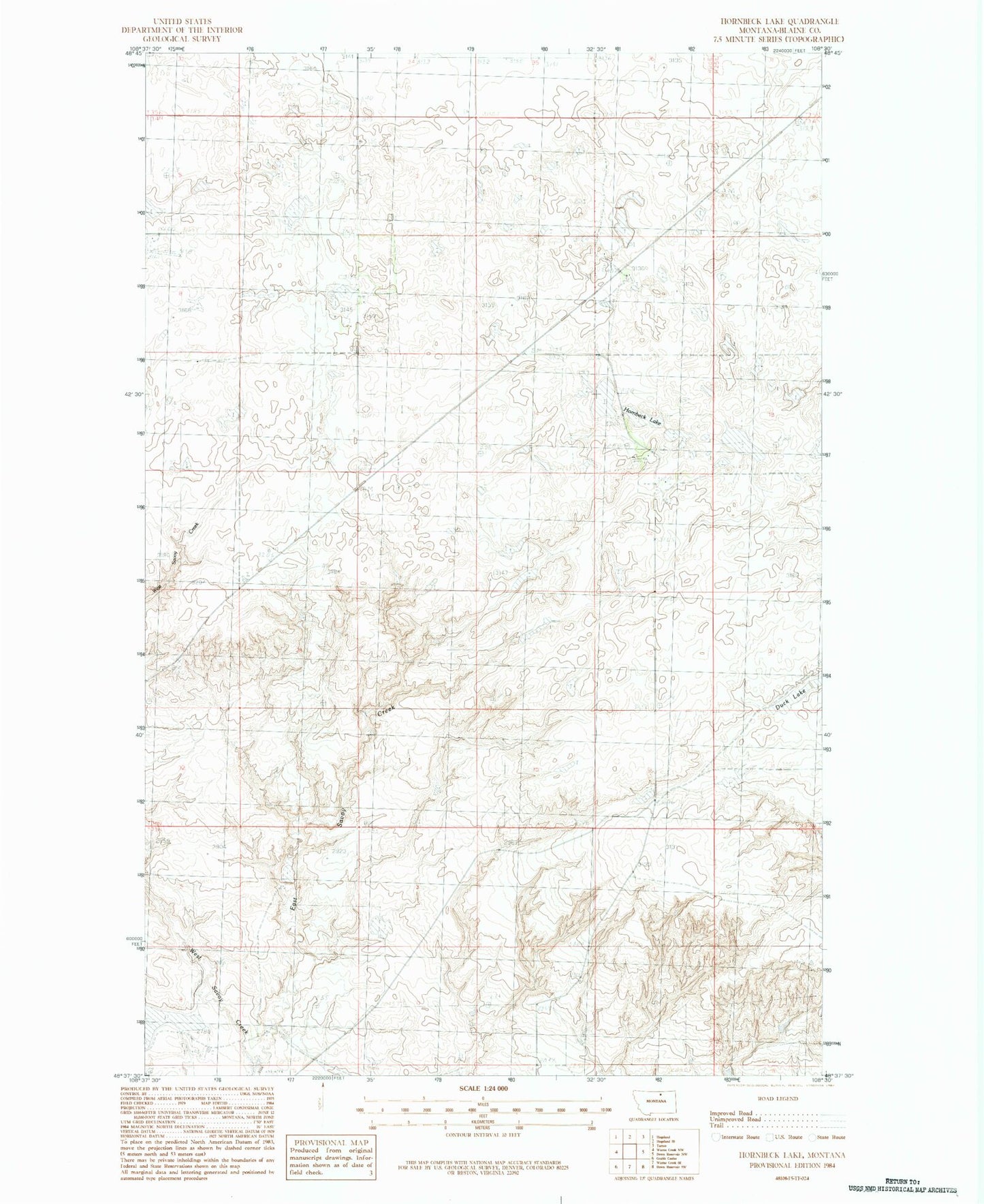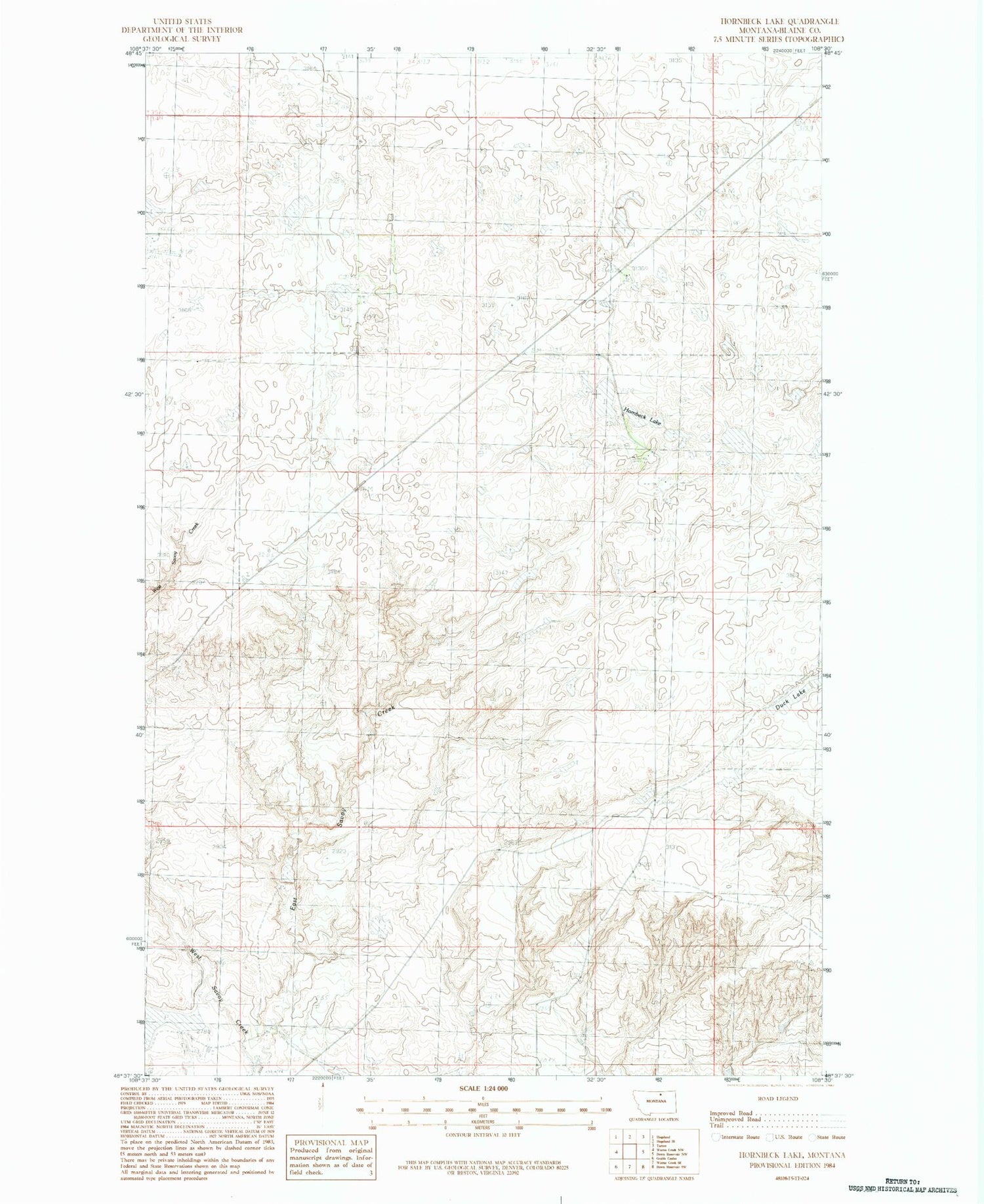
MyTopo
Classic USGS Hornbeck Lake Montana 7.5'x7.5' Topo Map
Regular price
$16.95
Regular price
Sale price
$16.95
Unit price
per
Couldn't load pickup availability
Historical USGS topographic quad map of Hornbeck Lake in the state of Montana. Map scale may vary for some years, but is generally around 1:24,000. Print size is approximately 24" x 27"
This quadrangle is in the following counties: Blaine.
The map contains contour lines, roads, rivers, towns, and lakes. Printed on high-quality waterproof paper with UV fade-resistant inks, and shipped rolled.
Contains the following named places: 34N24E13DCBB01 Well, BR-32 Dam, Cherry Patch School, Duck Lake, East Savoy Creek, Hornbeck Lake, Insanity Dam, Johnson School, Nickols Ranch, Oster Dam, Riggin Landing Field, Riggin School, West Savoy Creek