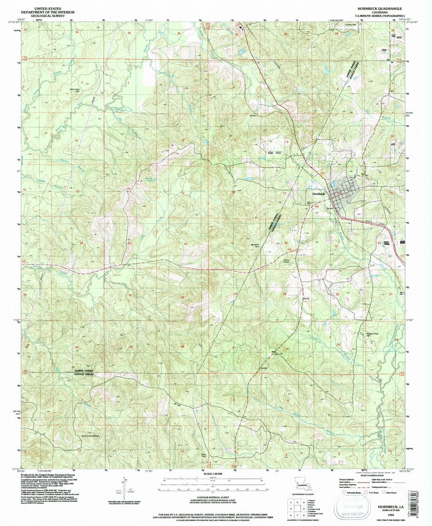
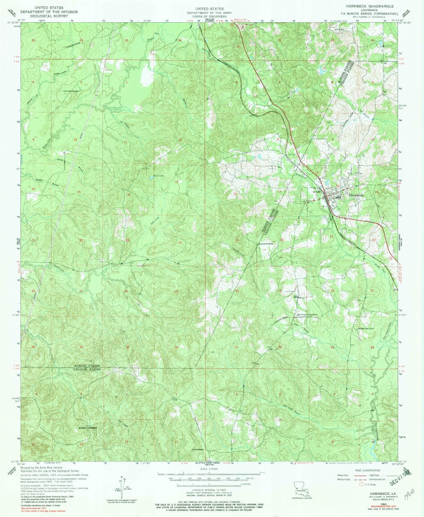
MyTopo
Classic USGS Hornbeck Louisiana 7.5'x7.5' Topo Map
Couldn't load pickup availability
Historical USGS topographic quad map of Hornbeck in the state of Louisiana. Map scale may vary for some years, but is generally around 1:24,000. Print size is approximately 24" x 27"
This quadrangle is in the following counties: Sabine, Vernon.
The map contains contour lines, roads, rivers, towns, and lakes. Printed on high-quality waterproof paper with UV fade-resistant inks, and shipped rolled.
Contains the following named places: Barham, Beckham Cemetery, Big Branch, Big Skinner Creek, Chance Branch, Devils Lake, Elder Branch, Ferris Cemetery, First Baptist Church, Hornbeck, Hornbeck Fire Tower, Hornbeck High School, Hornbeck Lookout Tower, Hornbeck United Methodist Church, Hornbeck Volunteer Fire Department, Lake Creek, Little Sandy Branch, Monks Hammock, Nashes Creek, New Pleasant View Church, Parish Governing Authority District 2, Pleasant View Cemetery, Pleasant View Church, Saint Lukes Cemetery, Saint Lukes Church, Sip Branch, Skinner Creek, Town of Hornbeck, Westbrook Pond Dam, ZIP Code: 71439