MyTopo
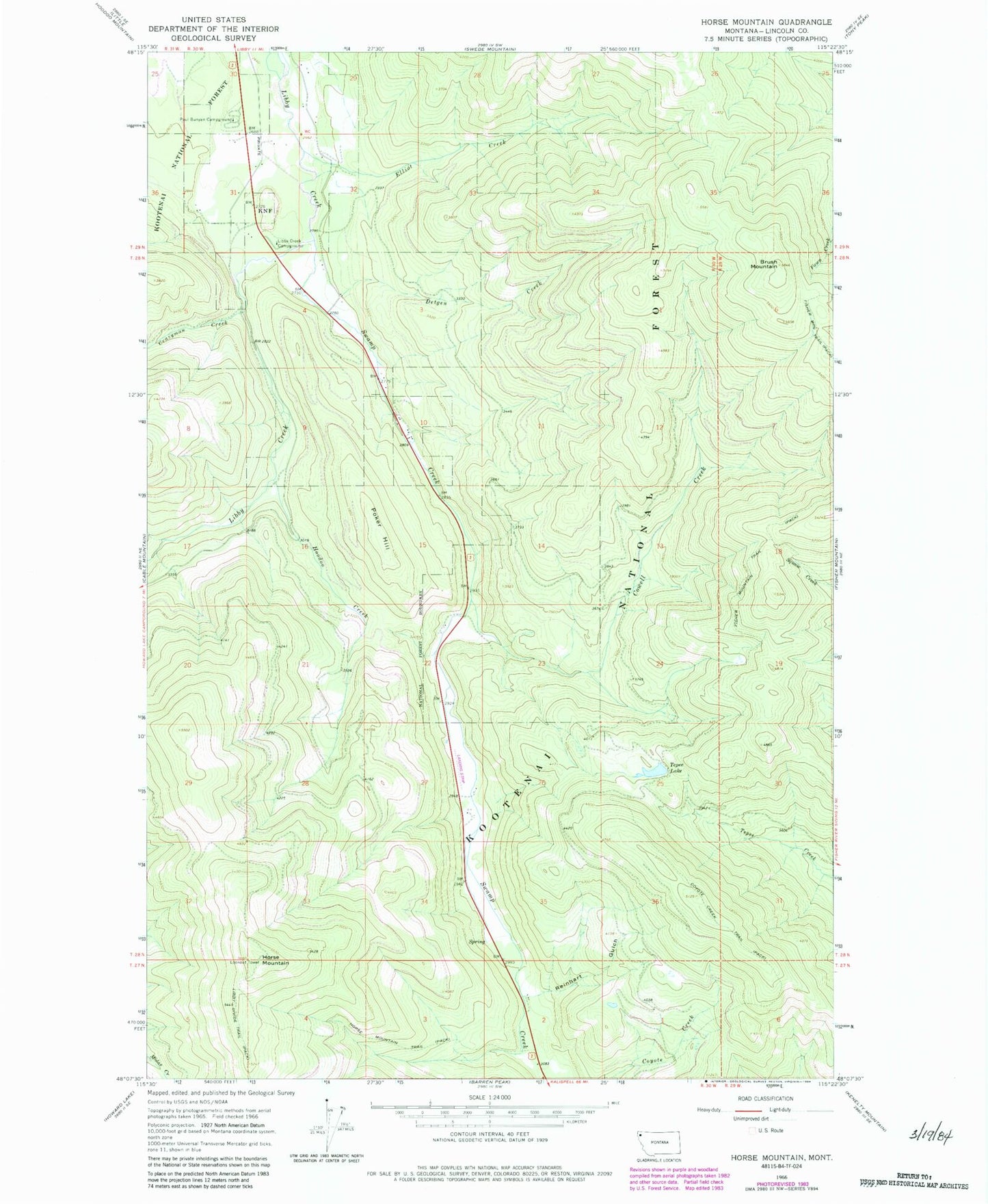
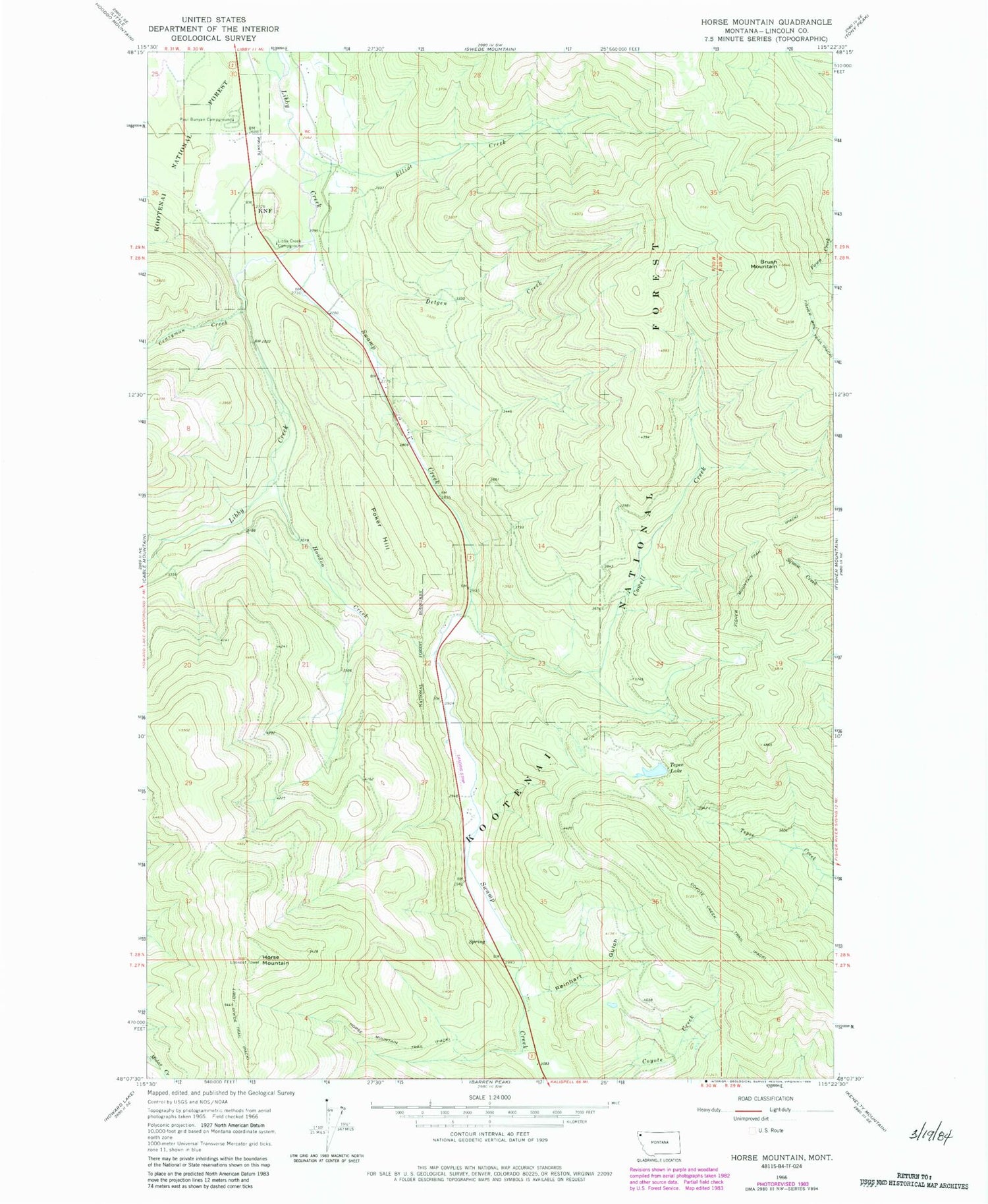
Classic USGS Horse Mountain Montana 7.5'x7.5' Topo Map
Couldn't load pickup availability
Historical USGS topographic quad map of Horse Mountain in the state of Montana. Map scale may vary for some years, but is generally around 1:24,000. Print size is approximately 24" x 27"
This quadrangle is in the following counties: Lincoln.
The map contains contour lines, roads, rivers, towns, and lakes. Printed on high-quality waterproof paper with UV fade-resistant inks, and shipped rolled.
Contains the following named places: 29N30W31ACBA01 Well, 29N30W32BACC01 Well, 29N30W32BDBD01 Well, 59923, Brush Mountain, Cowell Creek, Coyote Creek Trail, Crazyman Creek, Detgen Creek, Elliot Creek, Hoodoo Creek, Horse Mountain, Horse Mountain Trail, Libby Creek Campground, Paul Bunyan Campground, Poker Hill, Reinhart Gulch, Swamp Creek, Tepee Lake