MyTopo
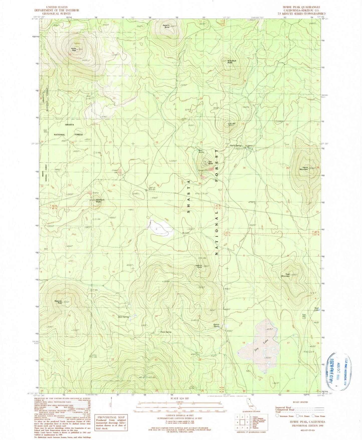
Classic USGS Horse Peak California 7.5'x7.5' Topo Map
Couldn't load pickup availability
Historical USGS topographic quad map of Horse Peak in the state of California. Map scale may vary for some years, but is generally around 1:24,000. Print size is approximately 24" x 27"
This quadrangle is in the following counties: Siskiyou.
The map contains contour lines, roads, rivers, towns, and lakes. Printed on high-quality waterproof paper with UV fade-resistant inks, and shipped rolled.
Contains the following named places: Asperin Butte, Bear Spring, Belnap Spring, Cub Hill, Deter Spring, Dry Lake, Harris Mountain, Harris Spring, Harris Spring Campground, Harris Spring Guard Station, Horse Peak, Kluntuchi Butte, Lookout Point, Lost Iron Well, Masonic Rock, McCloud-Medicine Lake Division, Nine Buck Butte, Oso Butte, Point Spring, Toad Lake, Toad Mountain, Toad Well