MyTopo
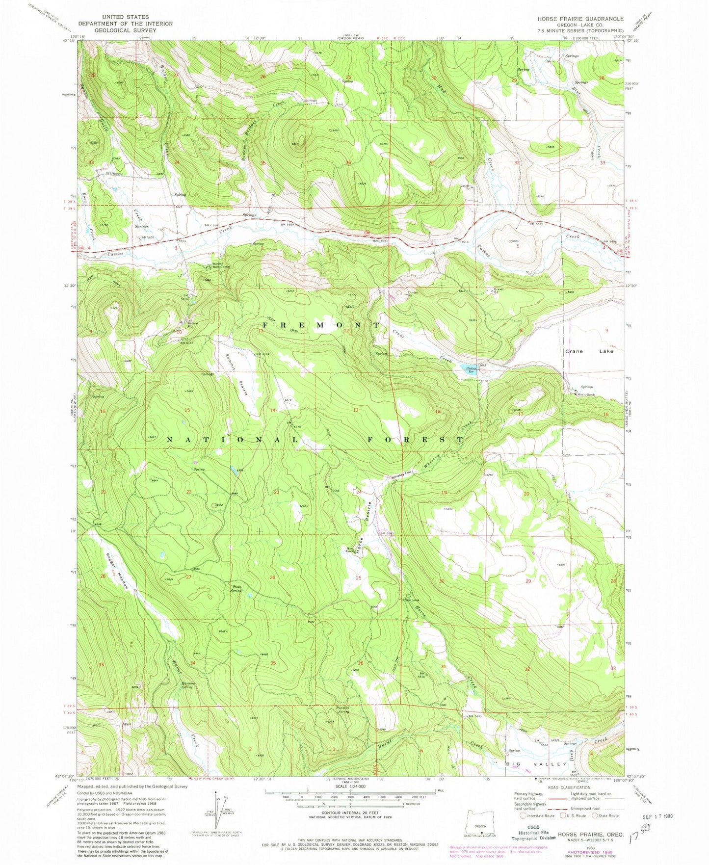
Classic USGS Horse Prairie Oregon 7.5'x7.5' Topo Map
Couldn't load pickup availability
Historical USGS topographic quad map of Horse Prairie in the state of Oregon. Map scale may vary for some years, but is generally around 1:24,000. Print size is approximately 24" x 27"
This quadrangle is in the following counties: Lake.
The map contains contour lines, roads, rivers, towns, and lakes. Printed on high-quality waterproof paper with UV fade-resistant inks, and shipped rolled.
Contains the following named places: Big Valley, Bowers Bridges Creek, Crane Lake, Harmon Spring, Hickey Dam, Hickey Ranch, Hickey Reservoir, Horse Creek, Horse Prairie, Moss Ranch, Mud Creek, Parallel Spring, Rogger Meadow, Rogger Meadow Trailhead, Rosa Creek, Squaw Butte Creek, Summit Prairie, Twin Spring, Twin Spring Recreation Site, Walker Creek, Warner Work Center, Whiskey Creek, Whiskey Flat