

MyTopo
Classic USGS Horse Ridge Utah 7.5'x7.5' Topo Map
Couldn't load pickup availability
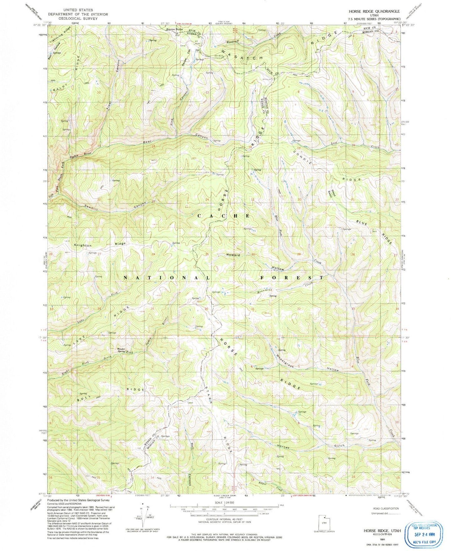
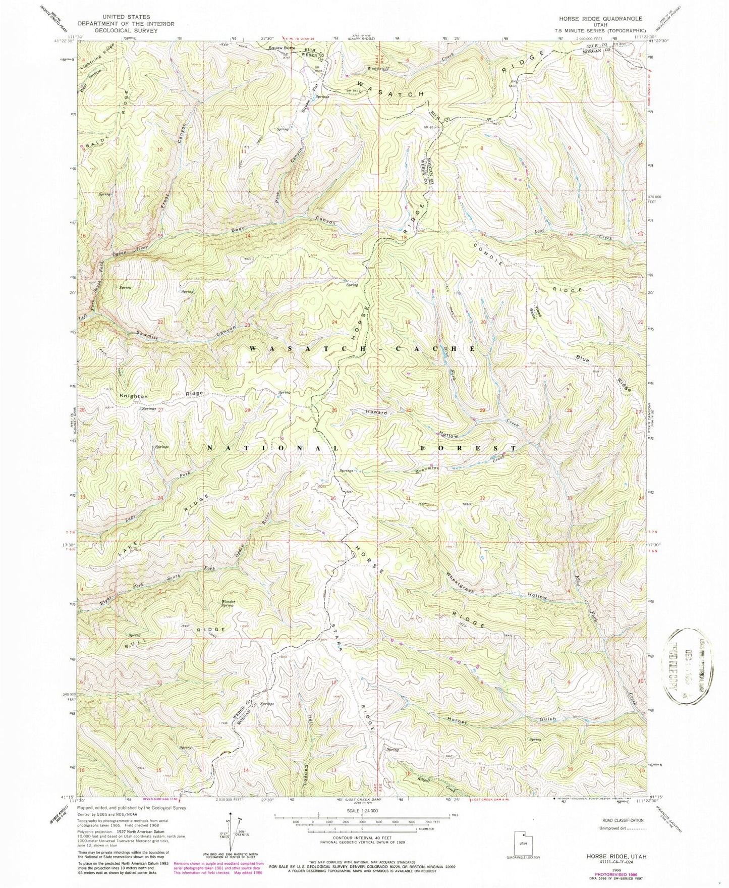
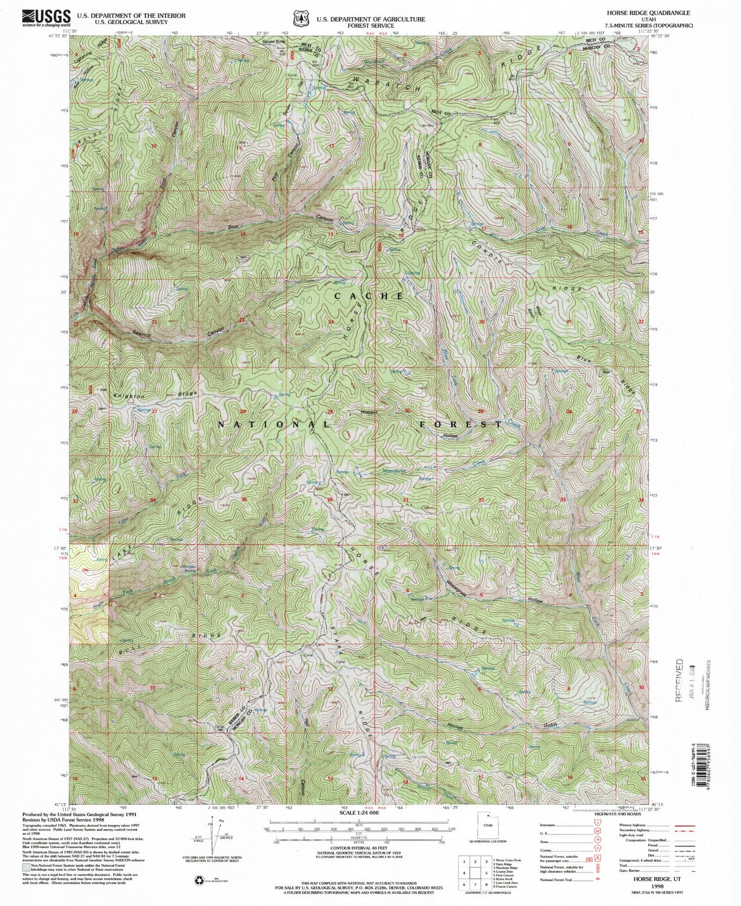
Historical USGS topographic quad map of Horse Ridge in the state of Utah. Map scale may vary for some years, but is generally around 1:24,000. Print size is approximately 24" x 27"
This quadrangle is in the following counties: Morgan, Rich, Weber.
The map contains contour lines, roads, rivers, towns, and lakes. Printed on high-quality waterproof paper with UV fade-resistant inks, and shipped rolled.
Contains the following named places: Baldy Ridge, Bear Canyon, Blue Ridge, Bull Ridge, Condie Ridge, Frost Canyon, Hornet Gulch, Horse Ridge, Howard Hollow, Knighton Ridge, Lake Ridge, Monument Creek, Pine Canyon, Sawmill Canyon, Squaw Butte, Squaw Flat, Stark Ridge, Wasatch Ridge, Weed Basin, Wheatgrass Hollow, Wonder Spring