MyTopo
Classic USGS Horse Trap Mesa Arizona 7.5'x7.5' Topo Map
Couldn't load pickup availability
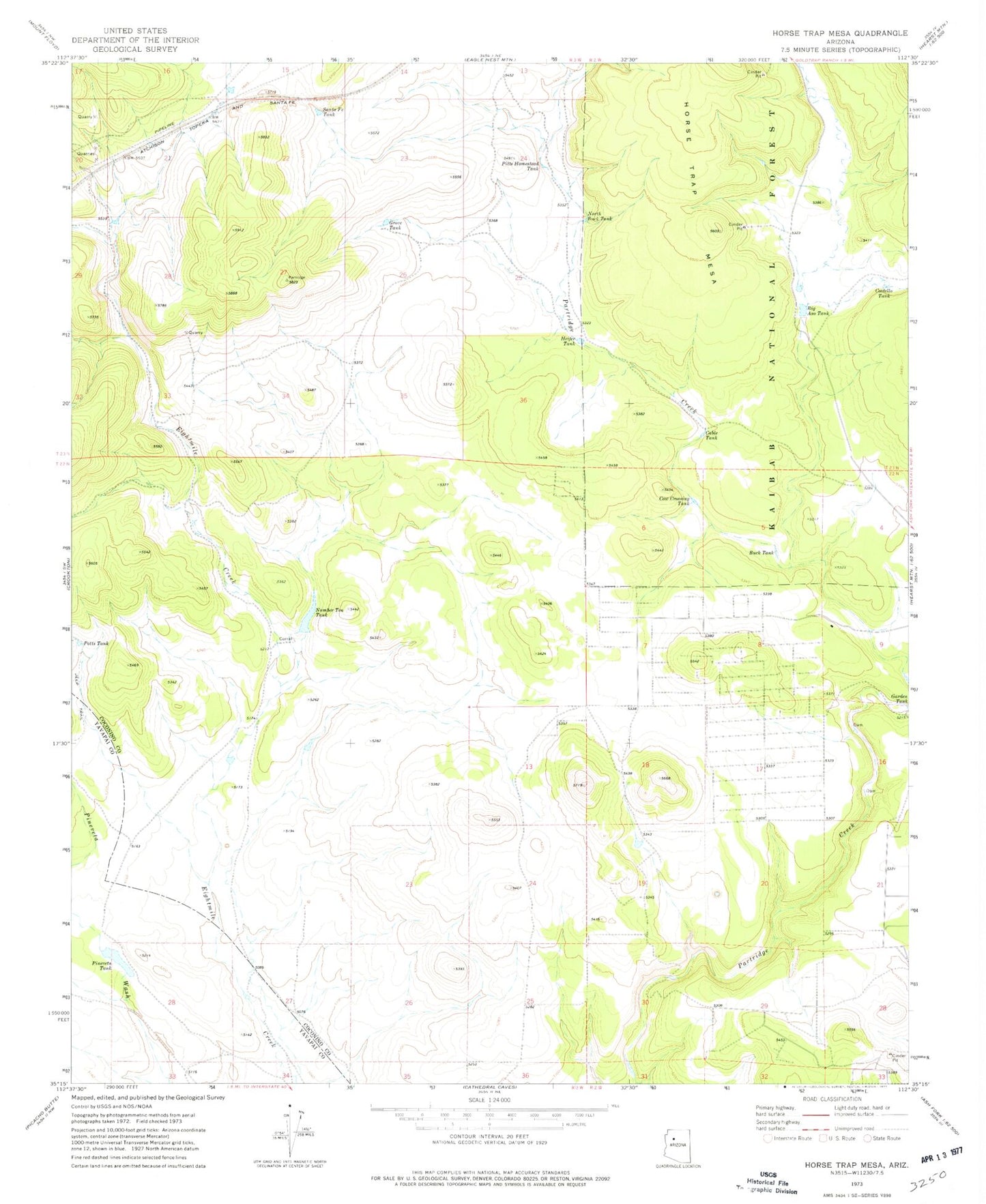
Historical USGS topographic quad map of Horse Trap Mesa in the state of Arizona. Map scale may vary for some years, but is generally around 1:24,000. Print size is approximately 24" x 27"
This quadrangle is in the following counties: Coconino, Yavapai.
The map contains contour lines, roads, rivers, towns, and lakes. Printed on high-quality waterproof paper with UV fade-resistant inks, and shipped rolled.
Contains the following named places: Big Aso Tank, Buck Tank, Cable Tank, Costello Tank, Cow Crossing Tank, Dry Wash, Feed Trough Tank, Grove Tank, Heifer Tank, Horse Trap Mesa, Jane Tank, Kaibab Estates West Census Designated Place, North Buck Tank, Number Ten Tank, Pineveta Tank, Pitts Homestead Tank, Potts Tank, Salt River Tank, Santa Fe Tank