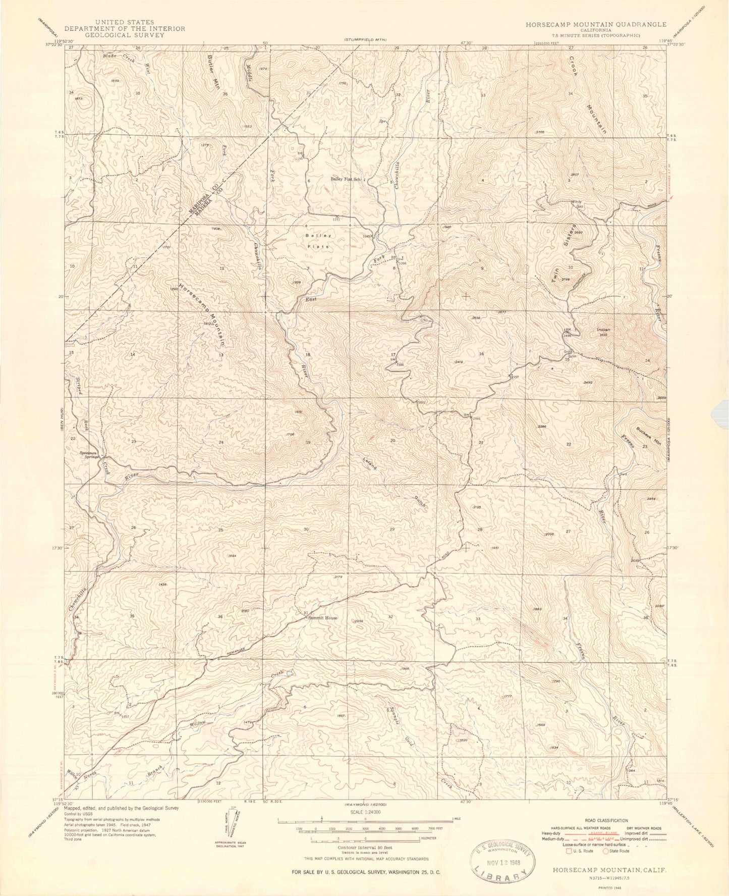
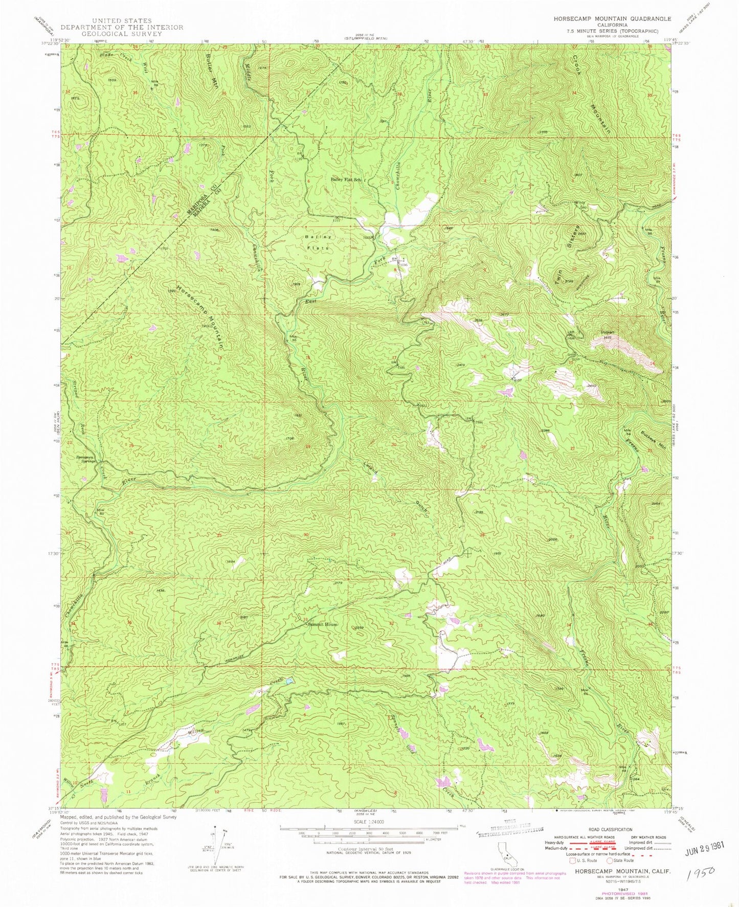
MyTopo
Classic USGS Horsecamp Mountain California 7.5'x7.5' Topo Map
Couldn't load pickup availability
Historical USGS topographic quad map of Horsecamp Mountain in the state of California. Map scale may vary for some years, but is generally around 1:24,000. Print size is approximately 24" x 27"
This quadrangle is in the following counties: Madera, Mariposa.
The map contains contour lines, roads, rivers, towns, and lakes. Printed on high-quality waterproof paper with UV fade-resistant inks, and shipped rolled.
Contains the following named places: Bailey Flat School, Bailey Flats, Blade Creek, Crooks Mountain, East Fork Chowchilla River, Grub Gulch, Grupe Ranch Airport, Horsecamp Mountain, Indian Hill, Leland Gulch, Middle Fork Chowchilla River, North Branch Willow Creek, Specimen Springs, Striped Rock Creek, Summit House, Twin Sisters, West Fork Chowchilla River, Windy Gap