MyTopo
Classic USGS Horseshoe Basin Washington 7.5'x7.5' Topo Map
Couldn't load pickup availability
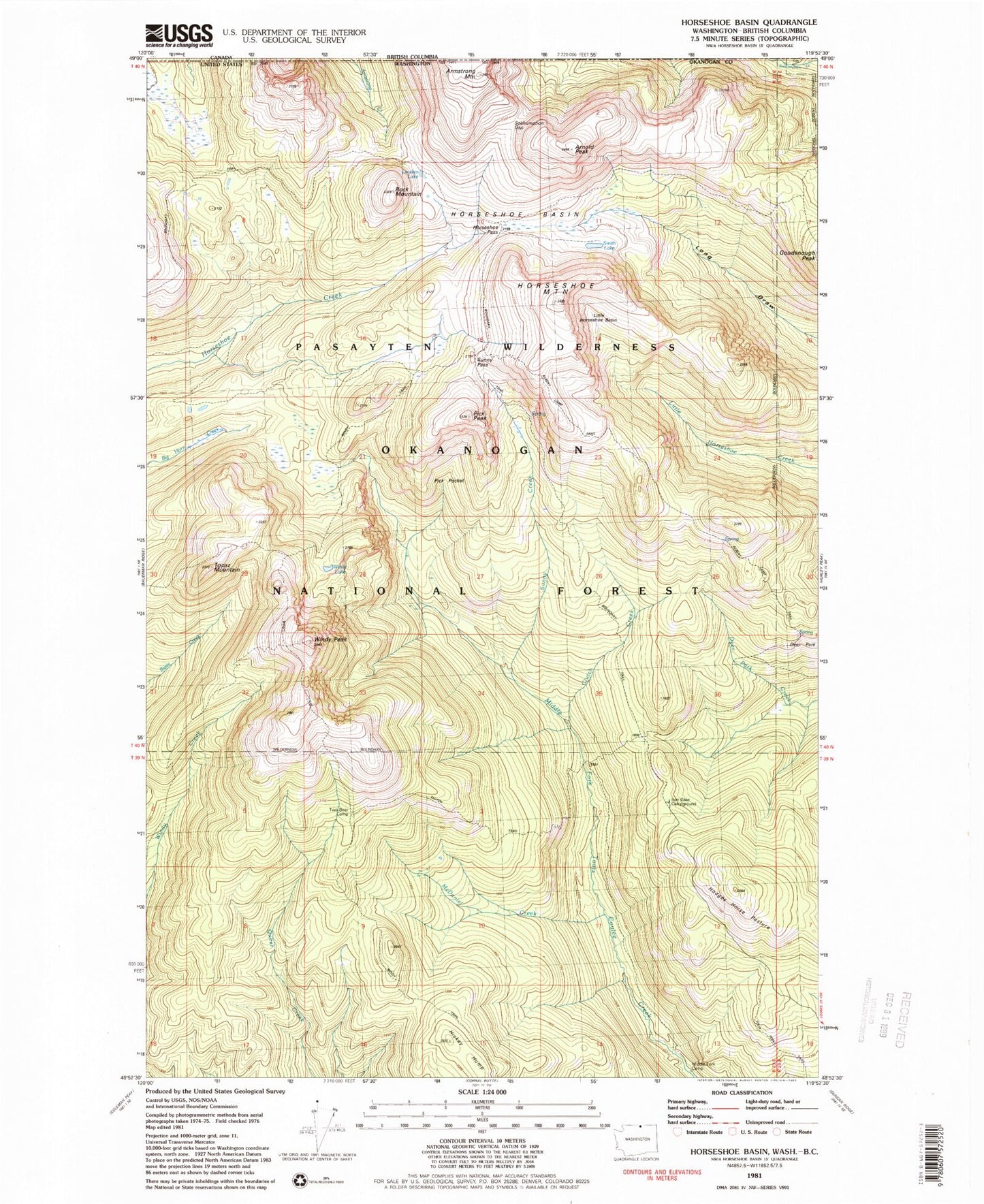
Historical USGS topographic quad map of Horseshoe Basin in the state of Washington. Typical map scale is 1:24,000, but may vary for certain years, if available. Print size: 24" x 27"
This quadrangle is in the following counties: Okanogan.
The map contains contour lines, roads, rivers, towns, and lakes. Printed on high-quality waterproof paper with UV fade-resistant inks, and shipped rolled.
Contains the following named places: Albert Camp, Albert Camp Trail, Arnold Peak, Sunny Creek, Clutch Trail, Cougar Camp, Coyote Camp, Deer Park, Deer Park Trail, Goodenough Peak, Hickey Hump, Hodges Horse Pasture, Horsehoe Basin, Horseshoe Mountain, Horseshoe Pass, Lone Wolf Camp, Long Draw Trail, Louden Lake, Midway Camp, Pick Peak, Pick Pocket, Rock Mountain, Smith Lake, Sunny Camp, Topaz Mountain, Windy Peak, Windy Trail, Four Point Trail, Iron Gate Campground, Clutch Creek