MyTopo
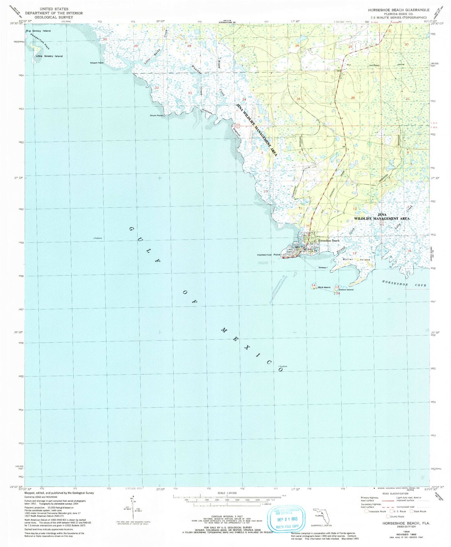
Classic USGS Horseshoe Beach Florida 7.5'x7.5' Topo Map
Couldn't load pickup availability
Historical USGS topographic quad map of Horseshoe Beach in the state of Florida. Map scale may vary for some years, but is generally around 1:24,000. Print size is approximately 24" x 27"
This quadrangle is in the following counties: Dixie.
The map contains contour lines, roads, rivers, towns, and lakes. Printed on high-quality waterproof paper with UV fade-resistant inks, and shipped rolled.
Contains the following named places: Bird Island, Boggy Creek, Butler Island, Cotton Island, Cross City South Division, Dixie County Fire and Rescue Station 61, Drum Point, Grassy Island, Horseshoe Beach, Horseshoe Beach Post Office, Horseshoe Point, Landing Field, Little Grassy Island, Little Rocky Creek, Lolly Creek, Pumpkin Swamp, Stuart Point, Town of Horseshoe Beach, Tripod Creek, Whackup Creek