
MyTopo
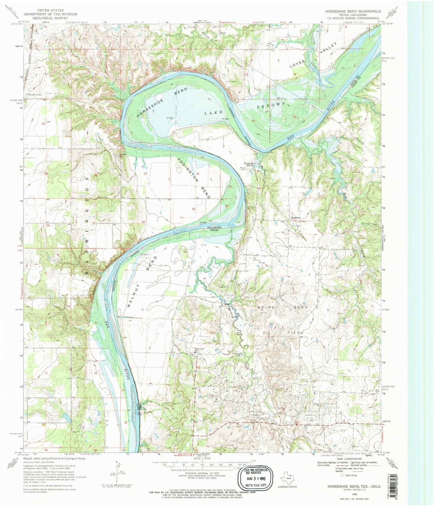
Classic USGS Horseshoe Bend Texas 7.5'x7.5' Topo Map
Couldn't load pickup availability
Historical USGS topographic quad map of Horseshoe Bend in the states of Texas, Oklahoma. Map scale may vary for some years, but is generally around 1:24,000. Print size is approximately 24" x 27"
This quadrangle is in the following counties: Cooke, Love.
The map contains contour lines, roads, rivers, towns, and lakes. Printed on high-quality waterproof paper with UV fade-resistant inks, and shipped rolled.
Contains the following named places: Addington Bend, Black Cemetery, Callisburg Division, Coesfield, Corcoran Creek, Decherds Cemetery, Dripping Spring, Hibbit Church, Hickory Creek, Horseshoe Bend, Horseshoe Bend Recreation Area, Love Valley Wildlife Managment Area, Rock Creek, Sycamore Creek, Tuttle Branch, Walnut Bend, Walnut Bend Elementary School, Walnut Bend Oil Field, Walnut Bend School


