MyTopo
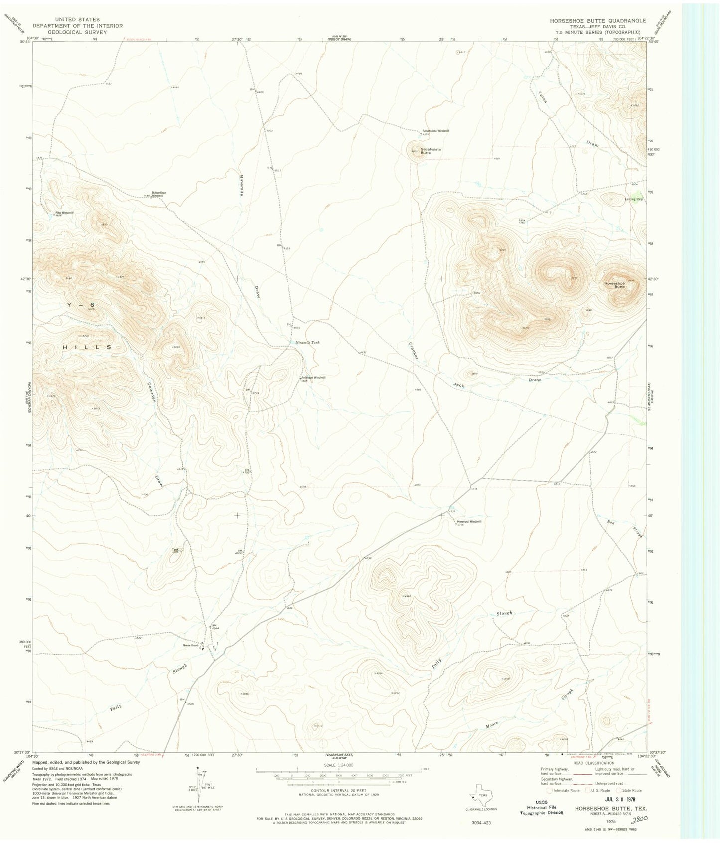
Classic USGS Horseshoe Butte Texas 7.5'x7.5' Topo Map
Regular price
$16.95
Regular price
Sale price
$16.95
Unit price
per
Couldn't load pickup availability
Historical USGS topographic quad map of Horseshoe Butte in the state of Texas. Map scale may vary for some years, but is generally around 1:24,000. Print size is approximately 24" x 27"
This quadrangle is in the following counties: Jeff Davis.
The map contains contour lines, roads, rivers, towns, and lakes. Printed on high-quality waterproof paper with UV fade-resistant inks, and shipped rolled.
Contains the following named places: Antelope Windmill, Butterfield Windmill, Cracker Jack Draw, Dowman Draw, Hereford Windmill, Horseshoe Butte, Means Ranch, Ninemile Tank, Red Slough, Rito Windmill, Sacahuista Butte, Sacahuista Windmill, Valentine Division, Yates Draw