MyTopo
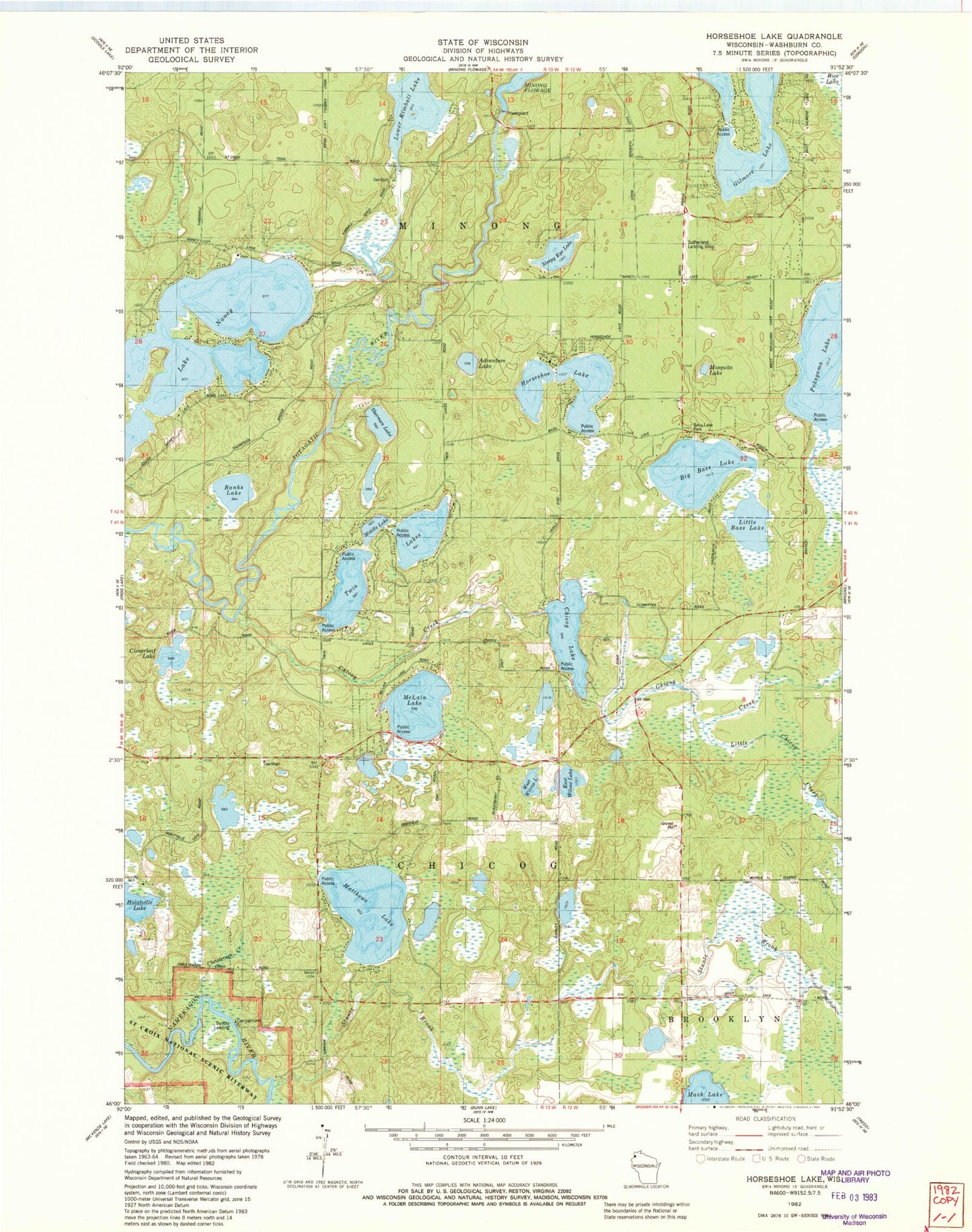
Classic USGS Horseshoe Lake Wisconsin 7.5'x7.5' Topo Map
Couldn't load pickup availability
Historical USGS topographic quad map of Horseshoe Lake in the state of Wisconsin. Map scale may vary for some years, but is generally around 1:24,000. Print size is approximately 24" x 27"
This quadrangle is in the following counties: Washburn.
The map contains contour lines, roads, rivers, towns, and lakes. Printed on high-quality waterproof paper with UV fade-resistant inks, and shipped rolled.
Contains the following named places: Adventure Lake, Banks Lake, Ben Sutherland Airport, Big Bass Lake, Bughouse Lake, Byrkits Landing, Chicog Cemetery, Chicog Creek, Chicog Lake, Chicog Townhall, Chicog Volunteer Fire Department, Cloverleaf Lake, East Wilcox Lake, Gilmore Lake, Hoinville Lake, Horseshoe Lake, Lake Nancy, Little Bass Lake, Little Chicog Creek, Lower Kimball Lake, Lower Kimball Lake 6, Lower Kimball Lake Dam, Mack Lake, Matthews Lake, McLain Lake, Middle Lake, Minong Area Ambulance Service, Minong Flowage, Minong Flowage 2WP252 Dam, Minong Flowage 320, Minong Police Department, Minong Volunteer Fire Department, Mosquito Lake, North Twin Lake, Sherman Lake, Sleepy Eye Lake, South Twin Lake, Town of Chicog, Town of Minong, Twin Lakes, West Wilcox Lake, Wilcox Lake


