MyTopo
Classic USGS Horsethief Canyon Utah 7.5'x7.5' Topo Map
Regular price
$16.95
Regular price
Sale price
$16.95
Unit price
per
Couldn't load pickup availability
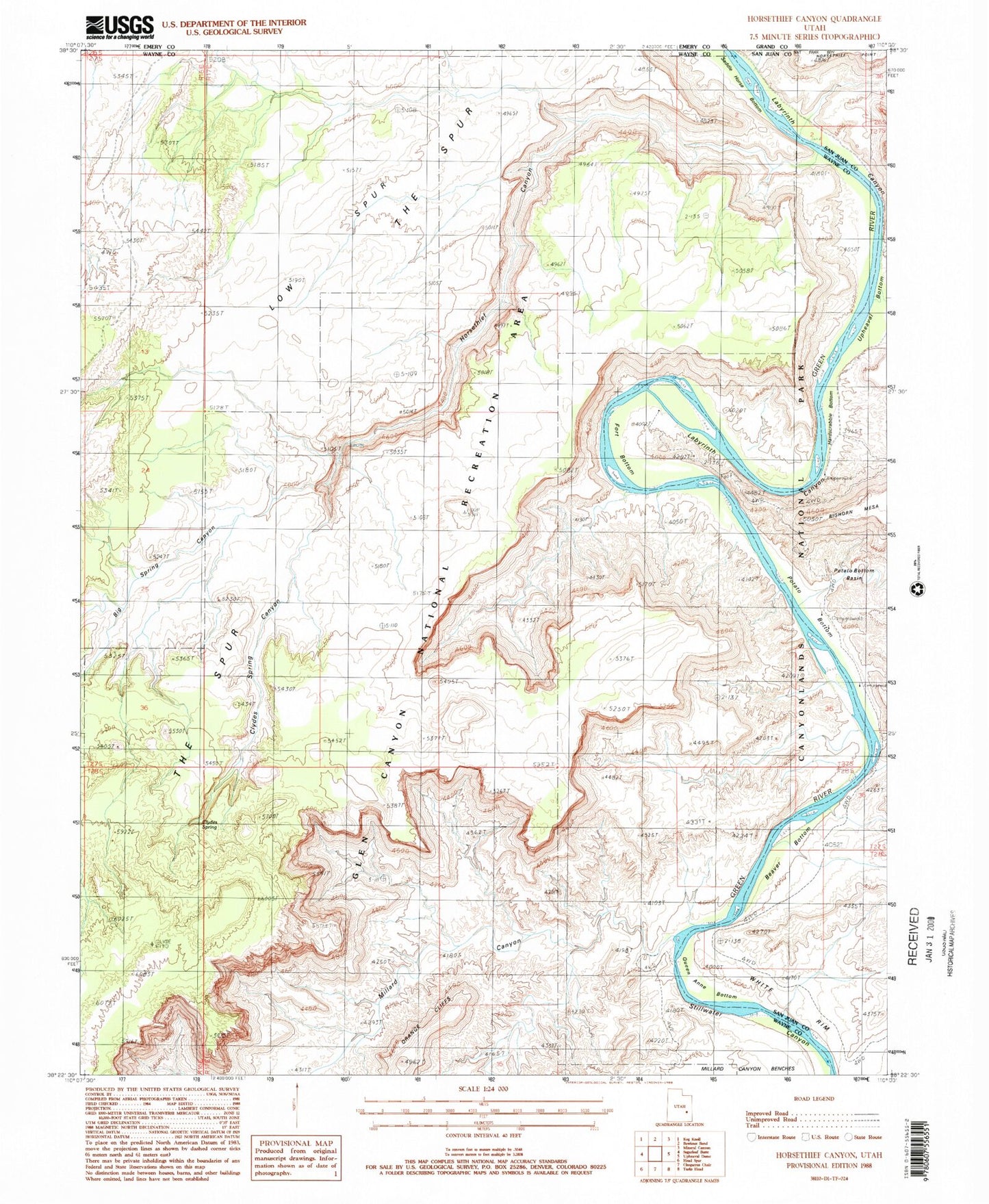
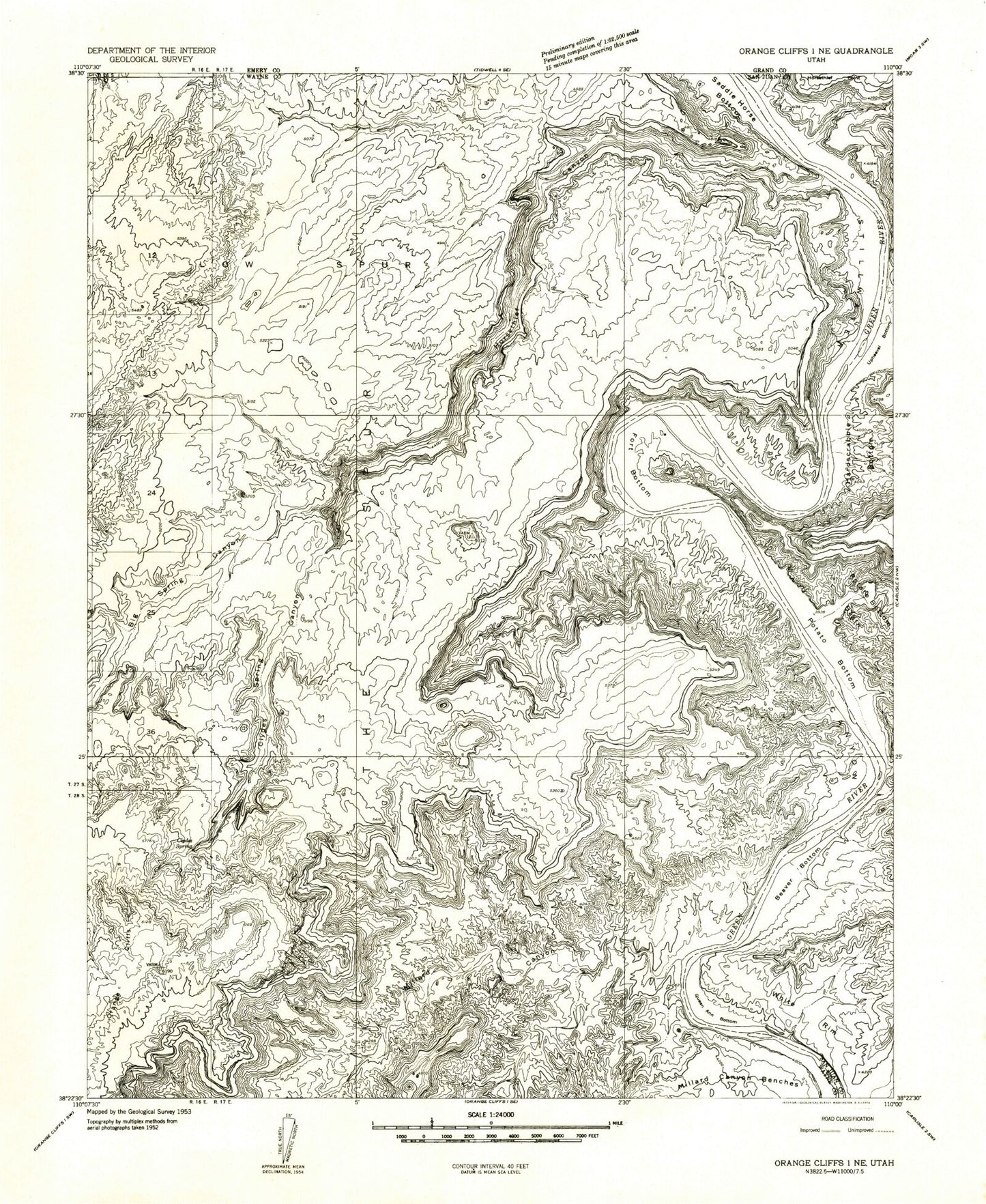
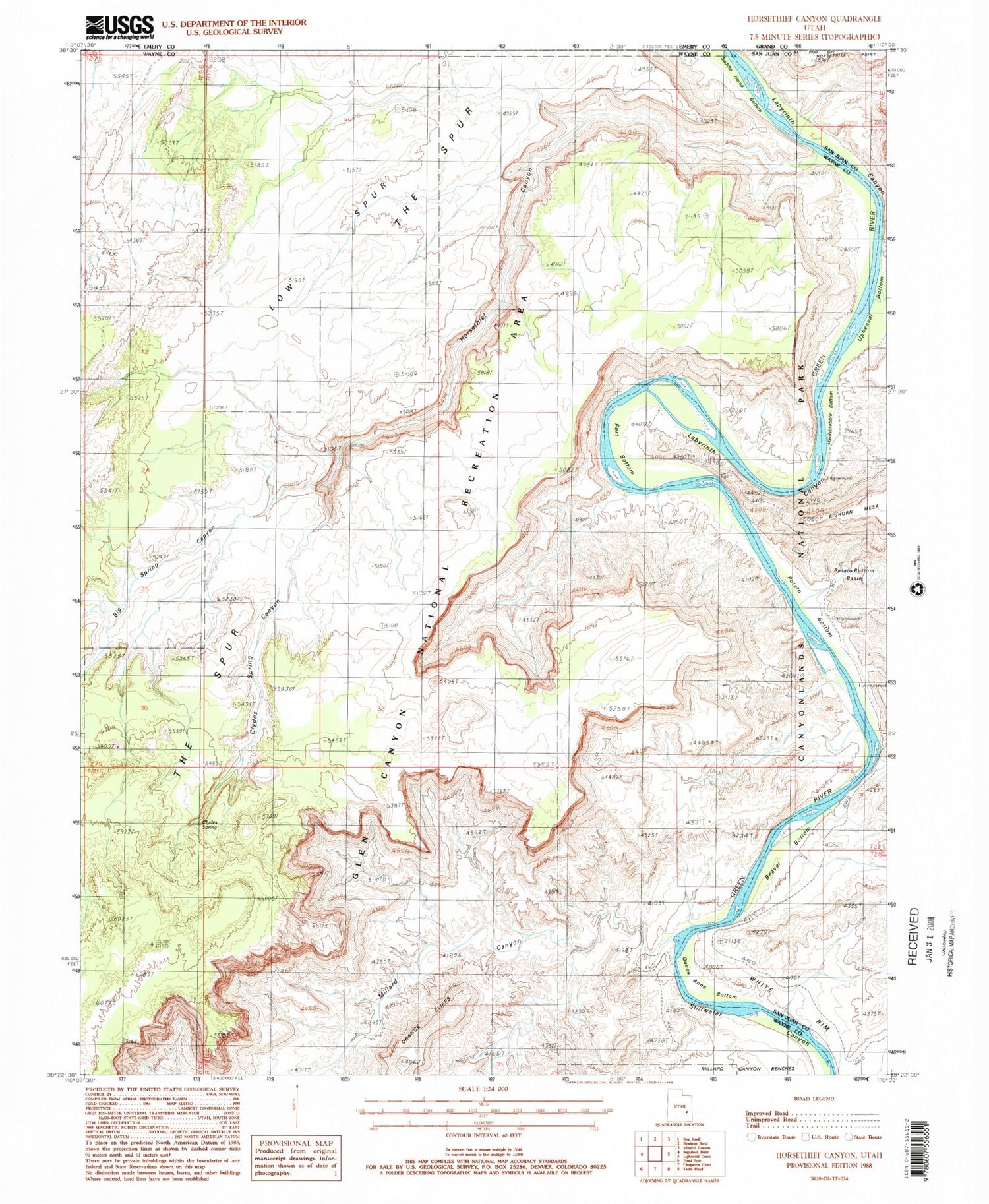
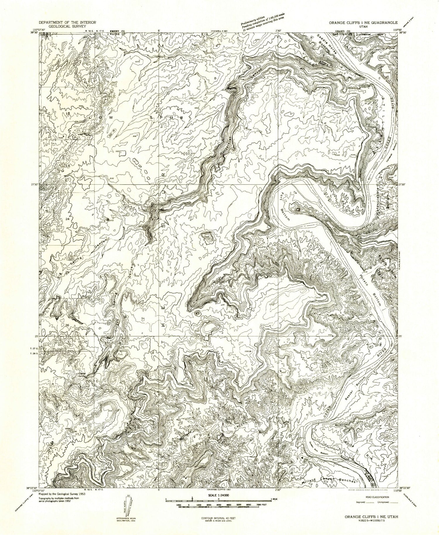
Historical USGS topographic quad map of Horsethief Canyon in the state of Utah. Typical map scale is 1:24,000, but may vary for certain years, if available. Print size: 24" x 27"
This quadrangle is in the following counties: Emery, Grand, San Juan, Wayne.
The map contains contour lines, roads, rivers, towns, and lakes. Printed on high-quality waterproof paper with UV fade-resistant inks, and shipped rolled.
Contains the following named places: Beaver Bottom, Big Spring Canyon, Clydes Spring, Clydes Spring Canyon, Fort Bottom, Hardscrabble Bottom, Horsethief Canyon, Labyrinth Canyon, Low Spur, Millard Canyon, Potato Bottom, Queen Ann Bottom, Saddle Horse Bottom, Outlaw Cabin