MyTopo
Classic USGS Horsethief Creek Montana 7.5'x7.5' Topo Map
Regular price
$16.95
Regular price
Sale price
$16.95
Unit price
per
Couldn't load pickup availability
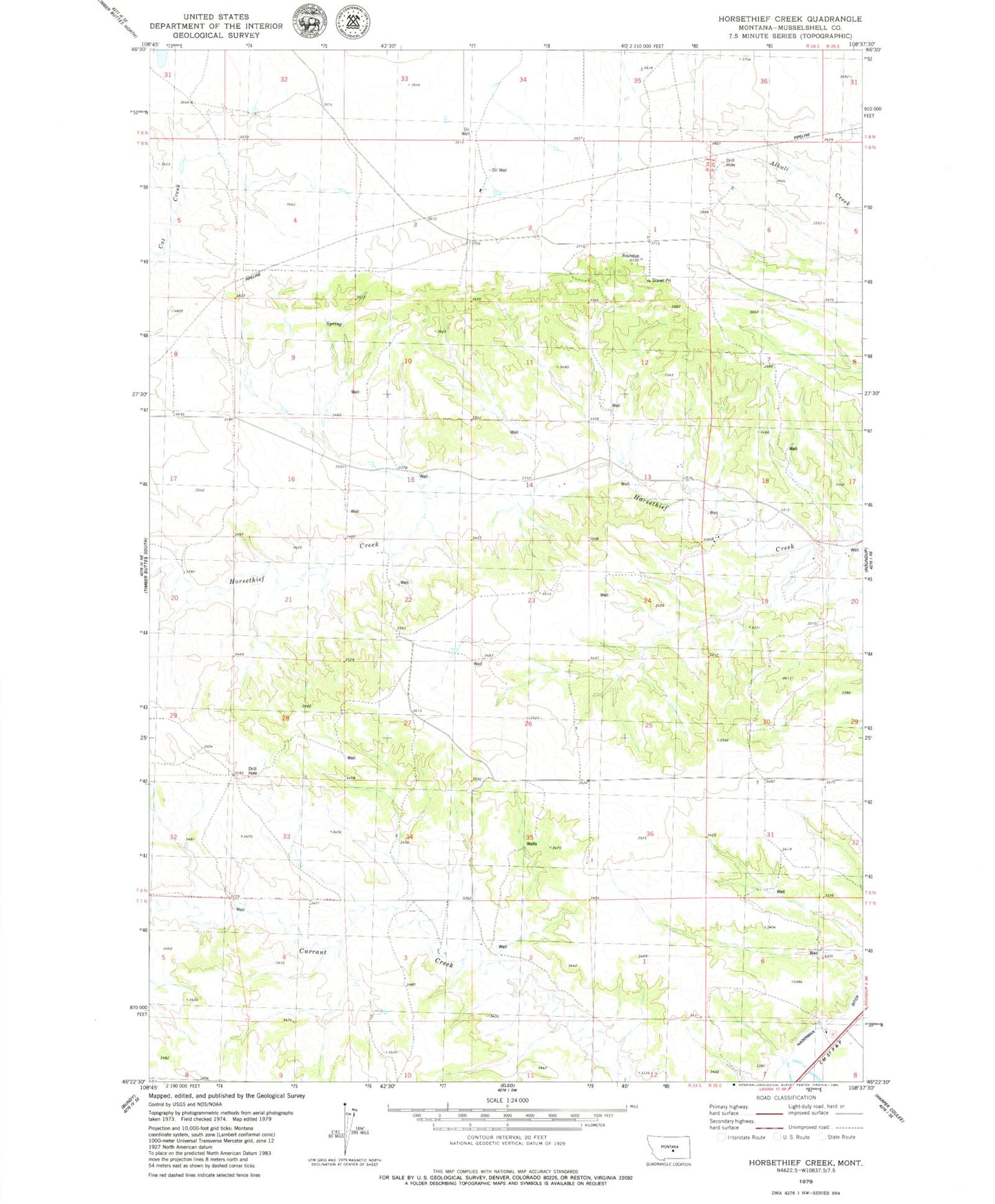
Historical USGS topographic quad map of Horsethief Creek in the state of Montana. Map scale may vary for some years, but is generally around 1:24,000. Print size is approximately 24" x 27"
This quadrangle is in the following counties: Musselshell.
The map contains contour lines, roads, rivers, towns, and lakes. Printed on high-quality waterproof paper with UV fade-resistant inks, and shipped rolled.
Contains the following named places: 07N24E02BCDA01 Well, 07N24E04BBBC01 Well, 07N25E06ADDD01 Well, 08N24E02C___01 Well, 08N24E15ACCC01 Well, 08N24E15CCBB01 Well, 08N24E17ADD_01 Well, 08N24E17ADDB01 Well, 08N24E20ACBA01 Well, 08N24E33BB__01 Well, 08N25E06BBAD01 Well, 08N25E20BBAD01 Well, Naderman Ditch