MyTopo
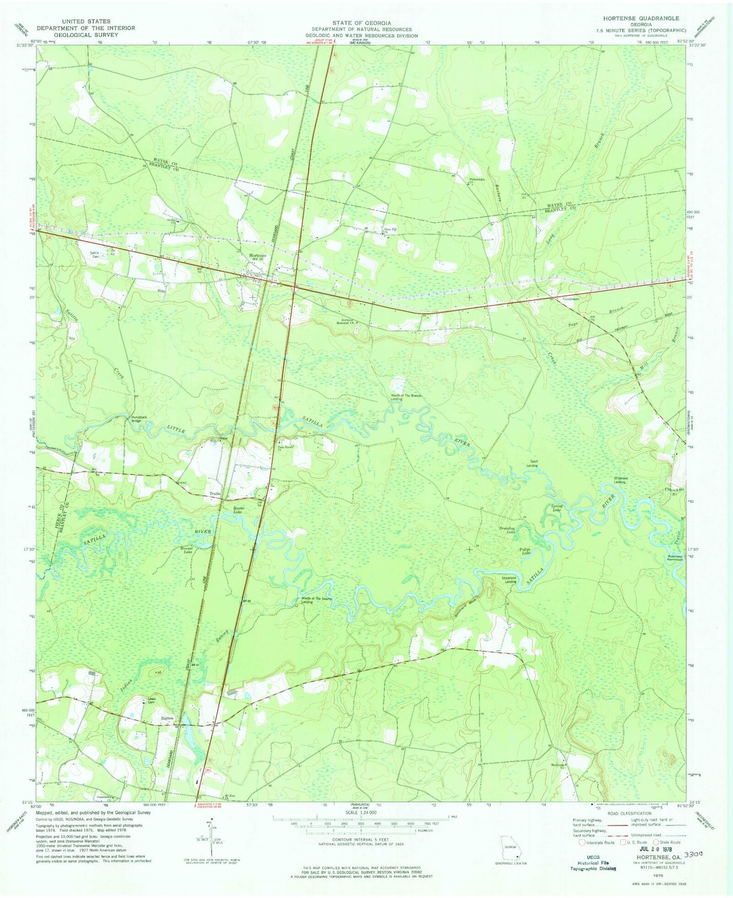
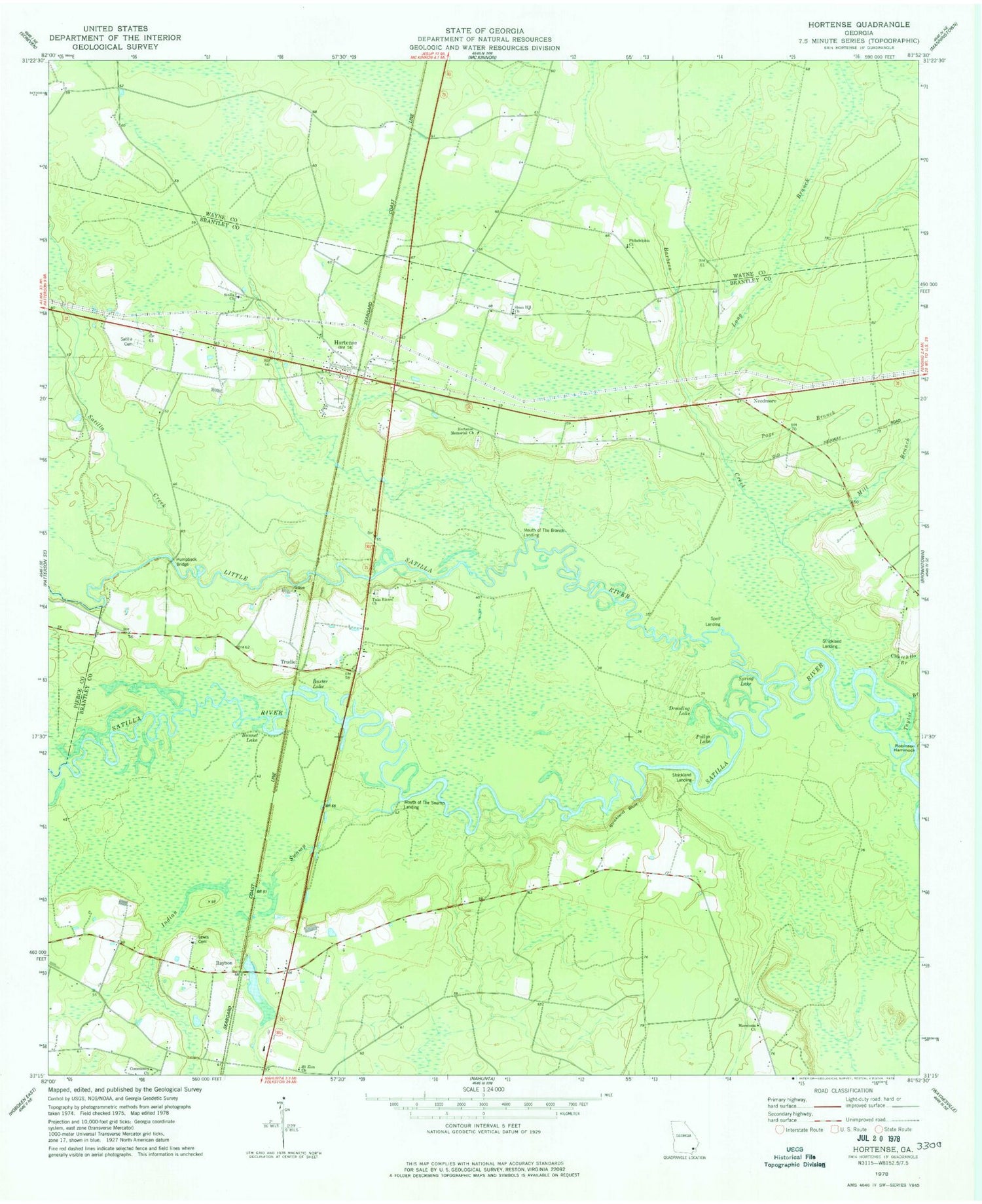
Classic USGS Hortense Georgia 7.5'x7.5' Topo Map
Couldn't load pickup availability
Historical USGS topographic quad map of Hortense in the state of Georgia. Typical map scale is 1:24,000, but may vary for certain years, if available. Print size: 24" x 27"
This quadrangle is in the following counties: Brantley, Pierce, Wayne.
The map contains contour lines, roads, rivers, towns, and lakes. Printed on high-quality waterproof paper with UV fade-resistant inks, and shipped rolled.
Contains the following named places: Barbers Creek, Baxter Lake, Bonnet Lake, Church House Branch, Dreading Lake, Hortense Memorial Church, Humpback Bridge, Indian Swamp, Lewis Cemetery, Long Branch, Macedonia Church, Mill Branch, Mount Zion Church, Page Branch, Philadelphia Church, Pollys Lake, Satilla Cemetery, Satilla Creek, Sloan Hill Church, Spring Lake, Strickland Bluff, Taylor Branch, Twin Rivers Church, Needmore, Raybon, Hortense, Mouth of the Branch Landing, Mouth of the Swamp Landing, Spell Landing, Strickland Landing, Strickland Landing, Trudie, Manson (historical), Menor School (historical), Robinson Hammock Bluff, Rosin Landing, Strickland School (historical), Baxter Cemetery, Community Church, Hortense Church, Raybon Church, Tabernacle Camp Ground, Strickland Lake Dam, Strickland Lake, Baxter Bluff, Five Points Reach, Maple Suck, Stricklands Reach, Philadelphia School (historical), Hortense Post Office, Hortense Volunteer Fire Department Station 1, Little Satilla River, Hortense Census Designated Place


