MyTopo
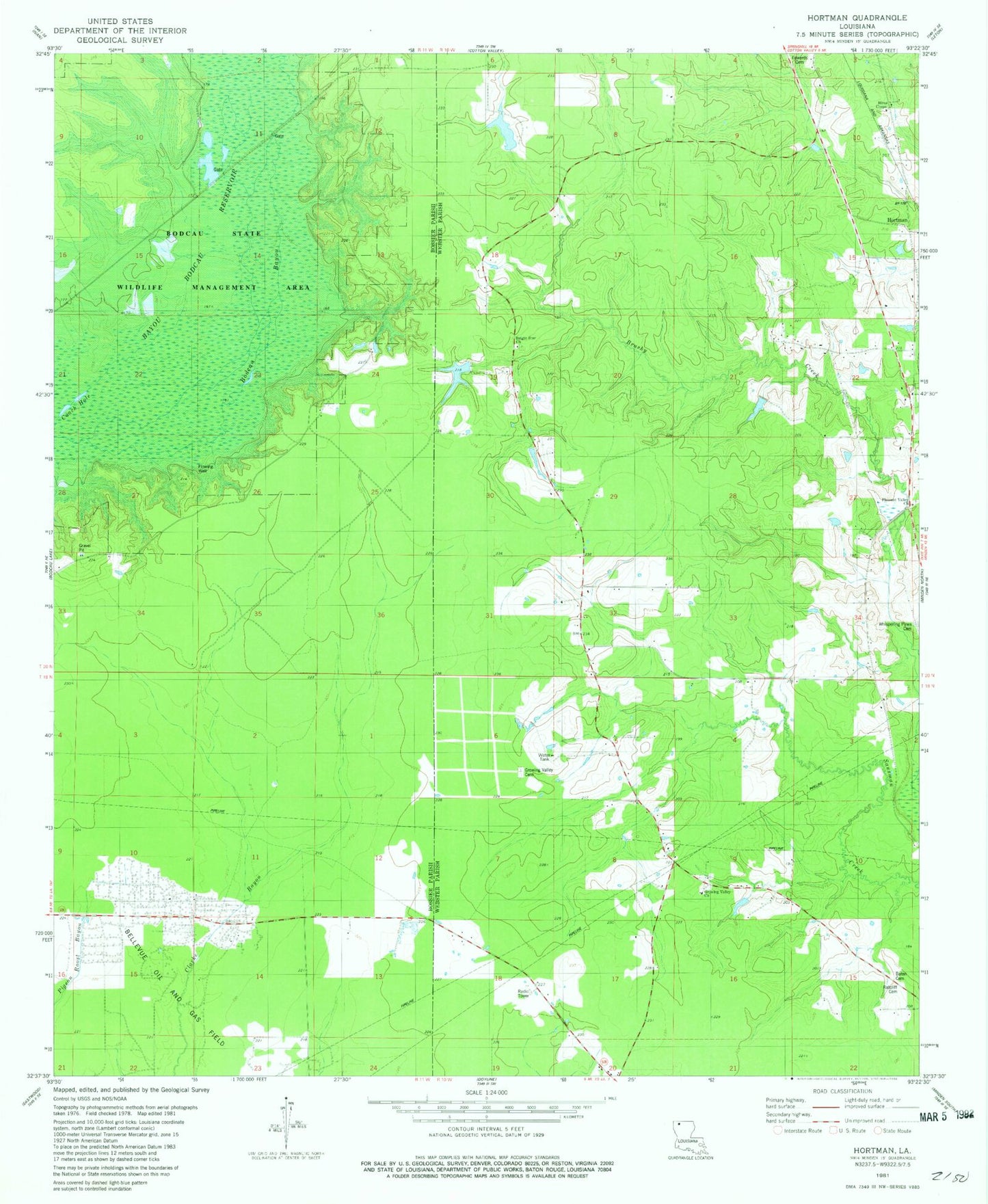
Classic USGS Hortman Louisiana 7.5'x7.5' Topo Map
Couldn't load pickup availability
Historical USGS topographic quad map of Hortman in the state of Louisiana. Map scale may vary for some years, but is generally around 1:24,000. Print size is approximately 24" x 27"
This quadrangle is in the following counties: Bossier, Webster.
The map contains contour lines, roads, rivers, towns, and lakes. Printed on high-quality waterproof paper with UV fade-resistant inks, and shipped rolled.
Contains the following named places: Ambrose School, Baten Cemetery, Bayou Bodcau Reservoir, Bellevue Oil and Gas Field, Bright Star School, Brushy Creek School, Edwards Cemetery, Growing Valley Cemetery, Growing Valley Church, Growing Valley School, H G Hayes Pond Dam, Hires Chapel, Hortman, Hortmans Store, Parish Governing Authority District 5, Pleasant Hill Church, Pleasant Valley Cemetery, Pleasant Valley United Methodist Church, Ratcliff Cemetery, Whispering Pines Cemetery