MyTopo
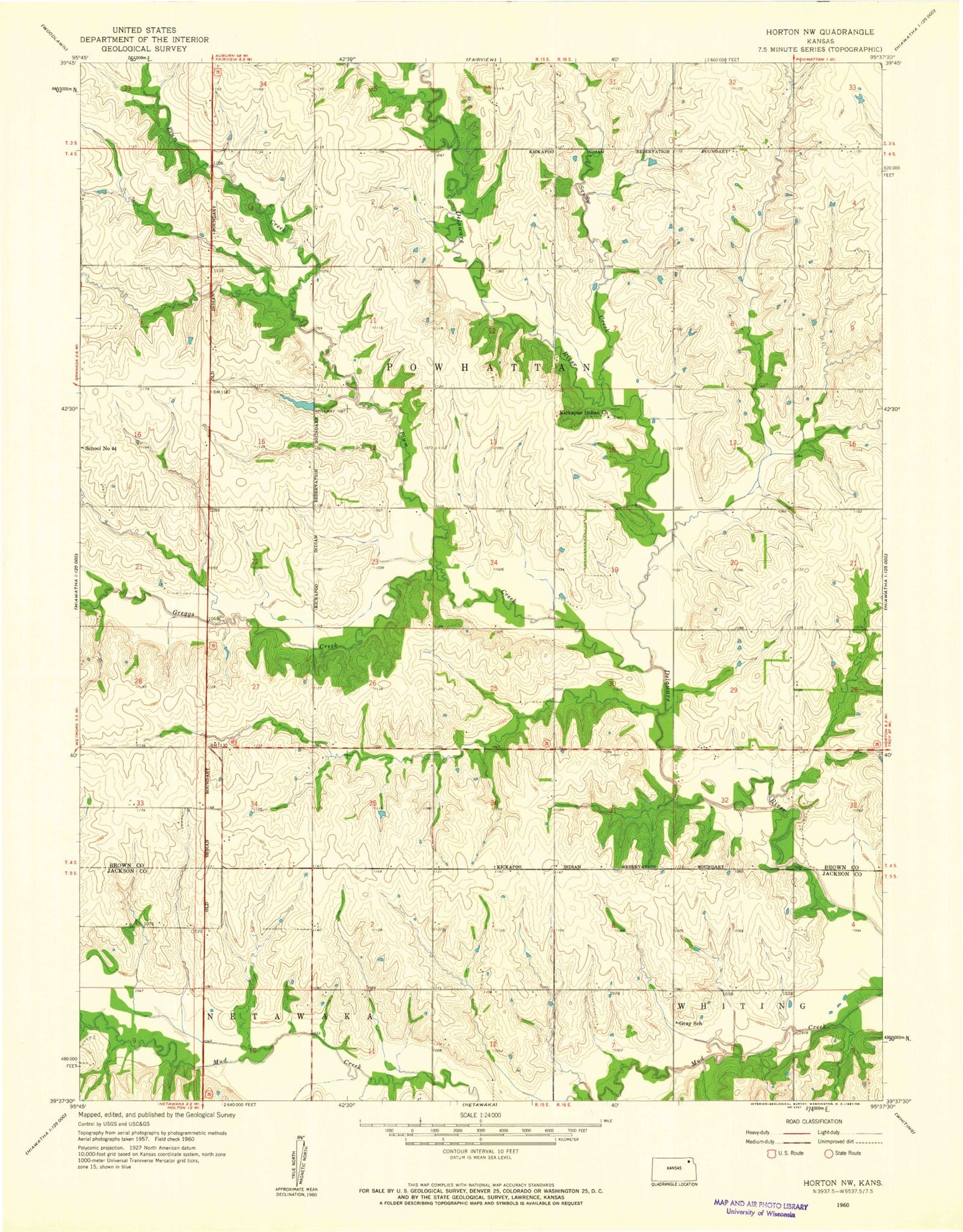
Classic USGS Horton NW Kansas 7.5'x7.5' Topo Map
Couldn't load pickup availability
Historical USGS topographic quad map of Horton NW in the state of Kansas. Map scale may vary for some years, but is generally around 1:24,000. Print size is approximately 24" x 27"
This quadrangle is in the following counties: Brown, Jackson.
The map contains contour lines, roads, rivers, towns, and lakes. Printed on high-quality waterproof paper with UV fade-resistant inks, and shipped rolled.
Contains the following named places: Craig Creek, Gray School, Kickapoo Fire Department, Kickapoo Indian Church, Kickapoo Reservation/Sac and Fox Nation Trust Land Joint-Use Area, Kickapoo Site 1 Census Designated Place, Kickapoo Site 2 Census Designated Place, Kickapoo Site 5 Census Designated Place, Kickapoo Site 6 Census Designated Place, Kickapoo Site 7 Census Designated Place, Kickapoo Tribal Center Census Designated Place, Kickapoo Tribal Police Department, Kickapoo Tribe Wastewater Treatment Facility, Squaw Creek, Township of Powhattan, ZIP Codes: 66516, 66527