MyTopo
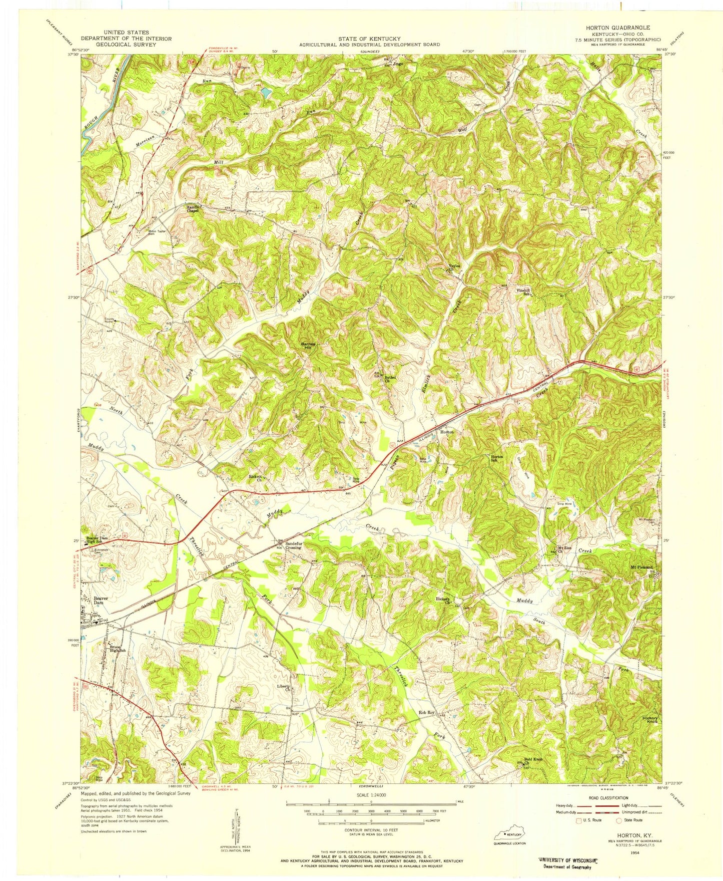
Classic USGS Horton Kentucky 7.5'x7.5' Topo Map
Couldn't load pickup availability
Historical USGS topographic quad map of Horton in the state of Kentucky. Map scale may vary for some years, but is generally around 1:24,000. Print size is approximately 24" x 27"
This quadrangle is in the following counties: Ohio.
The map contains contour lines, roads, rivers, towns, and lakes. Printed on high-quality waterproof paper with UV fade-resistant inks, and shipped rolled.
Contains the following named places: Bald Knob Church, Barnes Hill, Bethel Church, City of Beaver Dam, Elmlick Creek, Hamlin Chapel, Hartford Division, Hickory Church, Horton, Jingo, Liberty Church, Longview Church, Mill Creek, Milton Taylor Cemetery, Morrison Run, Mount Pleasant, Mount Pleasant Cemetery, Mount Zion Church, Ohio County, Ohio County Airport, Pigeon Creek, Rob Roy, Sandefur Crossing, South Fork Muddy Creek, Sunnyside Cemetery, Threelick Fork, Voyles Cemetery