MyTopo
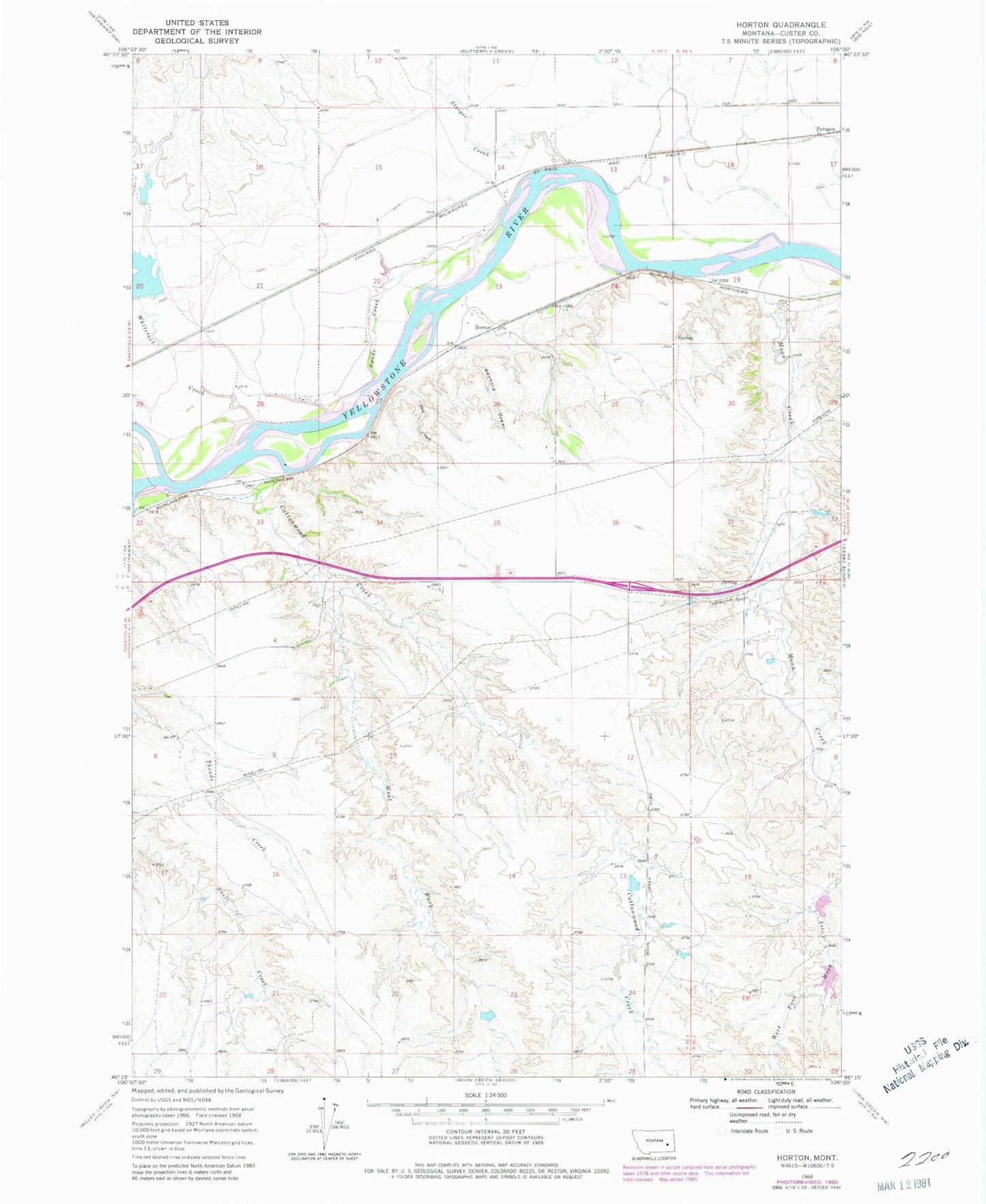
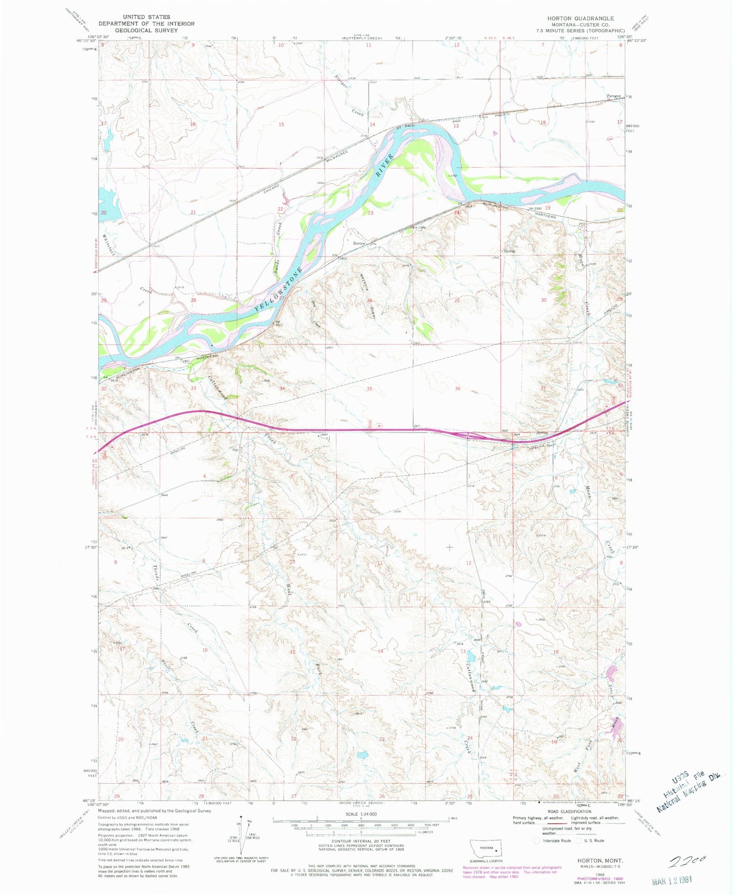
Classic USGS Horton Montana 7.5'x7.5' Topo Map
Couldn't load pickup availability
Historical USGS topographic quad map of Horton in the state of Montana. Map scale may vary for some years, but is generally around 1:24,000. Print size is approximately 24" x 27"
This quadrangle is in the following counties: Custer.
The map contains contour lines, roads, rivers, towns, and lakes. Printed on high-quality waterproof paper with UV fade-resistant inks, and shipped rolled.
Contains the following named places: 07N45E24CDDD01 Well, 07N46E19DADA01 Well, Clermont, Cottonwood Creek, Cottonwood Creek Bridge, Dry Creek, Horton, Horton Post Office, Lockie Number 1 Dam, Lockie Number 5 Dam, Lockie Number 6 Dam, Monarch Number 3 Dam, Moon Creek, Paragon, Reynold Draw, Sadie, Sadie Post Office, Steiger Creek, Swede Creek, West Fork Cottonwood Creek, Whitetail Creek, Whitetail Dam