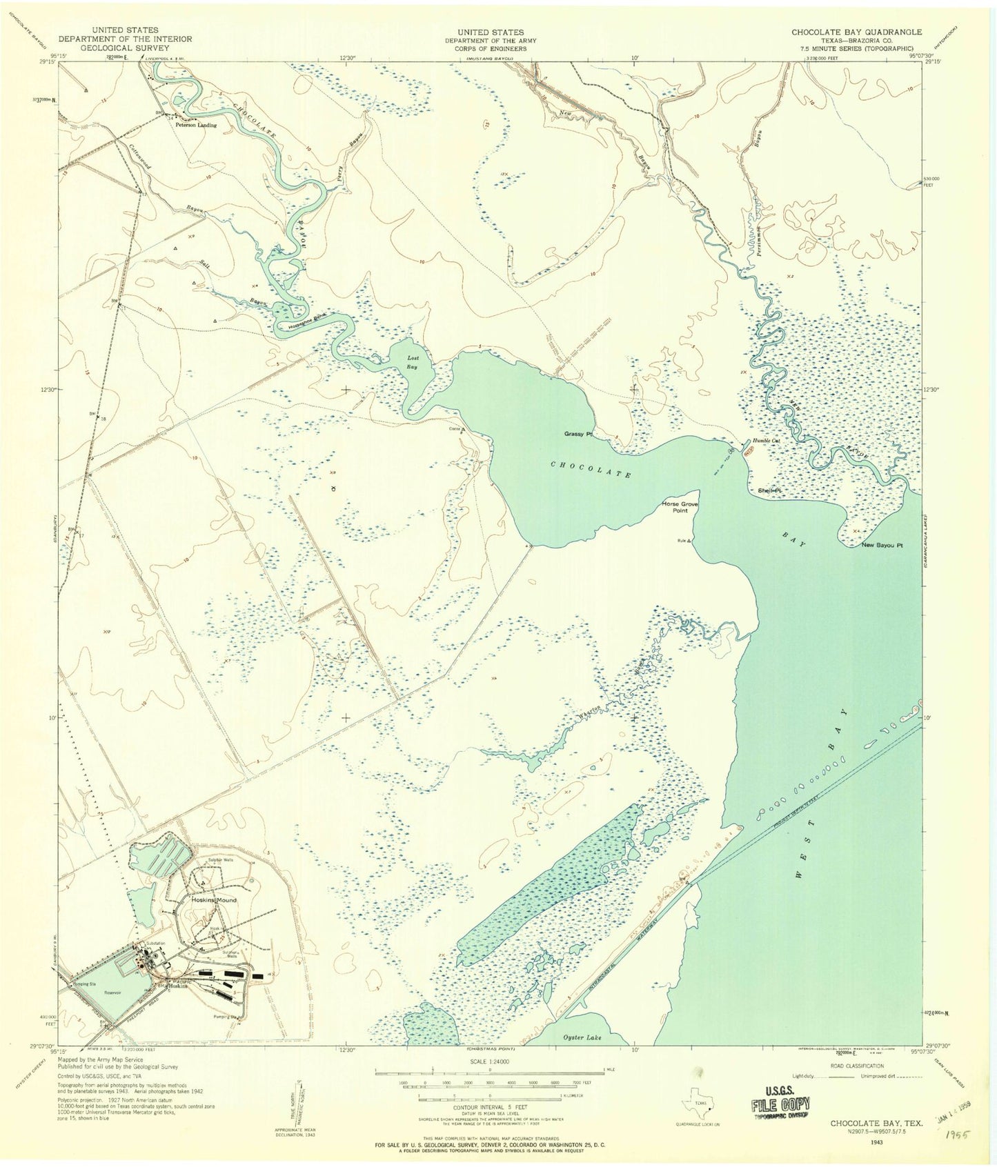
MyTopo
Classic USGS Hoskins Mound Texas 7.5'x7.5' Topo Map
Couldn't load pickup availability
Historical USGS topographic quad map of Hoskins Mound in the state of Texas. Map scale may vary for some years, but is generally around 1:24,000. Print size is approximately 24" x 27"
This quadrangle is in the following counties: Brazoria.
The map contains contour lines, roads, rivers, towns, and lakes. Printed on high-quality waterproof paper with UV fade-resistant inks, and shipped rolled.
Contains the following named places: Amoco Chemicals Reservoir, Amoco Chemicals Reservoir Levee, Amoco Heliport, Amsterdam Volunteer Fire Department, Chocolate Bay, Chocolate Bayou, Cottonwood Bayou, Grassy Point, Horse Grove Point, Horseshoe Bend, Horseshoe Bend Marina, Hoskins, Hoskins Mound, Humble Cut, Lost Bay, Mustang Bayou, New Bayou, New Bayou Point, Perry Bayou, Peterson Landing, Salt Bayou, Shell Point, Wharton Bayou