MyTopo
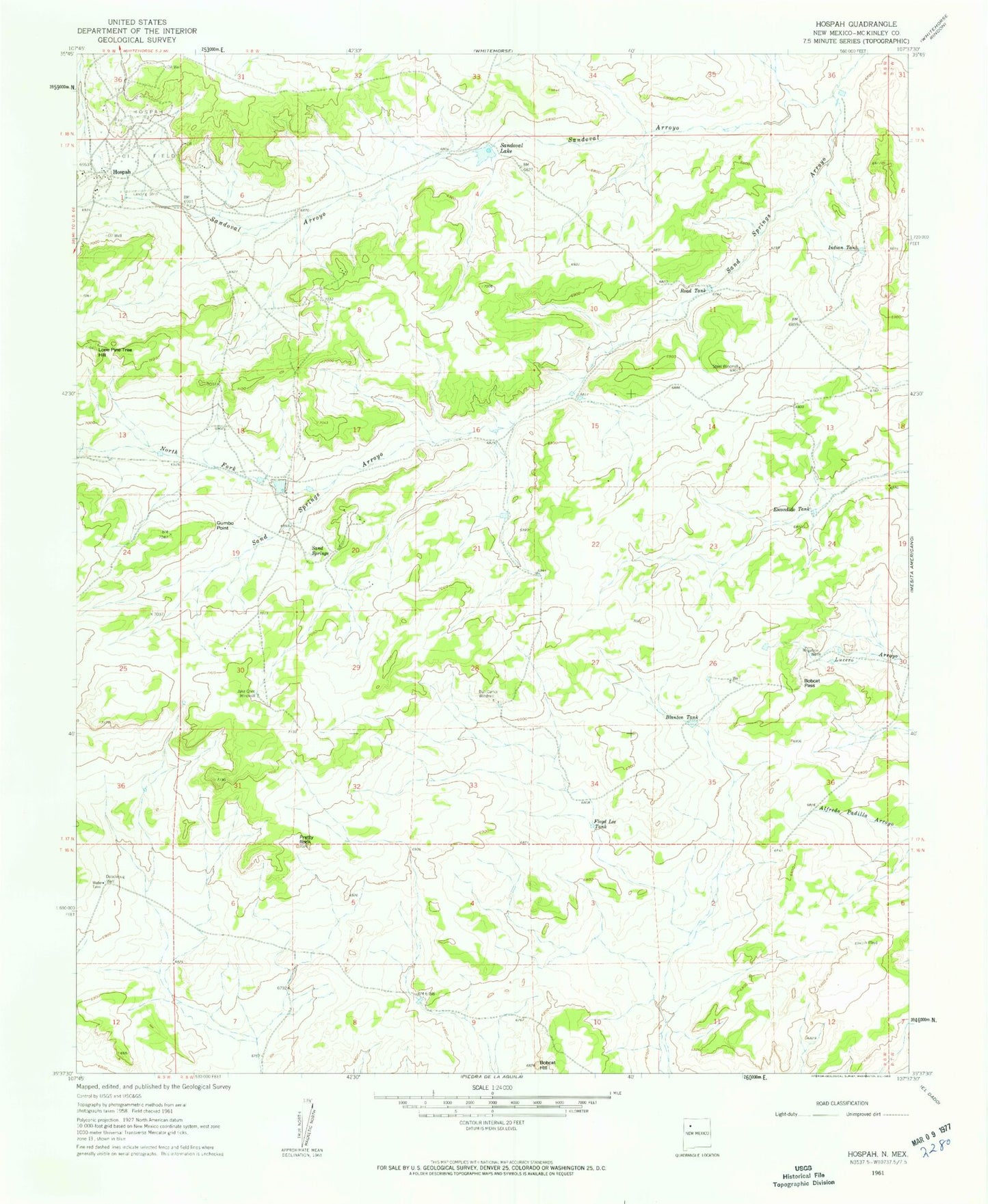
Classic USGS Hospah New Mexico 7.5'x7.5' Topo Map
Couldn't load pickup availability
Historical USGS topographic quad map of Hospah in the state of New Mexico. Map scale may vary for some years, but is generally around 1:24,000. Print size is approximately 24" x 27"
This quadrangle is in the following counties: McKinley.
The map contains contour lines, roads, rivers, towns, and lakes. Printed on high-quality waterproof paper with UV fade-resistant inks, and shipped rolled.
Contains the following named places: 15R-321 Water Well, 15R-321A Water Well, 15R-321B Water Well, Blanton Tank, Bobcat Hill, Bobcat Pass, Bull Camp Windmill, Crownpoint Division, Doodlebug Well, Escondido Tank, Floyd Lee Tank, Gumbo Point, Hospah, Hospah Oil Field, Indian Tank, Jake Chee Windmill, Lone Pine Tree Hill, North Fork Sand Springs Arroyo, Pretty Rock, Road Tank, Sand Springs, Sandoval Arroyo, Sandoval Lake, Steel Windmill


