MyTopo
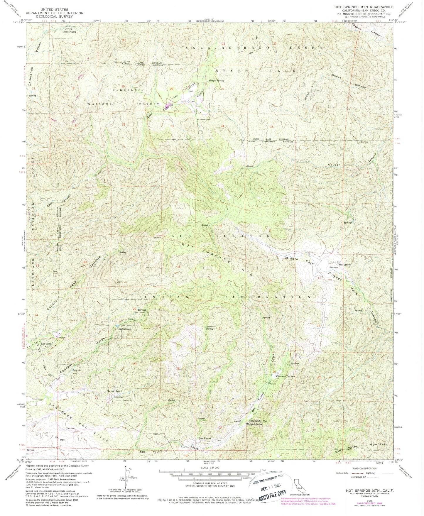
Classic USGS Hot Springs Mountain California 7.5'x7.5' Topo Map
Couldn't load pickup availability
Historical USGS topographic quad map of Hot Springs Mountain in the state of California. Typical map scale is 1:24,000, but may vary for certain years, if available. Print size: 24" x 27"
This quadrangle is in the following counties: San Diego.
The map contains contour lines, roads, rivers, towns, and lakes. Printed on high-quality waterproof paper with UV fade-resistant inks, and shipped rolled.
Contains the following named places: Blackwater Hole, Hot Springs Mountain, Los Coyotes Reservation, Lost Valley, Panawatt Springs, Rainbow Spring, Shingle Spring, Spring Combs Camp, Taylor Ranch, Weowlet Spring, Hot Springs Mountain Lookout, Eagles Nest, Los Tules, San Ignacio, San Ysidro, Los Coyotes Reservation Campground, San Ignacio Cemetery, San Ysidro Cemetery