MyTopo
Classic USGS Hot Springs South Dakota 7.5'x7.5' Topo Map
Couldn't load pickup availability
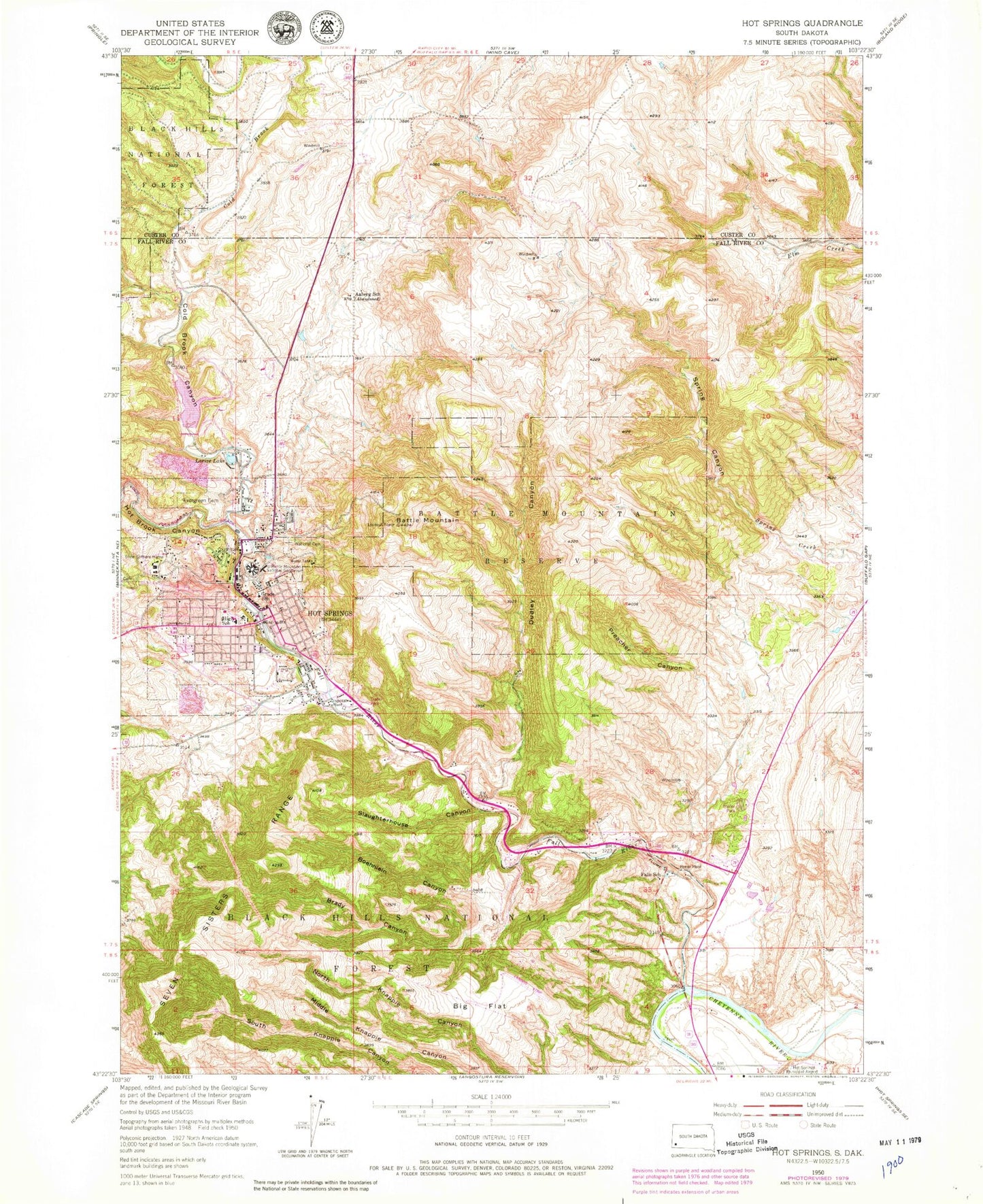
Historical USGS topographic quad map of Hot Springs in the state of South Dakota. Map scale may vary for some years, but is generally around 1:24,000. Print size is approximately 24" x 27"
This quadrangle is in the following counties: Custer, Fall River.
The map contains contour lines, roads, rivers, towns, and lakes. Printed on high-quality waterproof paper with UV fade-resistant inks, and shipped rolled.
Contains the following named places: Aaberg School, Battle Mountain, Battle Mountain National Sanitarium, Battle Mountain Reserve, Bethesda Lutheran Elementary School, Big Flat, Boehniein Canyon, Brady Canyon, City of Hot Springs, Cold Brook, Cold Brook Canyon, Cold Brook Dam, Cold Brook Reservoir, Department of Veterans Affairs Medical Center Fire Department, Dudley Canyon, Evergreen Cemetery, Fall River, Fall River County Courthouse, Fall River County Jail, Fall River County Sheriff's Office, Fall River Health Services Hospital, Falls School, Flying T Airport, Hot Brook, Hot Brook Canyon, Hot Springs, Hot Springs Ambulance Service, Hot Springs City Hall, Hot Springs Elementary School, Hot Springs Fire Department, Hot Springs High School, Hot Springs Middle School, Hot Springs National Cemetery, Hot Springs Police Department, Hot Springs Post Office, Hot Springs Public Library, KOBH-AM (Hot Springs), KOBH-FM (Hot Springs), Larive Lake, Martin Valley, Maverick Junction, Maverick Junction Census Designated Place, Odell, Preacher Canyon, Seven Sisters Range, Shannon County Sheriff's Office, Slaughterhouse Canyon, South Dakota State Soldiers Home, Spring Canyon, Veterans Affairs Black Hills Health Care System Hot Springs Campus


