
MyTopo
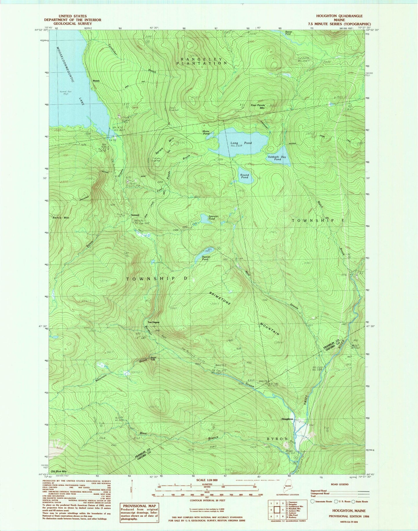
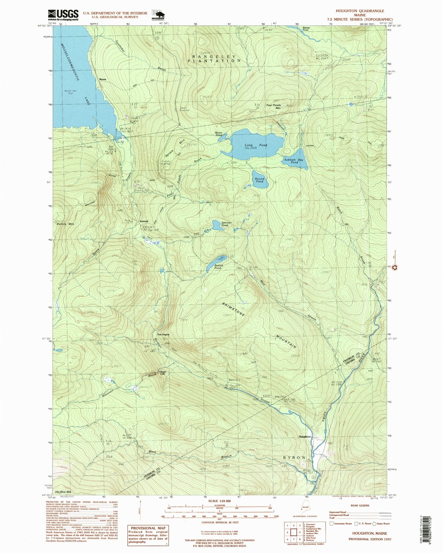
Classic USGS Houghton Maine 7.5'x7.5' Topo Map
Couldn't load pickup availability
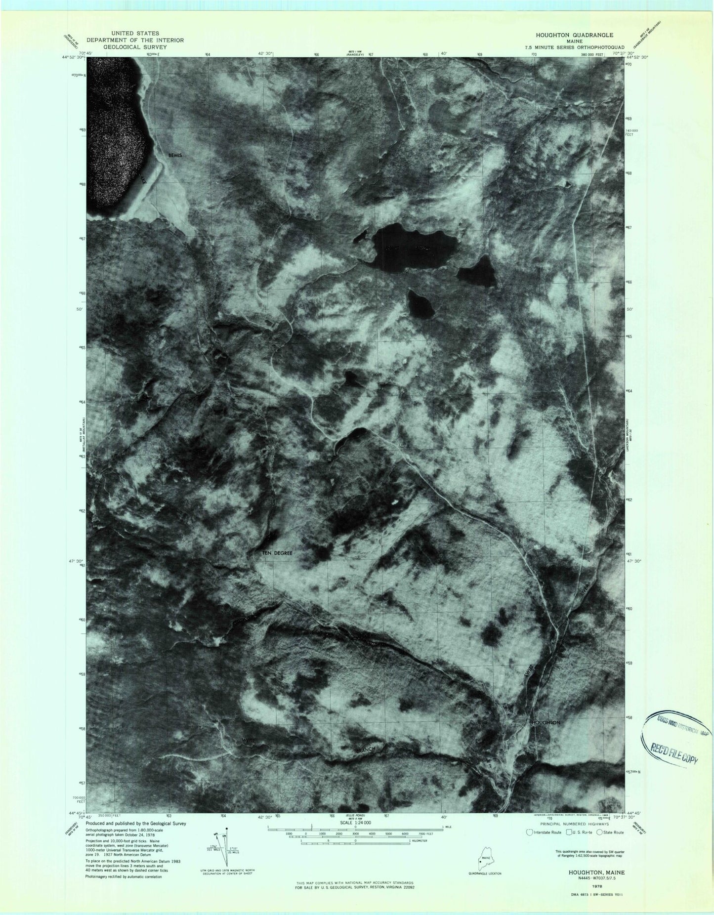
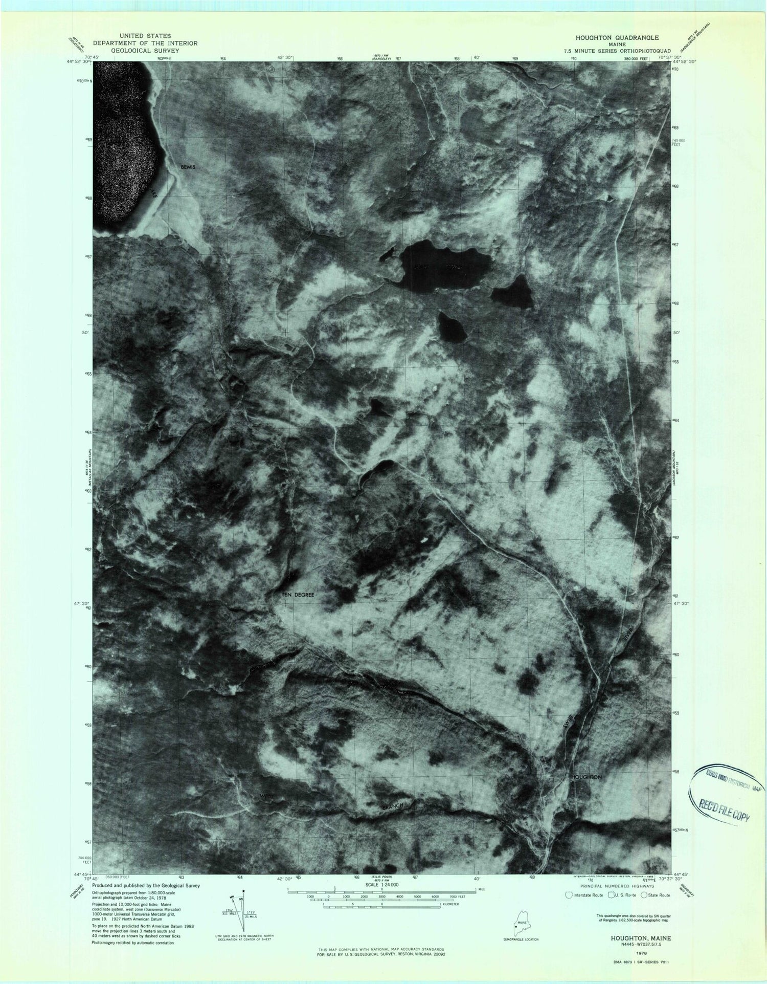
Historical USGS topographic quad map of Houghton in the state of Maine. Typical map scale is 1:24,000, but may vary for certain years, if available. Print size: 24" x 27"
This quadrangle is in the following counties: Franklin, Oxford.
The map contains contour lines, roads, rivers, towns, and lakes. Printed on high-quality waterproof paper with UV fade-resistant inks, and shipped rolled.
Contains the following named places: Beaver Pond, Beaver Pond, Bemis Stream, Berdeen Stream, Brimstone Mountain, Four Ponds Brook, Four Ponds Mountain, Houghton, Long Pond, Maxie Pond, Mott Stream, Mountain Brook, Round Pond, Sabbath Day Pond, Spencer Pond, Spruce Mountain, Summit, Toothaker Brook, Welch Brook, West Branch Swift River, Bemis, Ten Degree, Angel Falls, Angel Falls Trail, Bemis Stream Trail, Bemis Trail, Height of Land Scenic Overlook, Township D, Beaver Pond, Beaver Pond, Bemis Stream, Berdeen Stream, Brimstone Mountain, Four Ponds Brook, Four Ponds Mountain, Houghton, Long Pond, Maxie Pond, Mott Stream, Mountain Brook, Round Pond, Sabbath Day Pond, Spencer Pond, Spruce Mountain, Summit, Toothaker Brook, Welch Brook, West Branch Swift River, Bemis, Ten Degree, Angel Falls, Angel Falls Trail, Bemis Stream Trail, Bemis Trail, Height of Land Scenic Overlook, Township D