MyTopo
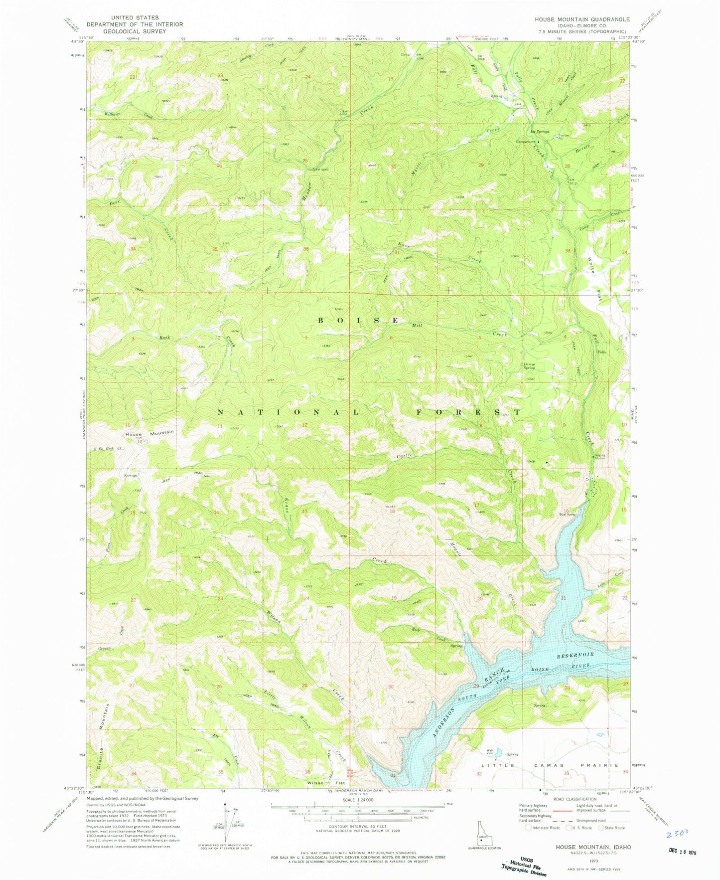
Classic USGS House Mountain Idaho 7.5'x7.5' Topo Map
Couldn't load pickup availability
Historical USGS topographic quad map of House Mountain in the state of Idaho. Map scale may vary for some years, but is generally around 1:24,000. Print size is approximately 24" x 27"
This quadrangle is in the following counties: Elmore.
The map contains contour lines, roads, rivers, towns, and lakes. Printed on high-quality waterproof paper with UV fade-resistant inks, and shipped rolled.
Contains the following named places: Camp Creek, Castle Creek, Castle Rock Campground, Daveys Spring, Evans Creek, Evans Creek Campground, Fall Creek, Fall Creek Lodge, Fall Creek Recreation Site, Granite Mountain, Guay Creek, Herrin Creek, House Mountain, Ice Springs, Ice Springs Campground, Knox Creek, Lake Creek, Little Wilson Creek, Little Wilson Creek Campground, Magpie Creek, Meadow Creek, Mill Creek, Mineral Creek, Myrtle Creek, Rhead Dam, Rock Creek, Tally Baker Creek, White Flat, Wilson Creek