MyTopo
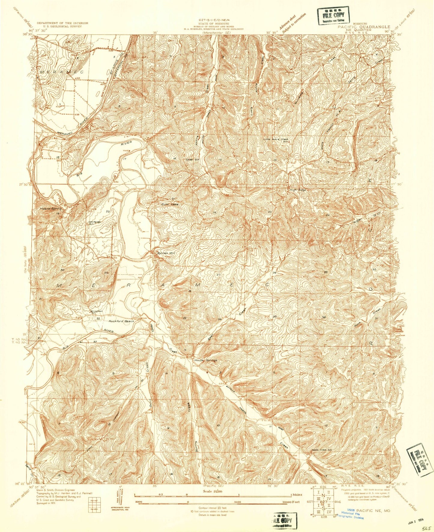
Classic USGS House Springs Missouri 7.5'x7.5' Topo Map
Couldn't load pickup availability
Historical USGS topographic quad map of House Springs in the state of Missouri. Typical map scale is 1:24,000, but may vary for certain years, if available. Print size: 24" x 27"
This quadrangle is in the following counties: Jefferson, St. Louis.
The map contains contour lines, roads, rivers, towns, and lakes. Printed on high-quality waterproof paper with UV fade-resistant inks, and shipped rolled.
Contains the following named places: Bear Creek, Bourne Creek, Byrnes Mill, Echo Lake Ranch, Hoene Spring, House Springs, Lake Montowese, Lake Pottawatomie, Saint Martins Church, Lake Sevan, Twin River Park, Weber Hill, Dulin Creek, Heads Creek, High Ridge, Cedar School (historical), White Oak School (historical), Stringtown School (historical), Bear Creek School (historical), Head Creek School (historical), Big Spring, Parkdale, Rockford Beach, Big River, Moders Airport (historical), Fabick Lake (historical), Steeger Lake Dam, Steeger Lake, Lake Kearney Dam, Lake Montowese Dam, Weber Hill Terrace Lake Dam, Volumer Dam, Volumer Lake, Land of Lakes Dam, Tamarack Dam, Sevan Dam, Number 264 Dam, Highway 21 Lake Dam, Scotsdale, High Ridge Census Designated Place, City of Byrnes Mill, Town of Scotsdale, Township of High Ridge, Village of Parkdale, High Ridge Fire Protection District Station 3, High Ridge Fire Protection District, Northwest Valley School, Eureka Municipal Sewage Treatment Plant, High Ridge Post Office, House Springs Elementary School, Harmony Baptist Church, Village of Peaceful Village, Eureka Fire Protection District House 3, High Ridge Fire Protection District Station 4, Byrnes Mill Police Department, House Springs Post Office


