MyTopo
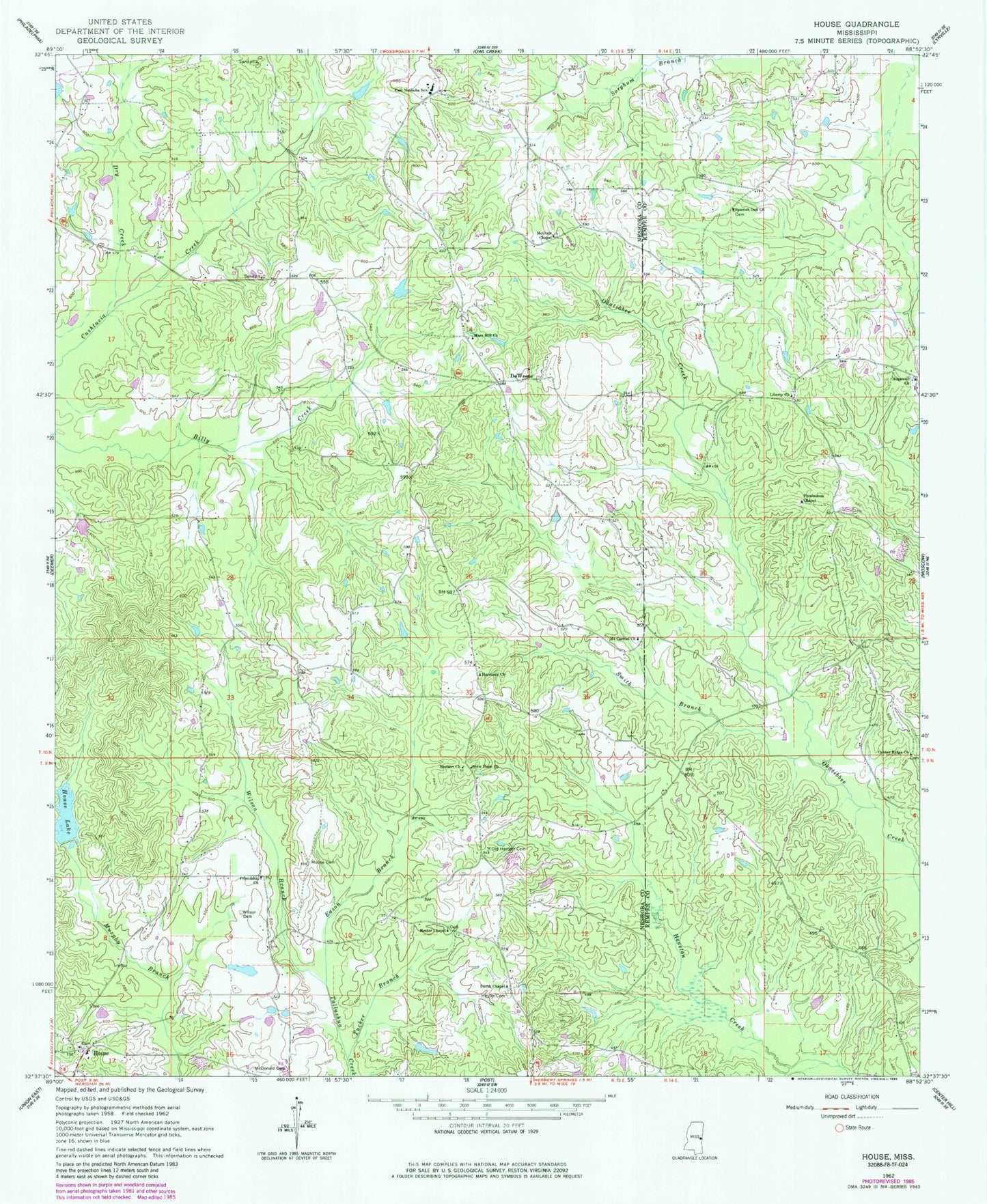
Classic USGS House Mississippi 7.5'x7.5' Topo Map
Couldn't load pickup availability
Historical USGS topographic quad map of House in the state of Mississippi. Map scale may vary for some years, but is generally around 1:24,000. Print size is approximately 24" x 27"
This quadrangle is in the following counties: Kemper, Neshoba.
The map contains contour lines, roads, rivers, towns, and lakes. Printed on high-quality waterproof paper with UV fade-resistant inks, and shipped rolled.
Contains the following named places: Center Ridge Church, Cushtusha, DeWeese, Dry Creek, Eason Branch, East Neshoba School, East Neshoba Volunteer Fire Department Station 3, Emoqualosha Plantation, Friendship Church, Harmony Church, Herbert, Herbert Cemetery, Herbert Church, Hester Cemetery, Hester Chapel, Hester Lake Dam, Hesters Chapel Cemetery, Hopewell Cemetery, Hopewell Church, House, House Cemetery, House Lake, House Volunteer Fire Department, House Volunteer Fire Department Station 2, Java, Liberty Baptist Church, Liberty Cemetery, Mars Hill Cemetery, Mars Hill Church, McClain Chapel, McDonald Cemetery, McLain - Calico Airport, Mount Carmel Church, New Hope Church, Old Herbert Cemetery, Persimmon Chapel, Smith Branch, Smith Chapel, Spanish Oak Church, Spinks, Tucker Branch, Union Sportsman Club Lake Dam, West Imongalasha, Wilson Branch, Wilson Cemetery, Yazoo, Yazoo Plantation