MyTopo
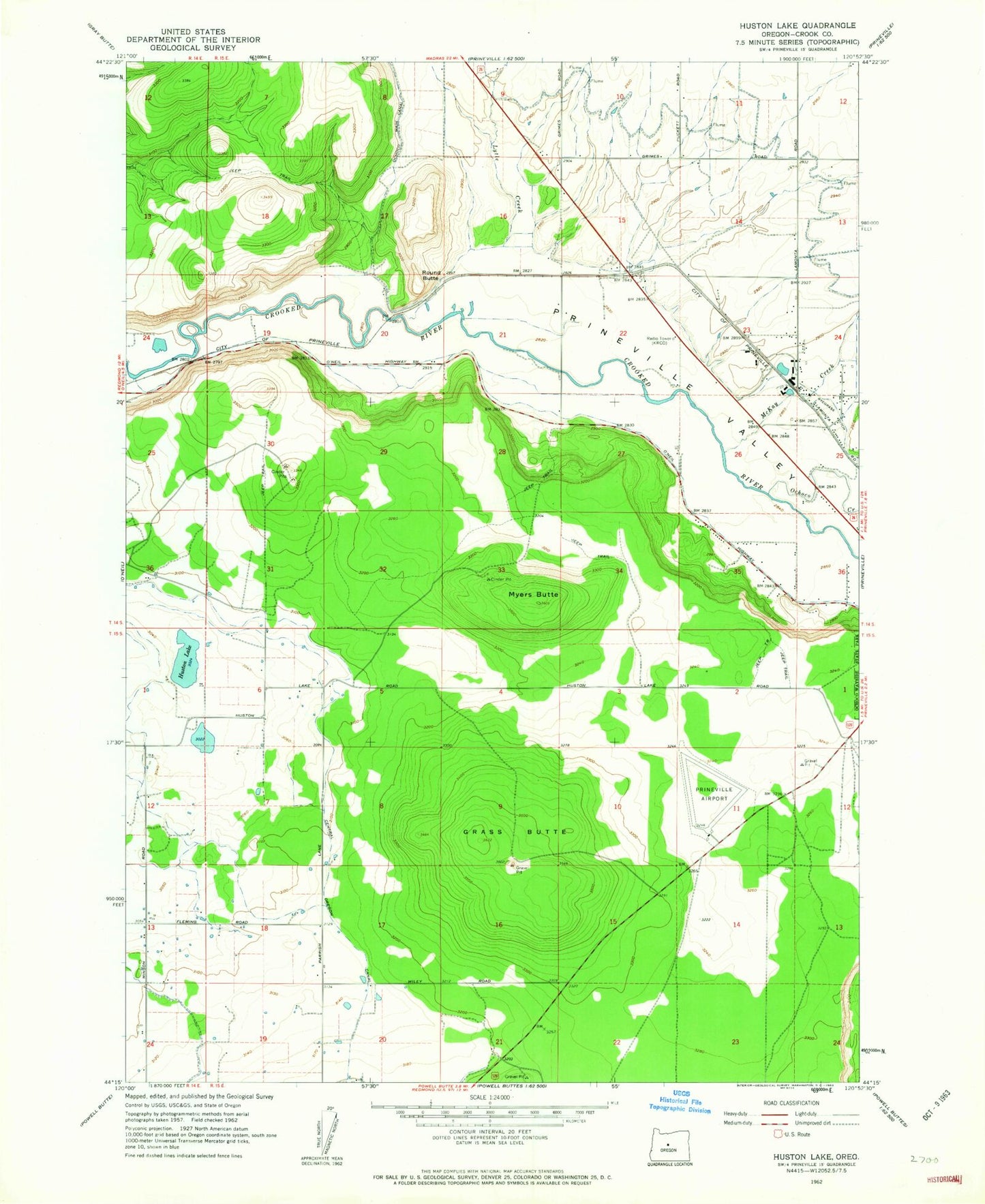
Classic USGS Houston Lake Oregon 7.5'x7.5' Topo Map
Couldn't load pickup availability
Historical USGS topographic quad map of Houston Lake in the state of Oregon. Map scale may vary for some years, but is generally around 1:24,000. Print size is approximately 24" x 27"
This quadrangle is in the following counties: Crook.
The map contains contour lines, roads, rivers, towns, and lakes. Printed on high-quality waterproof paper with UV fade-resistant inks, and shipped rolled.
Contains the following named places: Central Oregon Helitak Prineville Helibase, Elliott Slough, Grass Butte, Houston Lake, KRCO-AM, Little Houston Lake, Lytle Creek, McKay Creek, Montgomery Spur, Myers Butte, Ochoco Creek, Peoples Irrigation Company Ditch, Prineville Airport, Prineville Bureau of Land Management Heliport, Prineville Valley, Round Butte, Slayton Spur, Wilton, Windy Acres Dairy Farm