MyTopo
Classic USGS Houston Arkansas 7.5'x7.5' Topo Map
Couldn't load pickup availability
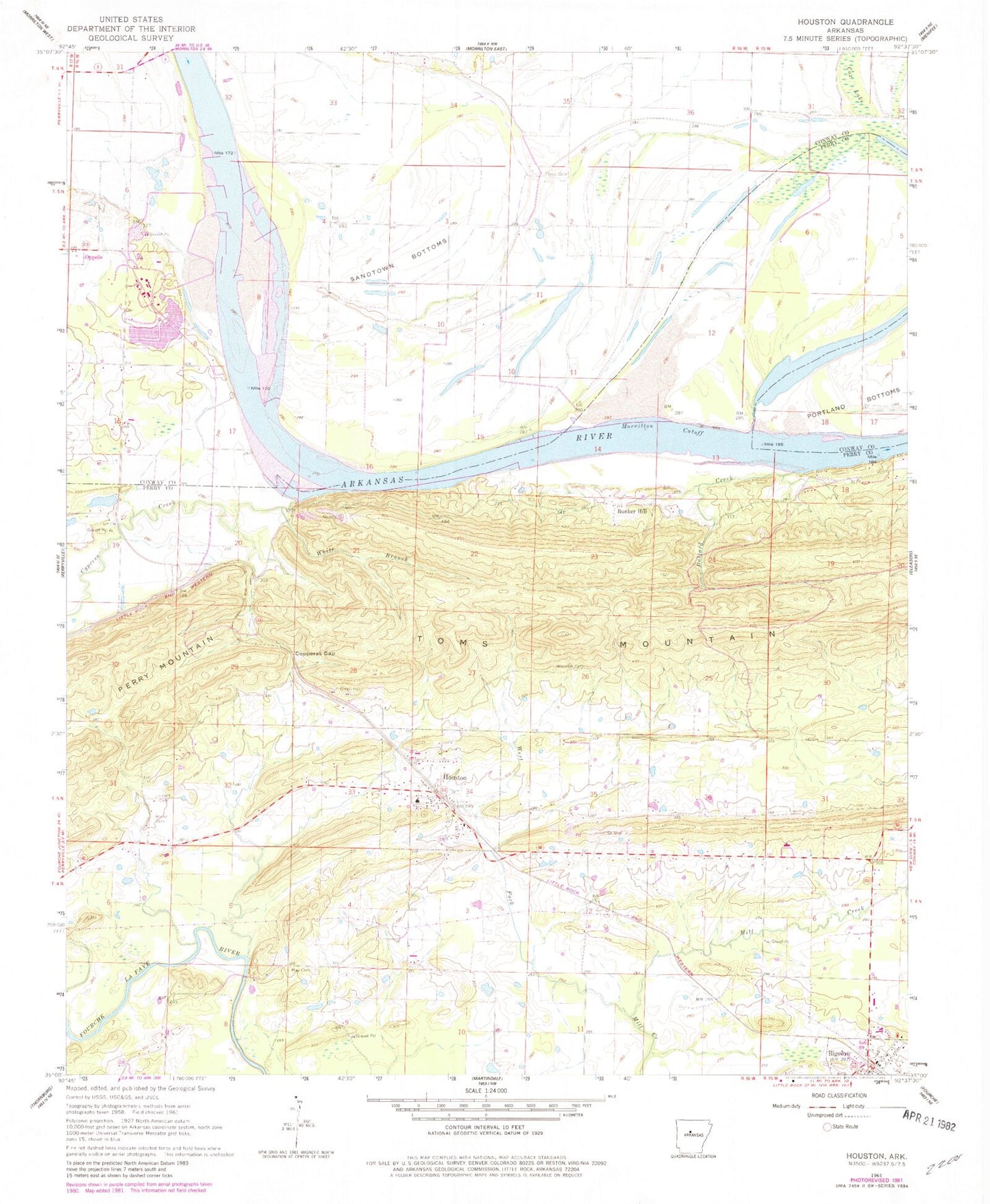
Historical USGS topographic quad map of Houston in the state of Arkansas. Map scale may vary for some years, but is generally around 1:24,000. Print size is approximately 24" x 27"
This quadrangle is in the following counties: Conway, Perry.
The map contains contour lines, roads, rivers, towns, and lakes. Printed on high-quality waterproof paper with UV fade-resistant inks, and shipped rolled.
Contains the following named places: Anne Watson Elementary School, Ballard Creek, Bethel School, Bigelow, Bigelow Fire Station, Bland Cemetery, Bunker Hill, Copperas Gap, Copperas Spring School, Council Bluffs Bridge, Cox Lake, Cypress Bend, Cypress Creek, Cypress Creek Park, Houston, Houston Cemetery, Houston City Police, Houston Post Office, Houston Volunteer Fire Department, Leach Cemetery, May Cemetery, Moab, Morrilton Cutoff, Sandtown, Sandtown Bottoms, Toms Mountain, Town of Houston, Township of Houston, West Fork Mill Creek, White Branch, ZIP Code: 72070