MyTopo
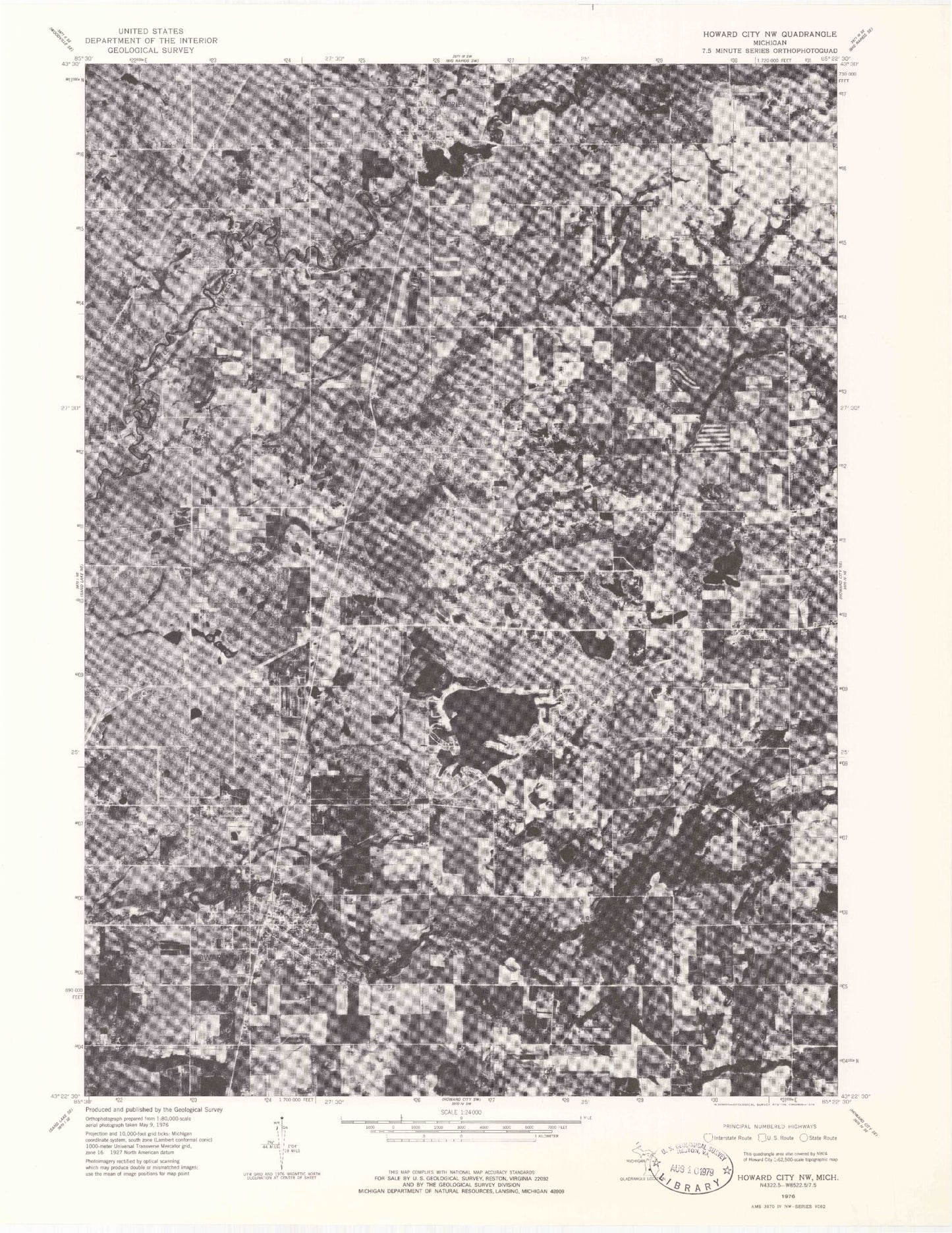
Classic USGS Howard City Michigan 7.5'x7.5' Topo Map
Couldn't load pickup availability
Historical USGS topographic quad map of Howard City in the state of Michigan. Map scale may vary for some years, but is generally around 1:24,000. Print size is approximately 24" x 27"
This quadrangle is in the following counties: Mecosta, Montcalm.
The map contains contour lines, roads, rivers, towns, and lakes. Printed on high-quality waterproof paper with UV fade-resistant inks, and shipped rolled.
Contains the following named places: Aetna Cemetery, Amble, Amble Cemetery, Amble Post Office, Amble Station, Amble Volunteer Fire Department, Anderson Airport, Bethel Lutheran Church, Big Creek, Body of Christ Family Church, Boyd Cemetery, Burley Lake, Christ the King Church, Conger Post Office, Conger Station, Crane Lake, Deerfield Church, Edgerton Upper Elementary School, Ensley Park, First Baptist Church, Gaffield School, Grace Community Church, Henkel Lake, Herbert J Peck Park, Howard City, Howard City Fire Department, Howard City Police Department, Howard City Post Office, Howard City Station, Indian Creek Drain, Indian Lake, Krampe Lake, MacNaughton Elementary School, Marne United Methodist Church, Mecosta Pines RV Park, Minnie Farmer Park, Morley, Morley Area Fire Department, Morley Elementary School, Morley Police Department, Morley Pond, Morley Post Office, Morley Rest Area, Morley Station, North Greenville Station, Reynold Post Office, Reynolds Cemetery, Reynolds Township Library, Saint Apollonia Cemetery, Tamarack Estates Mobile Home Park, Township of Winfield, Village of Howard City, Village of Morley, Weatherby Drain, ZIP Code: 49329


