MyTopo
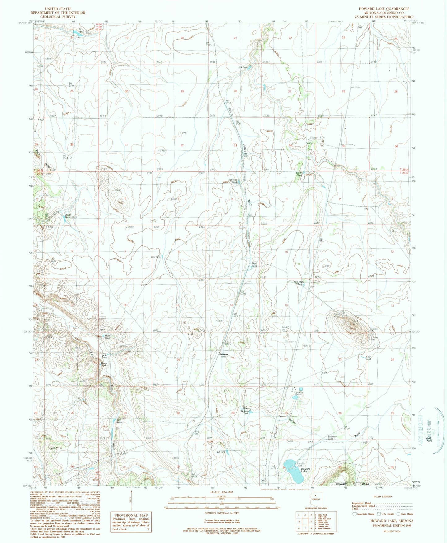
Classic USGS Howard Lake Arizona 7.5'x7.5' Topo Map
Couldn't load pickup availability
Historical USGS topographic quad map of Howard Lake in the state of Arizona. Map scale may vary for some years, but is generally around 1:24,000. Print size is approximately 24" x 27"
This quadrangle is in the following counties: Coconino.
The map contains contour lines, roads, rivers, towns, and lakes. Printed on high-quality waterproof paper with UV fade-resistant inks, and shipped rolled.
Contains the following named places: Burro Tank, Cataract Pumping Station, Cow Tank, Eighteen Tank, Four Hills, Hill Tank, Horse Tank, Howard Lake, La Mesa Tank, Mud Tank, Mule Tank, North Tank, Oliver Tank, Quivero, Quivero Railroad Station, Railroad Tank, Red Hill Tank, Selman Tank, Tom Tank, Twentyeight Tank, Twentyfour Tank