MyTopo
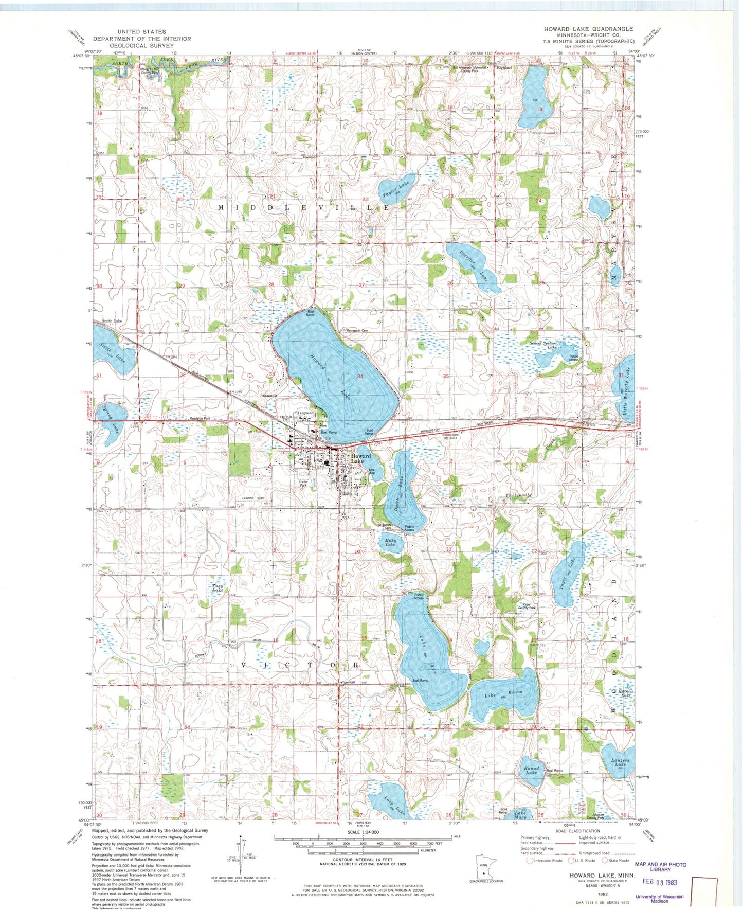
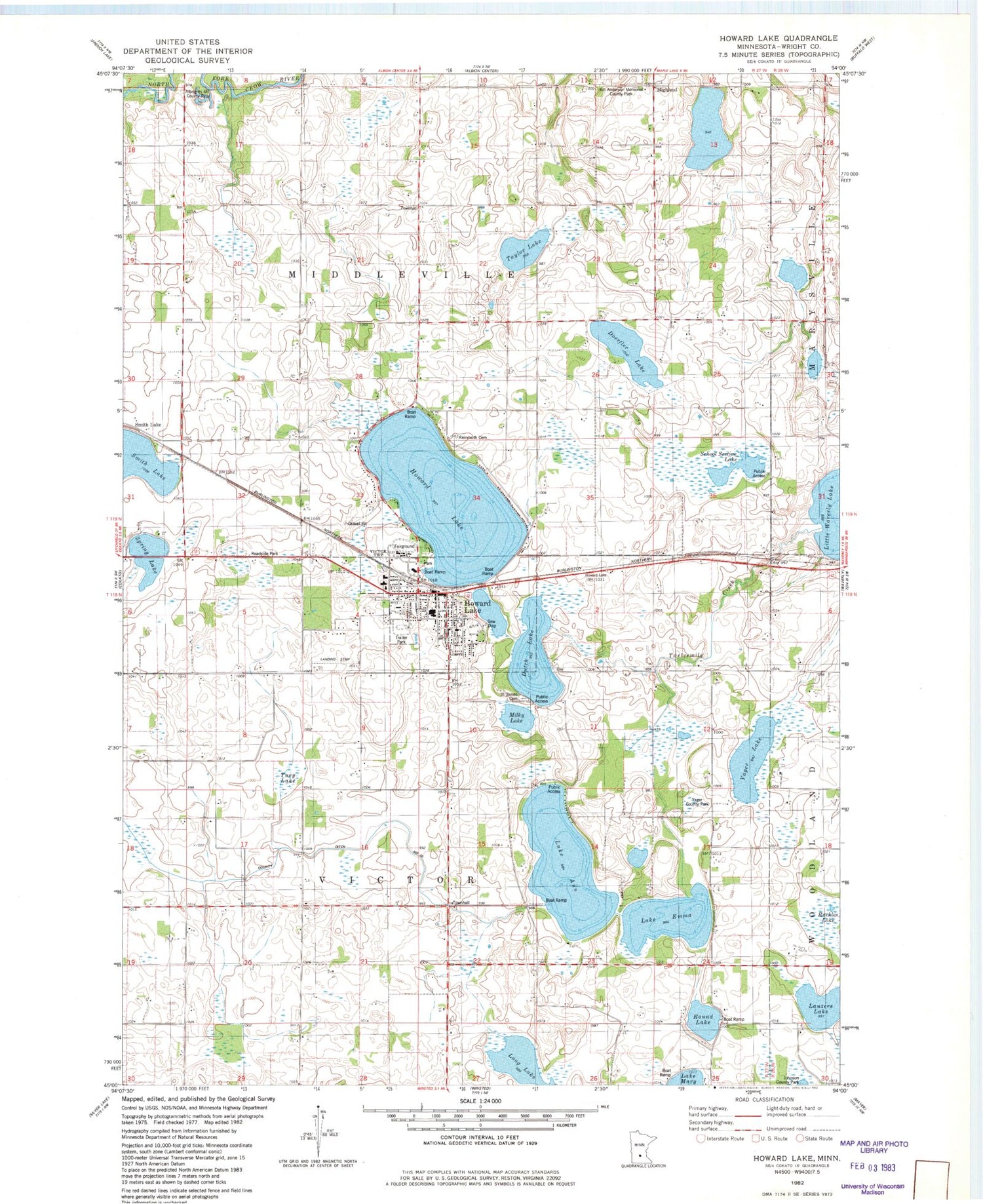
Classic USGS Howard Lake Minnesota 7.5'x7.5' Topo Map
Couldn't load pickup availability
Historical USGS topographic quad map of Howard Lake in the state of Minnesota. Map scale may vary for some years, but is generally around 1:24,000. Print size is approximately 24" x 27"
This quadrangle is in the following counties: Wright.
The map contains contour lines, roads, rivers, towns, and lakes. Printed on high-quality waterproof paper with UV fade-resistant inks, and shipped rolled.
Contains the following named places: Albrights Mill County Park, Billy Anderson Memorial County Park, Blessed Hope Church, City of Howard Lake, Corey School, County Ditch Number Ten, Doerfler Lake, Dustin Massacre Historical Marker, Dustin Memorial Wayside Park, Dutch Lake, Good News Church, Greens at Howard Lake Golf Course, Highland, Howard Lake, Howard Lake - Waverly - Winsted High School, Howard Lake - Waverly - Winsted Middle School, Howard Lake Ambulance Service, Howard Lake Cemetery, Howard Lake Christian Church, Howard Lake City Hall, Howard Lake Fire Department, Howard Lake Good Samaritan Center, Howard Lake Library, Howard Lake Mobile Home Park, Howard Lake Police Department, Howard Lake Post Office, Lake Ann, Lake Emma, Lauzers Lake, Long Lake, Mallard Pass Lake, McKinley School, Meister School, Merriman School, Milky Lake, North Howard School, Reinmuth Cemetery, Ridgeview Medical Clinic, Round Lake, Ruckles Lake, Saint James Cemetery, Saint James Lutheran Church, Saint James Lutheran School, Saint John's Lutheran Church, School Section Lake, Smith Lake, Smith Lake Post Office, Solid Rock Faith Fellowship, Spring Lake, Taylor Lake, Township of Middleville, Township of Victor, Tuey Lake, Vista del Lago Resort Campground, Walker United Methodist Church, Wright County Fairgrounds, Yager County Park, Yager Lake, ZIP Code: 55349


