MyTopo
Classic USGS Howard NW Pennsylvania 7.5'x7.5' Topo Map
Couldn't load pickup availability
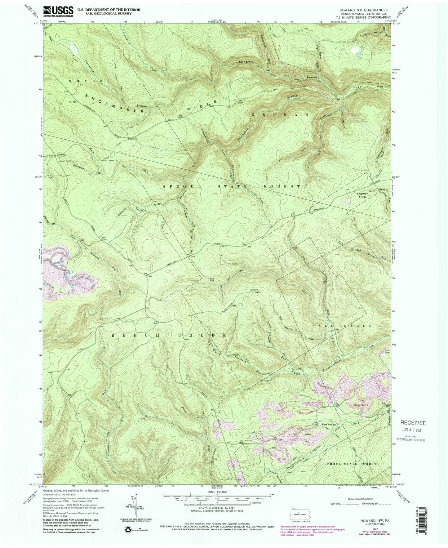
Historical USGS topographic quad map of Howard NW in the state of Pennsylvania. Typical map scale is 1:24,000, but may vary for certain years, if available. Print size: 24" x 27"
This quadrangle is in the following counties: Clinton.
The map contains contour lines, roads, rivers, towns, and lakes. Printed on high-quality waterproof paper with UV fade-resistant inks, and shipped rolled.
Contains the following named places: Bear Swamp, Benjamin Run, Clendenin Branch, Cold Fork, Cowlick Run, Cranberry Run, Dishpan Hollow, Hastings Branch, Left Branch Puncheon Run, Mill Branch, Rock Run, Roger Hollow, Roger Run, Shoemaker Branch, Smokehouse Run, Swamp Branch, Tarkiln Branch, Cold Fork Trail, Conklin Hollow, Cowlick Trail, Eagleton Run Trail, Four Ridge Trail, Puncheon Run Trail, Sheap Trap Trail, Shoemaker Ridge, Shoemaker Trail, Slaughtering Ground Trail, Smokehouse Hollow Trail, Coffin Rocks Tower (historical), Bear Swamp, Eagleton Fields, Clinton County, Township of Beech Creek


