MyTopo
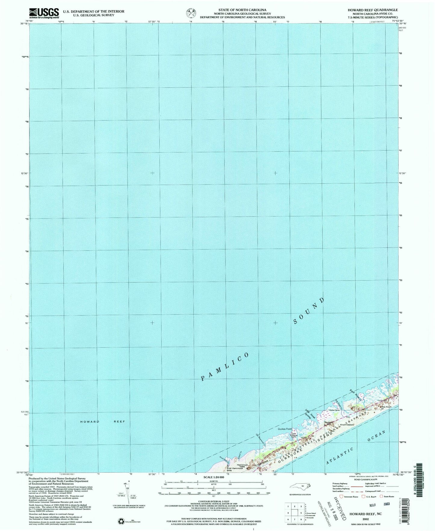
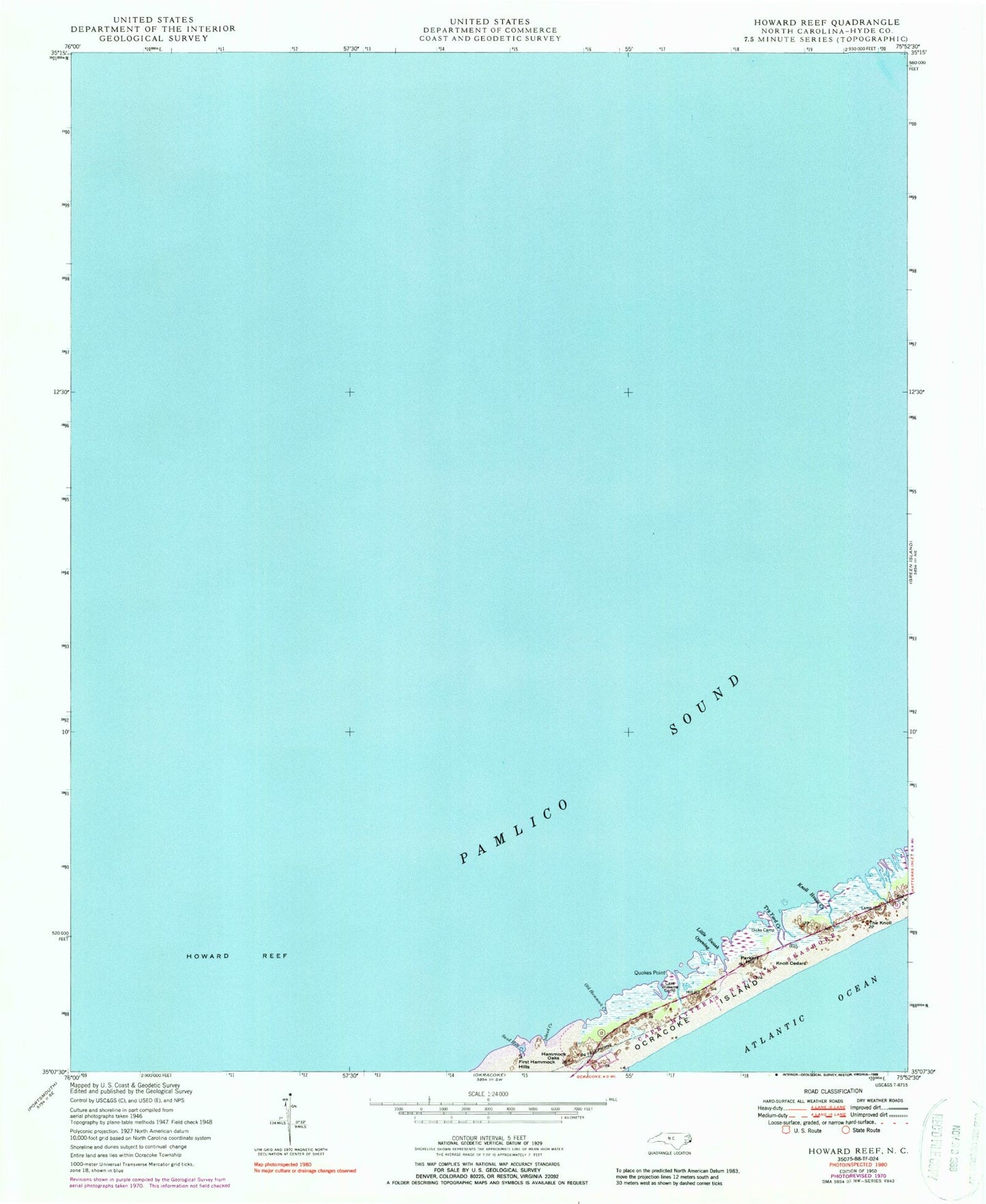
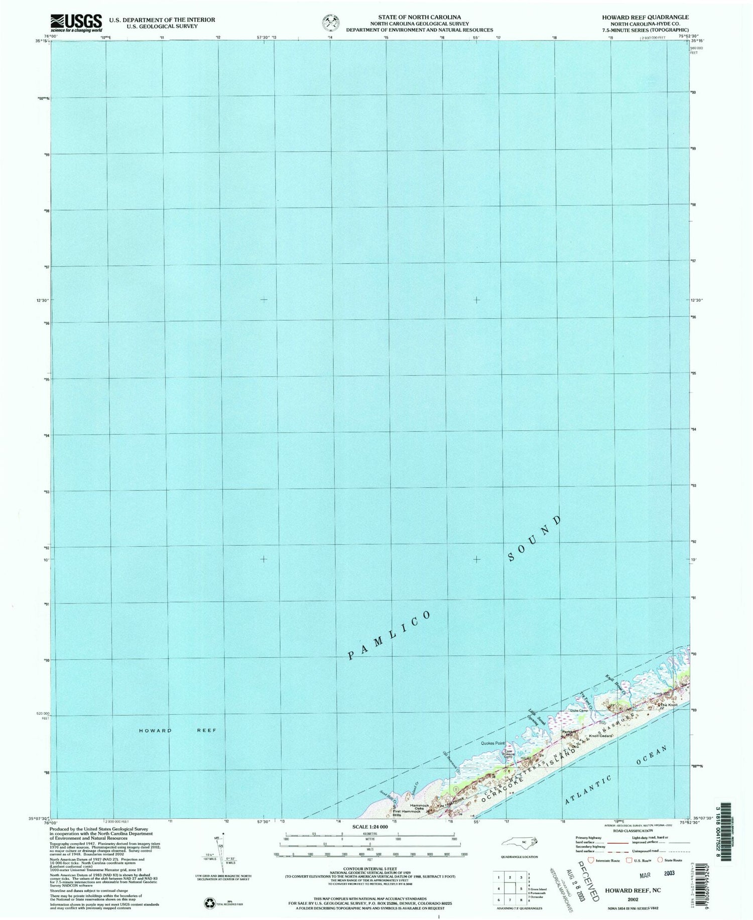
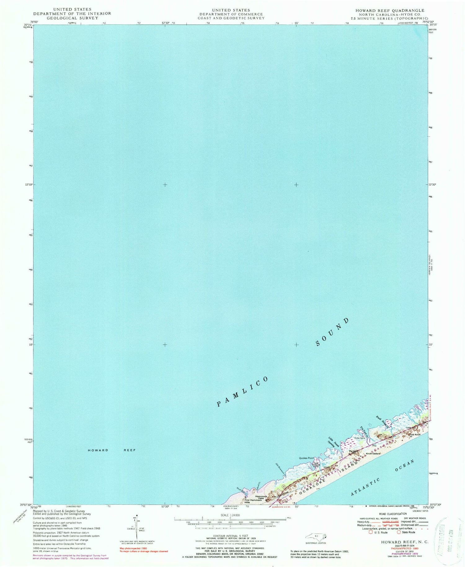
Classic USGS Howard Reef North Carolina 7.5'x7.5' Topo Map
Couldn't load pickup availability
Historical USGS topographic quad map of Howard Reef in the state of North Carolina. Map scale may vary for some years, but is generally around 1:24,000. Print size is approximately 24" x 27"
This quadrangle is in the following counties: Hyde.
The map contains contour lines, roads, rivers, towns, and lakes. Printed on high-quality waterproof paper with UV fade-resistant inks, and shipped rolled.
Contains the following named places: Cass Williams Camp, Clark Reef, Dicks Camp, Hammock Oaks, Howard Reef, Island Creek, Knoll Cedars, Knoll House Creek, Little Swash Opening, Ocracoke Census Designated Place, Ocracoke Island, Old Hammock Creek, Parkers Hill, Quokes Point, Sand Hole Creek, The Knoll, Township of Ocracoke, Try Yard Creek