MyTopo
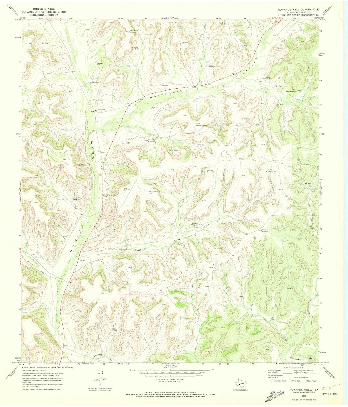
Classic USGS Howards Well Texas 7.5'x7.5' Topo Map
Couldn't load pickup availability
Historical USGS topographic quad map of Howards Well in the state of Texas. Map scale may vary for some years, but is generally around 1:24,000. Print size is approximately 24" x 27"
This quadrangle is in the following counties: Crockett.
The map contains contour lines, roads, rivers, towns, and lakes. Printed on high-quality waterproof paper with UV fade-resistant inks, and shipped rolled.
Contains the following named places: East Odom Windmill, Government Canyon, Government Water Hole Spring, Government Windmill, Howard Springs, Howards Well, Lemon Windmill, Middle Windmill, Money Windmill, Murrah Windmill, Odom Windmill, Pierce Ranch, Red Tail Windmill, Scott Canyon, Sevenmile Draw, South Odom Windmill, Sowell Draw, Star Divide Windmill, Star Windmill, Sulphur Windmill, Whites Windmill, Yegua Windmill