MyTopo
Classic USGS Howe Texas 7.5'x7.5' Topo Map
Couldn't load pickup availability
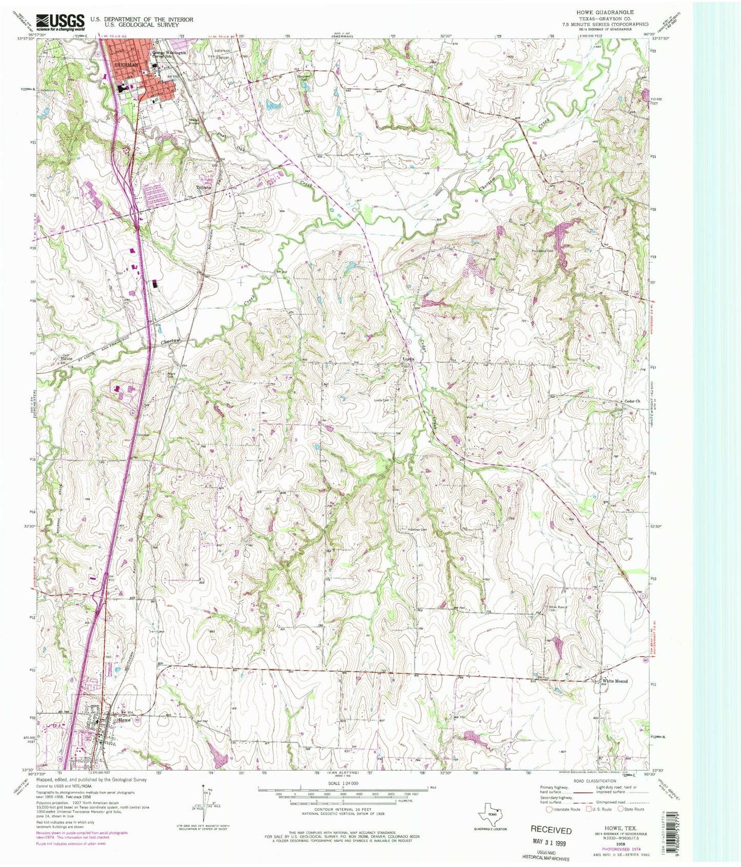
Historical USGS topographic quad map of Howe in the state of Texas. Map scale may vary for some years, but is generally around 1:24,000. Print size is approximately 24" x 27"
This quadrangle is in the following counties: Grayson.
The map contains contour lines, roads, rivers, towns, and lakes. Printed on high-quality waterproof paper with UV fade-resistant inks, and shipped rolled.
Contains the following named places: Air Evac Lifeteam Emergency Response, Akers Cemetery, Boyd Cemetery, Cedar Cemetery, Cedar Church, Cedar Creek, Chapman Park, East Grayson Division, Fellowship Missionary Baptist Church, George Washington Carver School, Harvest Time Assembly of God Church, Hilton, Holloway Cemetery, Howe, Howe City Hall, Howe Fire Department Station 1, Howe Police Department, Howe Post Office, Kahuna Bay Airport, Luella, Luella Cemetery, Merriman Hills Baptist Church, Post Oak Creek, Providence Cemetery, Saint Mary's Cemetery, Sand Creek, Sherman Fire Department Station 4 Blalock, Soil Conservation Service Site 12 Dam, Soil Conservation Service Site 12 Reservoir, Soil Conservation Service Site 14 Dam, Soil Conservation Service Site 14 Reservoir, Soil Conservation Service Site 15 Dam, Soil Conservation Service Site 15 Reservoir, Soil Conservation Service Site 16 Dam, Soil Conservation Service Site 16 Reservoir, Soil Conservation Service Site 17 Dam, Soil Conservation Service Site 17 Reservoir, Soil Conservation Service Site 18 Dam, Soil Conservation Service Site 18 Reservoir, Soil Conservation Service Site 20 Dam, Soil Conservation Service Site 20 Reservoir, Soil Conservation Service Site 27 Dam, Soil Conservation Service Site 27 Reservoir, Town of Howe, Tribune, White Mound, White Mound Cemetery, ZIP Code: 75090


