MyTopo
Classic USGS Howells Point New York 7.5'x7.5' Topo Map
Couldn't load pickup availability
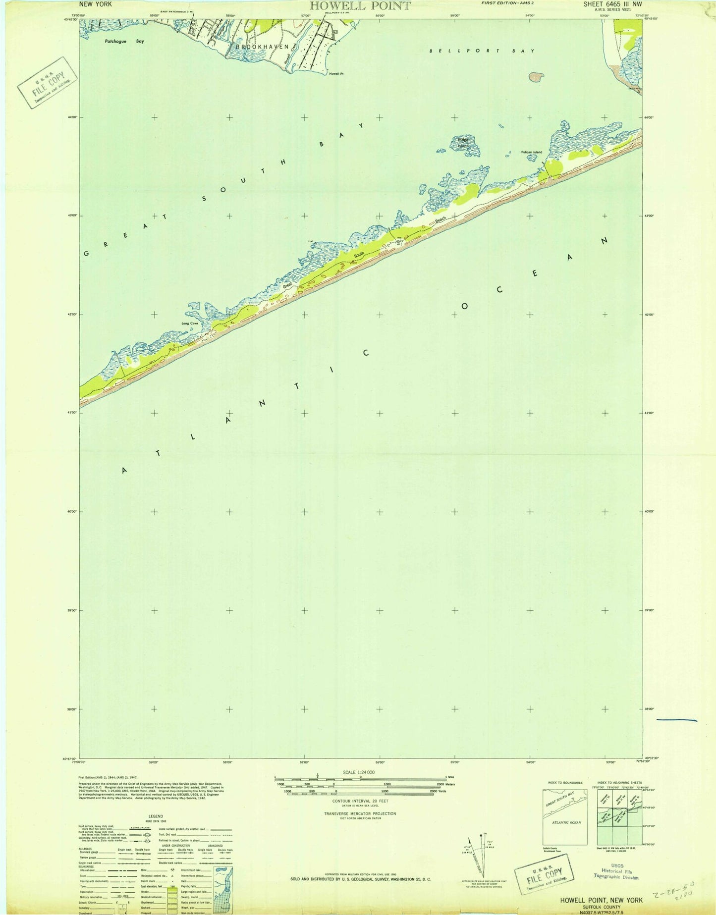
Historical USGS topographic quad map of Howells Point in the state of New York. Map scale may vary for some years, but is generally around 1:24,000. Print size is approximately 24" x 27"
This quadrangle is in the following counties: Suffolk.
The map contains contour lines, roads, rivers, towns, and lakes. Printed on high-quality waterproof paper with UV fade-resistant inks, and shipped rolled.
Contains the following named places: Abets Creek, Bayberry Dunes, Bellport Life Saving Station, Goose Point, Hedges Creek, Hospital Island, Howells Creek, Howells Point, John Boyle Island, Long Cove, Molasses Point, Mud Creek, Otis Pike Fire Island High Dune Wilderness, Pelican Island, Ridge Island, Robinson Cove, Swan River, Whalehouse Point