MyTopo
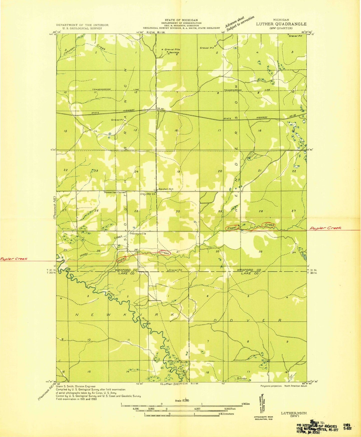
Classic USGS Hoxeyville Michigan 7.5'x7.5' Topo Map
Couldn't load pickup availability
Historical USGS topographic quad map of Hoxeyville in the state of Michigan. Map scale may vary for some years, but is generally around 1:24,000. Print size is approximately 24" x 27"
This quadrangle is in the following counties: Lake, Wexford.
The map contains contour lines, roads, rivers, towns, and lakes. Printed on high-quality waterproof paper with UV fade-resistant inks, and shipped rolled.
Contains the following named places: Angola Post Office, Banker Cemetery, Caberfae Census Designated Place, Caberfae Peaks Ski and Golf Resort, Caberfae Ski Resort Historical Marker, Caberfae Way Trail Parking, Clay Hill Church, Dowling Creek, Elm Flats Canoe Access, Hoxey Creek, Hoxeyville, Hoxeyville Post Office, Kellogg Lookout Tower, Lincoln Bridge Canoe Access, Lincoln Bridge State Forest Campground, McKenzie Ski Trial, Poplar Creek, Ravine Recreation Site, Township of Henderson