MyTopo
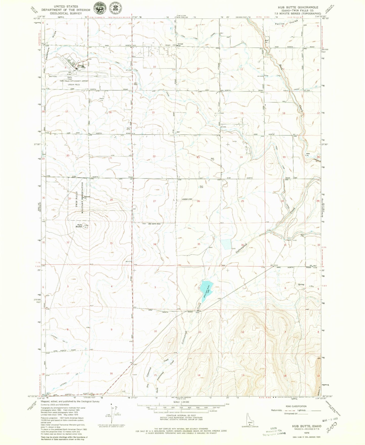
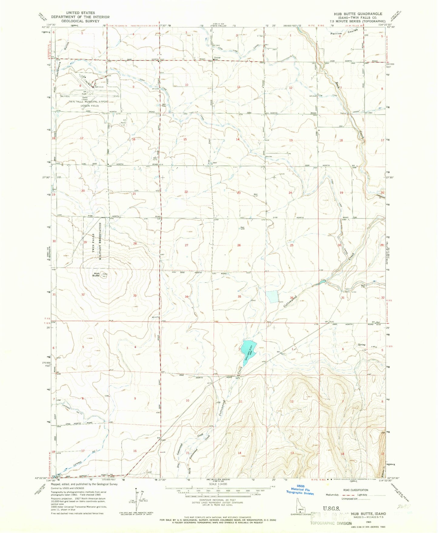
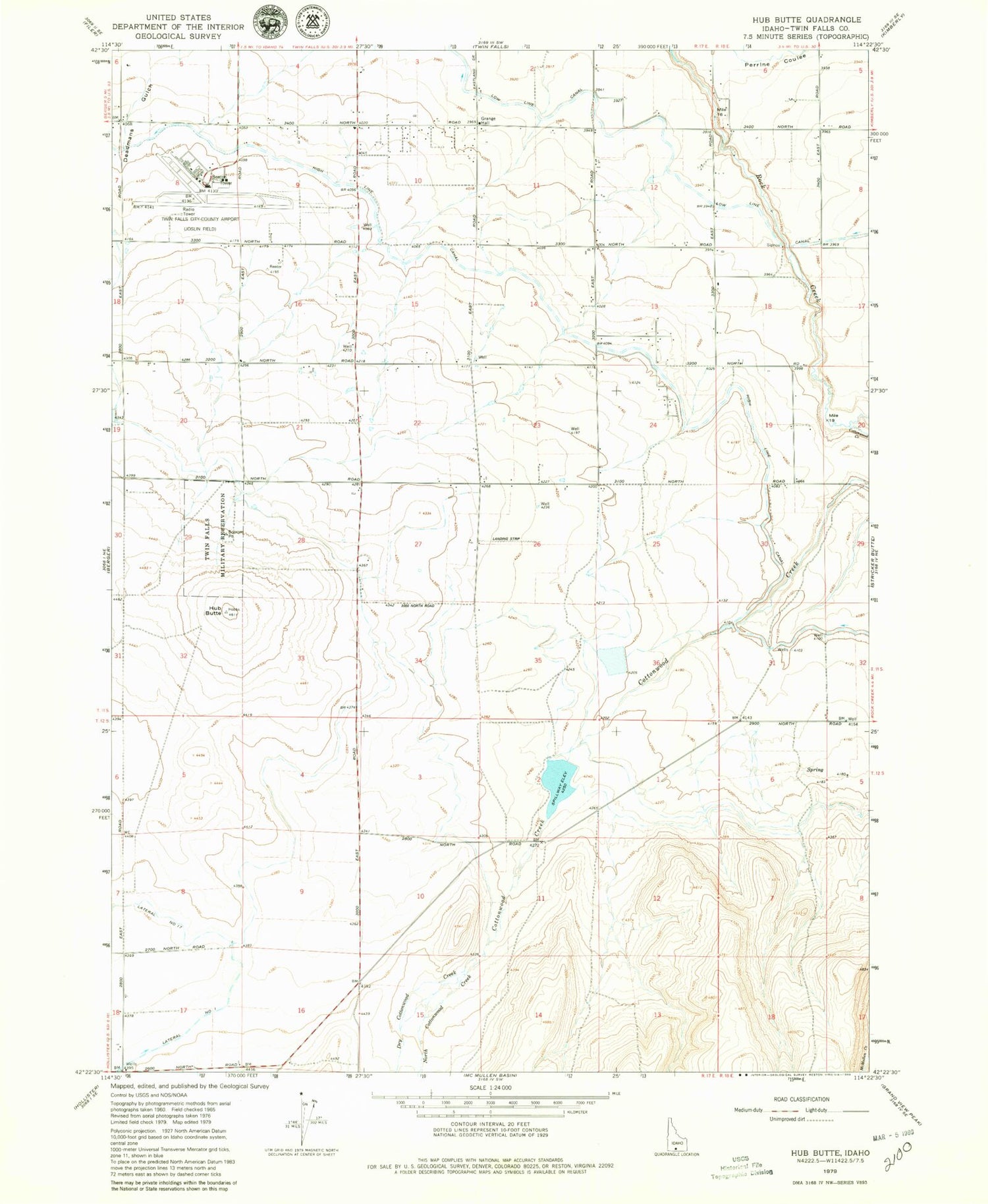
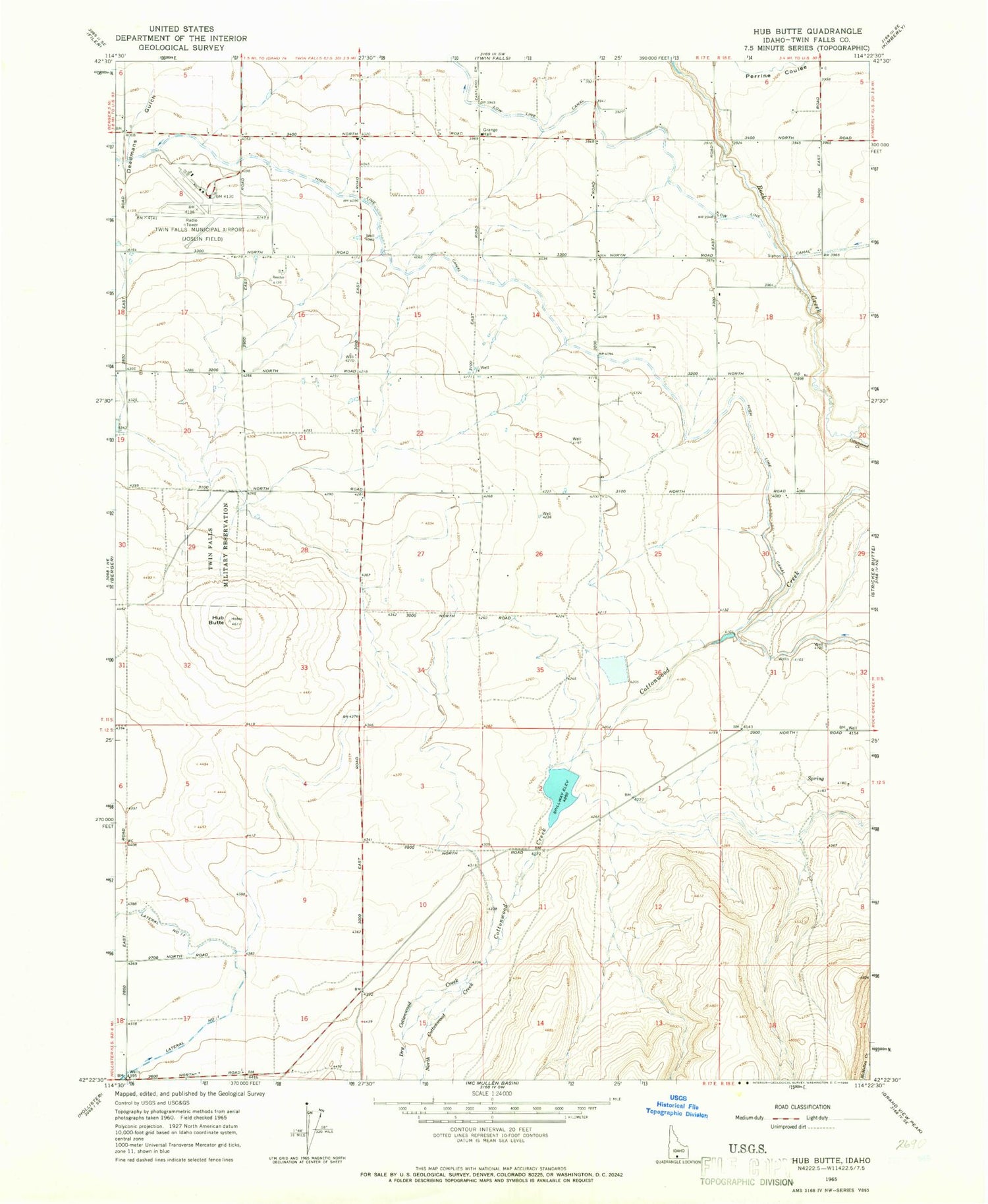
Classic USGS Hub Butte Idaho 7.5'x7.5' Topo Map
Regular price
$16.95
Regular price
Sale price
$16.95
Unit price
per
Couldn't load pickup availability
Historical USGS topographic quad map of Hub Butte in the state of Idaho. Map scale may vary for some years, but is generally around 1:24,000. Print size is approximately 24" x 27"
This quadrangle is in the following counties: Twin Falls.
The map contains contour lines, roads, rivers, towns, and lakes. Printed on high-quality waterproof paper with UV fade-resistant inks, and shipped rolled.
Contains the following named places: Canyonview Farm, Cottonwood Creek, Deadmans Gulch, Dry Cottonwood Creek, Hub Butte, Joslin Field - Magic Valley Regional Airport, McMullen Creek Dam, North Cottonwood Creek, Twin Falls Fire Department Station 4