MyTopo
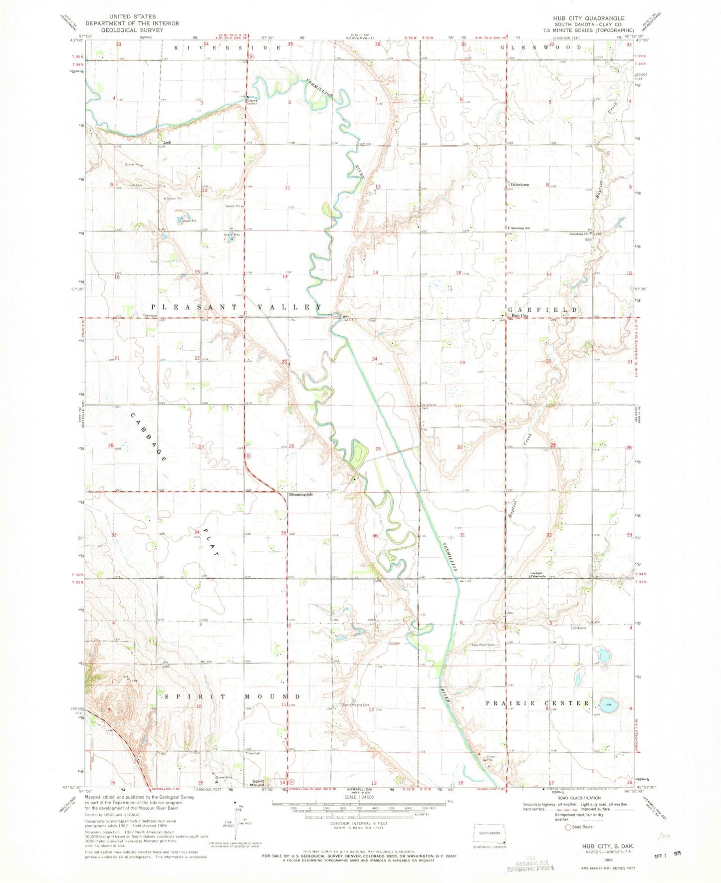
Classic USGS Hub City South Dakota 7.5'x7.5' Topo Map
Couldn't load pickup availability
Historical USGS topographic quad map of Hub City in the state of South Dakota. Map scale may vary for some years, but is generally around 1:24,000. Print size is approximately 24" x 27"
This quadrangle is in the following counties: Clay.
The map contains contour lines, roads, rivers, towns, and lakes. Printed on high-quality waterproof paper with UV fade-resistant inks, and shipped rolled.
Contains the following named places: Alson, Baptist Creek, Bloomingdale, Bloomingdale Methodist Church, Cabbage Flat, Clay County, Clay County Waterfowl Production Area, Clay Point, Clay Point Cemetery, Dalesburg, Dalesburg Baptist Cemetery, Dalesburg Church, Dalesburg School, Garfield Tabernacle, Glenwood Field, Hub City, Lake Como, Lake Emeline, Lodi, Lodi Airport, Marshalltown, Marshalltown School, Old Lodi Cemetery, Pleasant Dell School, Spirit Mound Cemetery, Township of Pleasant Valley