MyTopo
Classic USGS Hubbard Lake Missouri 7.5'x7.5' Topo Map
Couldn't load pickup availability
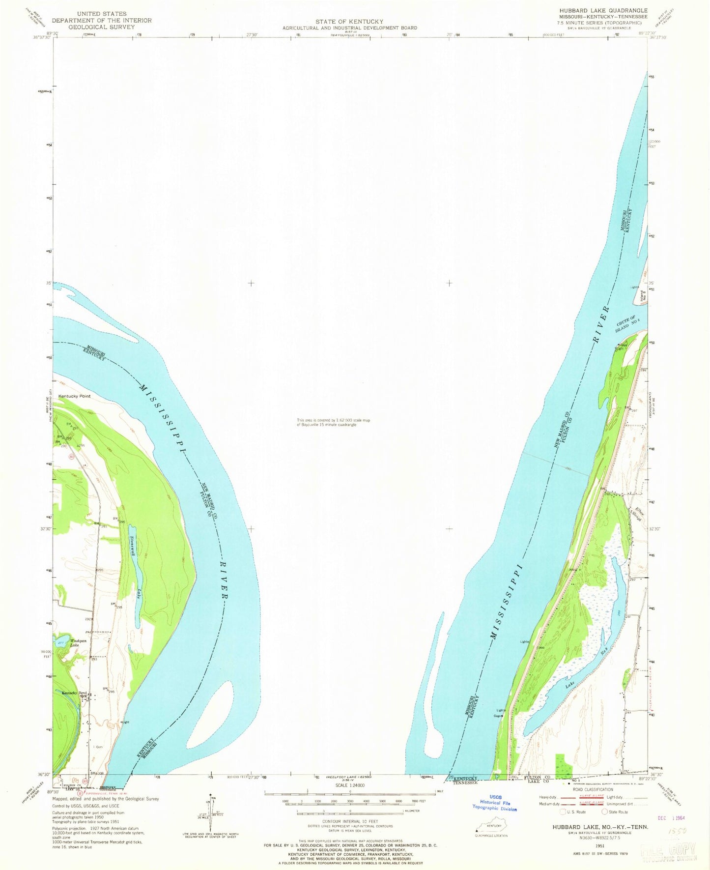
Historical USGS topographic quad map of Hubbard Lake in the states of Missouri, Kentucky. Map scale may vary for some years, but is generally around 1:24,000. Print size is approximately 24" x 27"
This quadrangle is in the following counties: Fulton, Lake, New Madrid.
The map contains contour lines, roads, rivers, towns, and lakes. Printed on high-quality waterproof paper with UV fade-resistant inks, and shipped rolled.
Contains the following named places: Adams Cemetery, Ash Log, Bowman Hole, Chute of Island Number 8, Conran Dike, Conran Dike Hole, Cooper Landing, Cutoff Slough, Dawson Hole, Elbow Slough, Fish Lake, Hancock Hole, Harris Light, Henderson Landing, Higgerson School, Hotchkiss Bend, Hotchkiss Landing, Hubbard Lake, Island Number 9, Kelly Landing, Kentucky Bend, Kentucky Point, Knotts Bridge, La Forge Landing, La Forge Revetment, Lake Number 9, Lester Landing, Mable Landing, Madrid Bar, Madrid Bend Church, Morrison Hole, Morrison Landing, Mud Ditch, New Madrid Farrenburg Levee, Newsom Landing, Ransburgh Hole, Riley Lake, Round Hole, Spies Landing, Stonewall Lake, Stump Hole, T Louis Bayou, Township of Saint John, Tressle Hole, Washpan Lake, Whitson Cemetery, Wilson Bayou, ZIP Code: 63869


